MyTopo
Rockledge Georgia US Topo Map
Couldn't load pickup availability
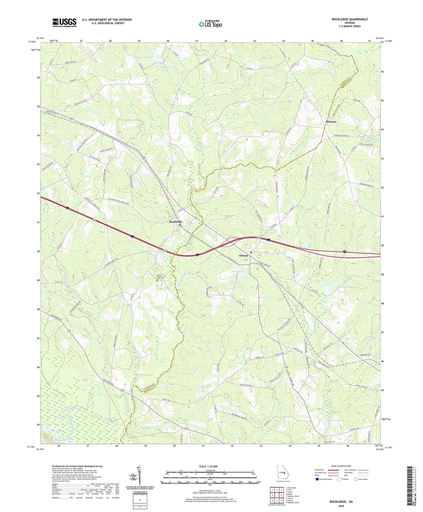
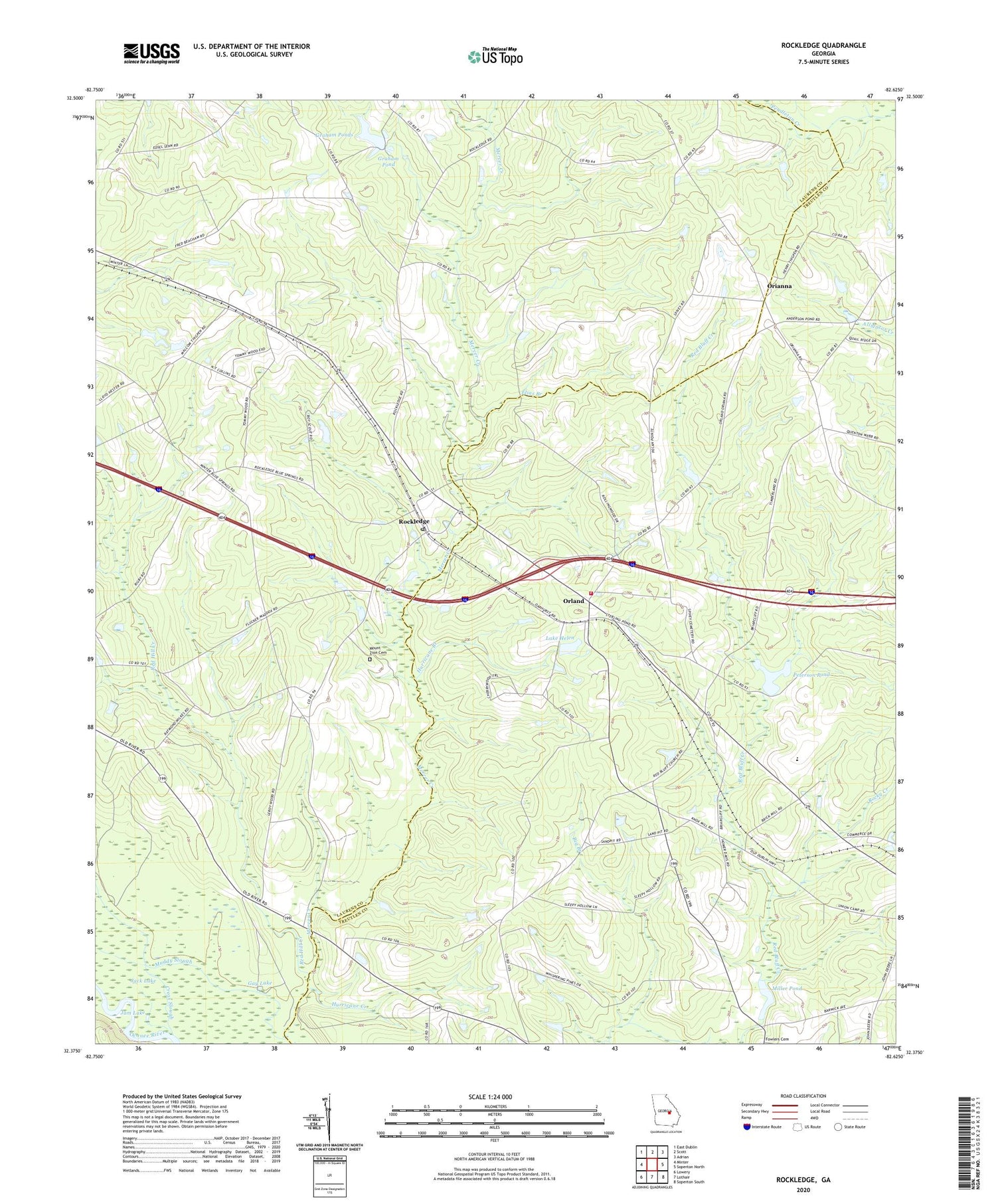
2024 topographic map quadrangle Rockledge in the state of Georgia. Scale: 1:24000. Based on the newly updated USGS 7.5' US Topo map series, this map is in the following counties: Laurens, Treutlen. The map contains contour data, water features, and other items you are used to seeing on USGS maps, but also has updated roads and other features. This is the next generation of topographic maps. Printed on high-quality waterproof paper with UV fade-resistant inks.
Quads adjacent to this one:
West: Minter
Northwest: East Dublin
North: Scott
Northeast: Adrian
East: Soperton North
Southeast: Soperton South
South: Lothair
Southwest: Lowery
This map covers the same area as the classic USGS quad with code o32082d6.
Contains the following named places: Beacham Lake, Big Branch, Blue Spring Church, Blue Spring School, Cross Slough, Elias Branch, Gay Lake, Graham Pond, Graham Ponds, Grahams Pond Dam, Harmony Church, Hurricane Branch, Hurricane Creek, Jack Lake, Jam Lake, Lake Helen, Lake Helen Dam, Mercer Ford, Miller Pond, Mount Zion Cemetery, Mount Zion Methodist Church, Muddy Slough, Norris Chapel, Orianna, Orianna Church, Orland, Peterson Pond, Peterson Pond Dam, Pleasant Hill Church, Red Bluff Church, Red Hill Creek, Rockledge, Rockledge Methodist Church, Rockledge Post Office, Rocky Creek, Salter Smith Church, Stave Landing, Treutlen Fire Department Station 3, Wilkes School, ZIP Code: 30454