MyTopo
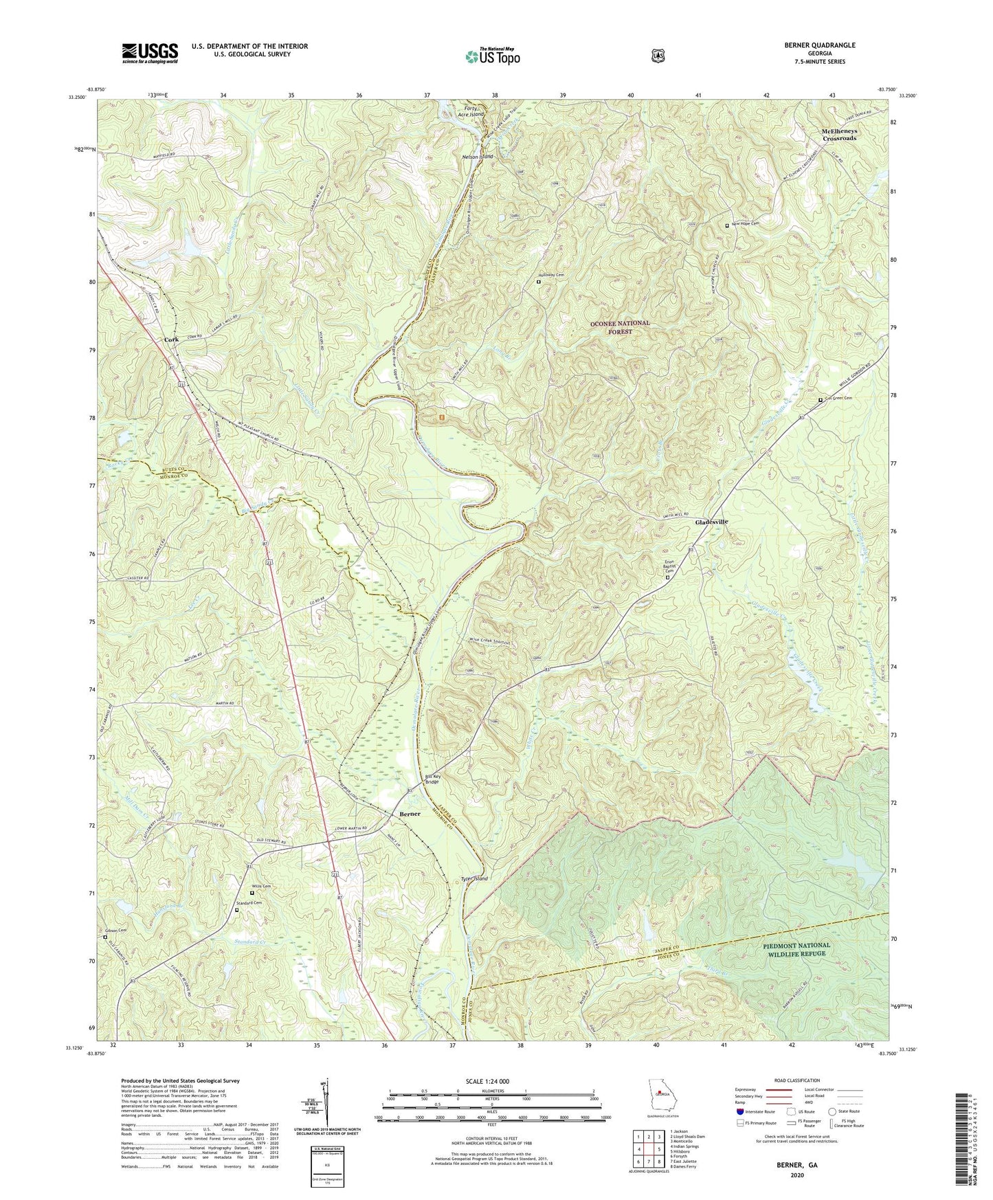
Berner Georgia US Topo Map
Couldn't load pickup availability
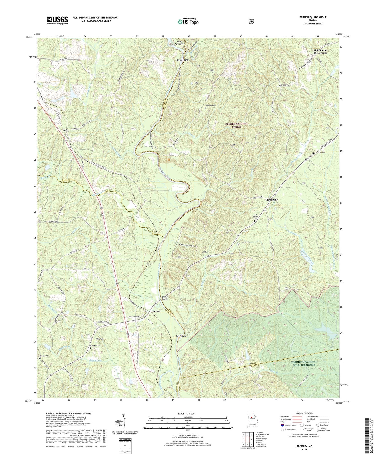
Also explore the Berner Forest Service Topo of this same quad for updated USFS data
2024 topographic map quadrangle Berner in the state of Georgia. Scale: 1:24000. Based on the newly updated USGS 7.5' US Topo map series, this map is in the following counties: Jasper, Monroe, Butts, Jones. The map contains contour data, water features, and other items you are used to seeing on USGS maps, but also has updated roads and other features. This is the next generation of topographic maps. Printed on high-quality waterproof paper with UV fade-resistant inks.
Quads adjacent to this one:
West: Indian Springs
Northwest: Jackson
North: Lloyd Shoals Dam
Northeast: Monticello
East: Hillsboro
Southeast: Dames Ferry
South: East Juliette
Southwest: Forsyth
This map covers the same area as the classic USGS quad with code o33083b7.
Contains the following named places: Berner, Big Sandy Creek, Bill Key Bridge, Bridges Ferry, C H Greer Cemetery, Cabaniss Baptist Church, Cork, Crow Branch, Douglas Creek, Enon Baptist Cemetery, Enon Church, Forty Acre Island, Gibson Cemetery, Gladesville, Gladesville Hunt Camp, Gladesville Lookout Tower, Goodman Ferry, Hansford Branch, Holloway Cemetery, Lamars Ferry, Lamars Mill, Lee Creek, Little Sandy Creek, Long Branch, McElheneys Crossroads, Mill Dam Creek, Mount Olive Baptist Cemetery, Mount Olive Church, Mount Olive School, Nelson Island, New Hope Cemetery, New Hope Church, Oak Grove School, Ocmulgee Flats Hunt Camp, Ocmulgee River Trail, Plymale Creek, Poplar Spring School, Rocky Creek, Rocky Hill School, Saint Pauls Church, Smiths Chapel, Standard Cemetery, Sunshine Church, Thompsons Mill, Towaliga River, Tyler Island, Waits Ferry, Ward Church, White Creek, Willis Cemetery, Wise Creek, Wise Creek Hunt Camp