
MyTopo
Bethany Georgia US Topo Map
Couldn't load pickup availability
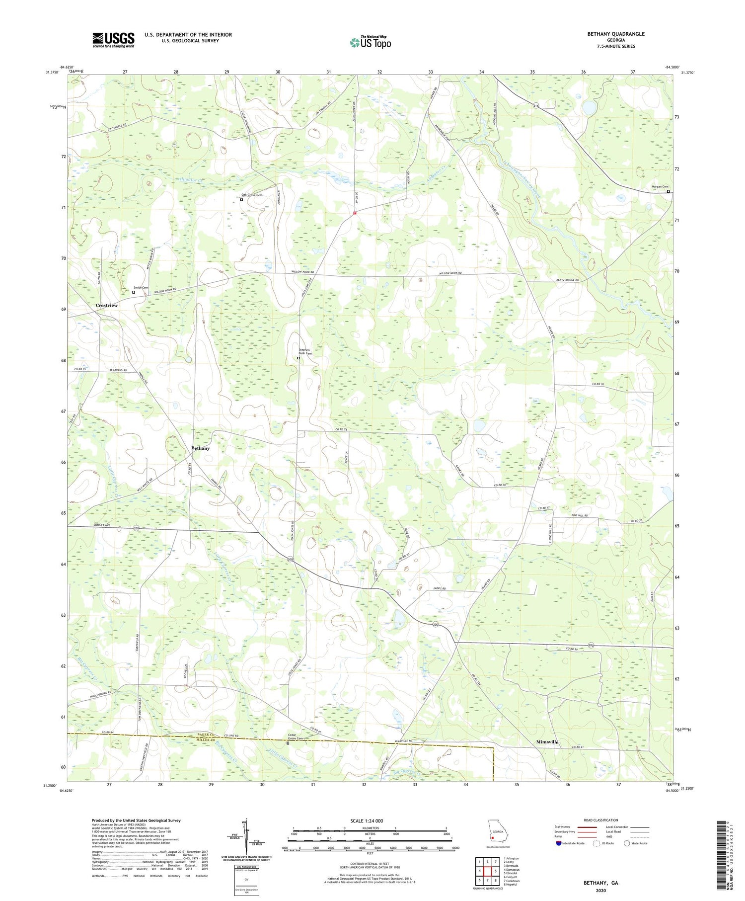
2024 topographic map quadrangle Bethany in the state of Georgia. Scale: 1:24000. Based on the newly updated USGS 7.5' US Topo map series, this map is in the following counties: Baker, Miller. The map contains contour data, water features, and other items you are used to seeing on USGS maps, but also has updated roads and other features. This is the next generation of topographic maps. Printed on high-quality waterproof paper with UV fade-resistant inks.
Quads adjacent to this one:
West: Damascus
Northwest: Arlington
North: Leary
Northeast: Bermuda
East: Elmodel
Southeast: Hopeful
South: Cooktown
Southwest: Colquitt
This map covers the same area as the classic USGS quad with code o31084c5.
Contains the following named places: Alligator Creek, Baker Academy, Bethany, Bethany Church, Cedar Grove Cemetery, Christ Church, Crestview, Dewsville, Ichaway Church, Little Cypress Creek, Live Oak Church, Milford Division, Mimsville, Morgan Cemetery, Mount Enon Church, New Evergreen Church, Oak Grove Cemetery, Oak Grove Church, Patmos Community Volunteer Fire Department, Pleasant View Church, Smith Cemetery, Stephen Bush Cemetery


