
MyTopo
Arlington Georgia US Topo Map
Couldn't load pickup availability
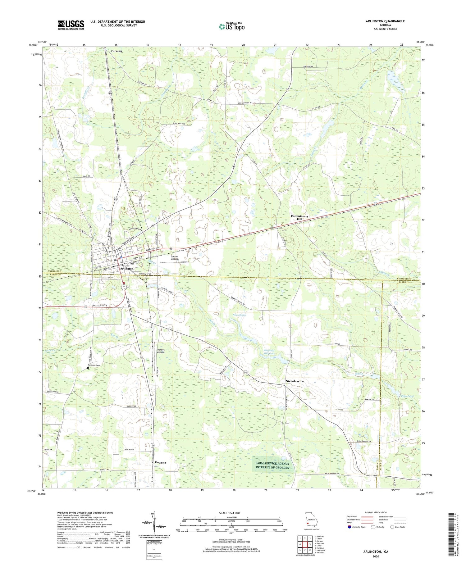
2024 topographic map quadrangle Arlington in the state of Georgia. Scale: 1:24000. Based on the newly updated USGS 7.5' US Topo map series, this map is in the following counties: Calhoun, Early, Baker. The map contains contour data, water features, and other items you are used to seeing on USGS maps, but also has updated roads and other features. This is the next generation of topographic maps. Printed on high-quality waterproof paper with UV fade-resistant inks.
Quads adjacent to this one:
West: Bancroft
Northwest: Bluffton
North: Edison
Northeast: Morgan
East: Leary
Southeast: Bethany
South: Damascus
Southwest: Hentown
This map covers the same area as the classic USGS quad with code o31084d6.
Contains the following named places: Andrews Airport, Arlington, Arlington Baptist Church, Arlington Church, Arlington Division, Arlington Elementary School, Arlington Methodist Episcopal Church, Arlington Police Department, Arlington Post Office, Calhoun County Elementary School, Calhoun Memorial Hospital, City of Arlington, Commissary Hill, Covington Mill, Early County Fire Department Arlington Station, Gessemane Baptist Church, Harpe Cemetery, Hillside Church, Hopewell Church, Jones Spur, Jordans Airport, Kiokee Church, Mount Zion Church, Nancy Spring, New Point Church, New Prospect Church, Nicholasville, Piney Grove Church, Rays Pond, Rowena, Rue Branch, Saint Paul Church, Sheffield Millpond, Sheffield Millpond Dam, Thomas Grove Church, Timmons Cemetery, Zion Hill Church, ZIP Code: 39813


