MyTopo
Ila Georgia US Topo Map
Couldn't load pickup availability
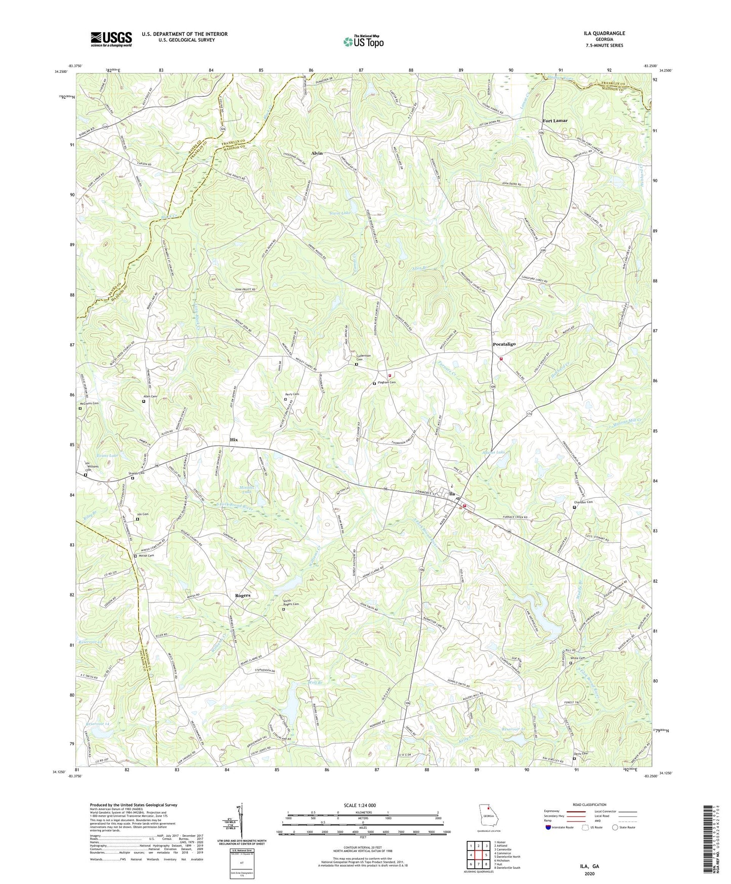
2024 topographic map quadrangle Ila in the state of Georgia. Scale: 1:24000. Based on the newly updated USGS 7.5' US Topo map series, this map is in the following counties: Madison, Banks, Jackson, Franklin. The map contains contour data, water features, and other items you are used to seeing on USGS maps, but also has updated roads and other features. This is the next generation of topographic maps. Printed on high-quality waterproof paper with UV fade-resistant inks.
Quads adjacent to this one:
West: Commerce
Northwest: Homer
North: Ashland
Northeast: Carnesville
East: Danielsville North
Southeast: Danielsville South
South: Hull
Southwest: Nicholson
This map covers the same area as the classic USGS quad with code o34083b3.
Contains the following named places: Adams Lake, Adams Lake Dam, Allen Branch, Allen Cemetery, Alvin, Camp Maranatha, Chandler Cemetery, City of Ila, Cleveland School, Community Church, Culbertson Cemetery, Davis Cemetery, Erastus Church, Evans Lake Dam, Flagham Cemetery, Fort Lamar, Freedom Church, Friendship Church, Furnace Creek, Galilee Church, Haggards Crossroad, Hix, Hix - Williams Cemetery, Hix Cemetery, Hubbard Creek, Ila, Ila Baptist Church, Ila Division, Ila Elementary School, Ila High School, Ila Post Office, Ila Volunteer Fire Department, Irwin Lake, Irwin Lake Dam, Kelly Creek, Lamar Creek, Liberty Church, Lilburn School, Little Black Creek, Madison County Emergency Medical Services Station 3, McGinnis Cemetery, Minish, Minish Cemetery, Minishs Lake, Montgomery Grove Methodist Church, Mount Hermon Presbyterian Church, Mount Zion Church, Muddy Branch, Northside School, Perry Cemetery, Poca Volunteer Fire Department Station 1, Poca Volunteer Fire Department Station 2, Pocataligo, Providence Church, Red Oak School, Reservoir 14, Reservoir 27, Reservoir 51, Reservoir Four, Rogers, Rogers Baptist Church, Rogers Chapel, Rogers Mill, Rogers School, Sandy Creek Structure 14 Dam, Shields Cemetery, Smith - Rogers Cemetery, Smiths Store, South Fork Braod River Structure 51 Dam, South Fork Broad River Structure 27 Dam, South Fork Broad River Structure 46 Dam, Tabor Chapel, Union Church, Wesleys Chapel, White Cemetery, Williams Creek, Wolf Branch, WPUP-FM (Royston), Wrights School


