MyTopo
Jersey Georgia US Topo Map
Couldn't load pickup availability
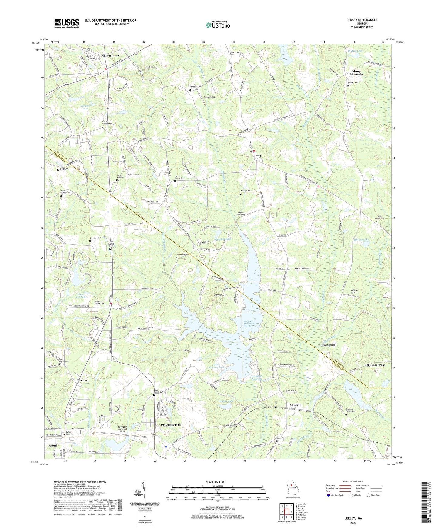
2024 topographic map quadrangle Jersey in the state of Georgia. Scale: 1:24000. Based on the newly updated USGS 7.5' US Topo map series, this map is in the following counties: Walton, Newton. The map contains contour data, water features, and other items you are used to seeing on USGS maps, but also has updated roads and other features. This is the next generation of topographic maps. Printed on high-quality waterproof paper with UV fade-resistant inks.
Quads adjacent to this one:
West: Milstead
Northwest: Loganville
North: Between
Northeast: Monroe
East: Social Circle
Southeast: Mansfield
South: Covington
Southwest: Porterdale
This map covers the same area as the classic USGS quad with code o33083f7.
Contains the following named places: Airport Grove, Alcovy, Alcovy Airport, Alcovy Church, Alcovy Mountain, Andrew Hall, Bailey Family Cemetery, Big Flat Creek, Brewer Cemetery, Briarpatch, Brodnax Cemetery, Brown Family Cemetery, Byrd Cemetery, Calhoun Dam, Calhoun Lake, Carter Family Cemetery, Cedar Ridge, Chapman Family Cemetery, City of Jersey, City of Oxford, City of Walnut Grove, Colley Cemetery, Cook Family Cemetery, Cornish Creek Reservoir, Cornish Mountain, Cornish Mountain Church, Covington Municipal Airport, Covington Reservoir, Covington Reservoir Dam, Dally Family Cemetery, DeKalb Technical College Covington Campus, Dialtown, Dover Church Cemetery, Ellington Cemetery, Essex Village, Flint Hill, Flint Hill Cemetery, Forrester Cemetery, Greenwood Acres, Harris Family Cemetery, Hazelbrand Acres, Hinton Shoals, Hodges Dam, Hodges Lake, Holiness Church, Jersey, Jersey Christian Academy, Jersey Division, Jersey Methodist Church, Jersey Post Office, Jersey Volunteer Fire Department, Liberty Hill Church, Little Bethel Church, Little Cornish Creek, Little Flat Creek, Lower Williams Lake, Lower Williams Lake Dam, Macedonia Baptist Cemetery, Macedonia Church, Meadow View, Mobley Cemetery, Mount Zion Church, Mountain Creek, Murphy Hills, Naked Creek, Newton County Sheriff's Office, North Newton Volunteer Fire Department Station 8, Oxford Town Cemetery, Palmer - Stone Elementary School, Pine Top Hill, Pleasant Hill Cemetery, Poole Farm Airport, Richland Creek, River Cove, Sardis Baptist Cemetery, Sardis Church, Shephard Dam, Shephard Lake, Simms Chapel, Stone Lea, Stone Lea Lake, Stone Lea Lake Dam, Strouds Creek, Sunset Strip, Upper Williams Lake, Upper Williams Lake Dam, Wallace Lake, Wallace Lake Dam, Walnut Grove, Walnut Grove Elementary School, Walnut Grove Post Office, Walnut Grove Town Hall, Walton County Fire Rescue Department Station 10, Walton County Fire Rescue Department Station 3, Whitley Dam, Whitley Lake, ZIP Code: 30054


