MyTopo
Nelson Georgia US Topo Map
Couldn't load pickup availability
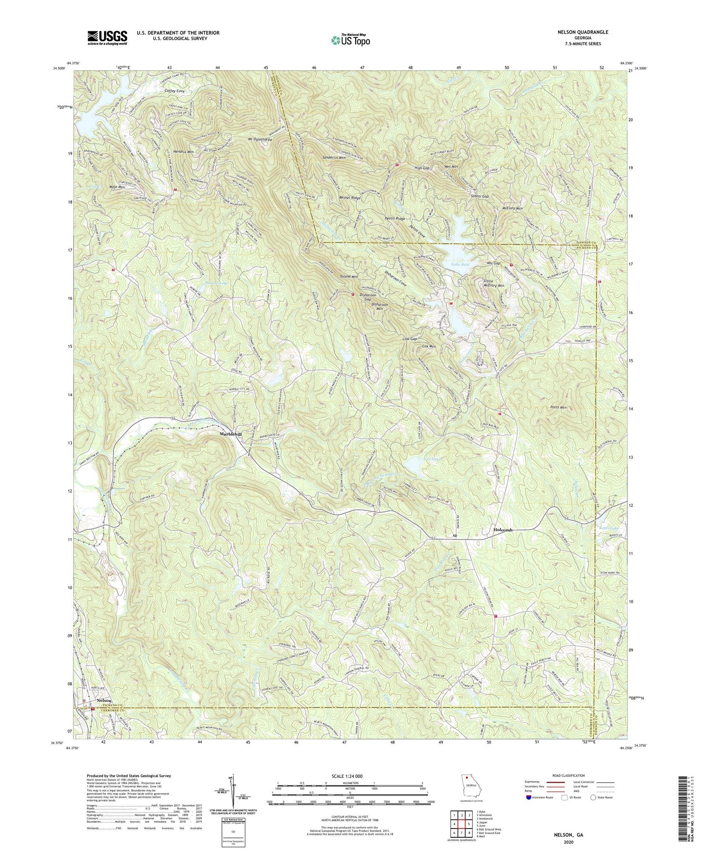
2024 topographic map quadrangle Nelson in the state of Georgia. Scale: 1:24000. Based on the newly updated USGS 7.5' US Topo map series, this map is in the following counties: Pickens, Dawson, Cherokee. The map contains contour data, water features, and other items you are used to seeing on USGS maps, but also has updated roads and other features. This is the next generation of topographic maps. Printed on high-quality waterproof paper with UV fade-resistant inks.
Quads adjacent to this one:
West: Jasper
Northwest: Dyke
North: Amicalola
Northeast: Nimblewill
East: Juno
Southeast: Matt
South: Ball Ground East
Southwest: Ball Ground West
This map covers the same area as the classic USGS quad with code o34084d3.
Contains the following named places: Abs Gap, Anderson Lake, Arbor Hill Church, Bent Tree Dam, Bent Tree Fire Department, Bethel Ridge, Bethesda Cemetery, Bethesda Church, Big Canoe Fire Department Station 1, Big Canoe Fire Department Station 2, Big Canoe Fire Department Station 3, Big Canoe Fire Department Station 4, Big Canoe Fire Department Station 5, Big Canoe Heliport, Blackwell Creek, City of Nelson, Coffey Cove, Corinth Church, Cox Creek, Cox Lake, Cox Mountain, Daniels, Darnell Creek, Dawson County Fire Department Station 6, Disharoon Cove, Disharoon Creek, Disharoon Gap, Disharoon Lake, Disharoon Lake Dam, Disharoon Mountain, Dubose Lake, Dubose Lake Dam, East Branch Long Swamp Creek, Federal School, Fourmile Church, Fourmile Creek, Georgia Marble Company Lake, Harrison Lake, Harrison Lake Dam, Hendrix Mountain, High Gap, Holcomb, Kents Lake, Lake Petit, Lake Petit Dam, Lake Tamarack, Little McElory Mountain, Long Swamp Church, Long Swamp Creek Watershed Dam Number Eight, Long Swamp Watershed Dam Number 14, Long Swamp Watershed Dam Number 18, Long Swamp Watershed Dam Number Nine, Low Gap, Marble Hill Methodist Church, Marble Hill Post Office, Marble Hill School, Marblehill, McElory Mountain, Mole Mountain, Mount Oglethorpe, Nelson, Nelson Methodist Church, Nelson Police Department, Nelson Post Office, Nelson Volunteer Fire Department, Nelson-Tate-Marble Hill Division, New Lebanon Church, Odum Lake, Pettit Cove, Pettit Creek, Pettit Ridge, Pickens County Fire and Rescue Department Station 9, Pleasant Union Church, Potts Mountain, Sanderlin Mountain, Sconti Gap, Sconti Lake, Sconti Lake Dam, South Pickens Division, Tate Division, Tate Lookout Tower, Toland Mountain, Weaver School, Wet Mountain, Yellow Creek Church, ZIP Code: 30148


