MyTopo
Ball Ground East Georgia US Topo Map
Couldn't load pickup availability
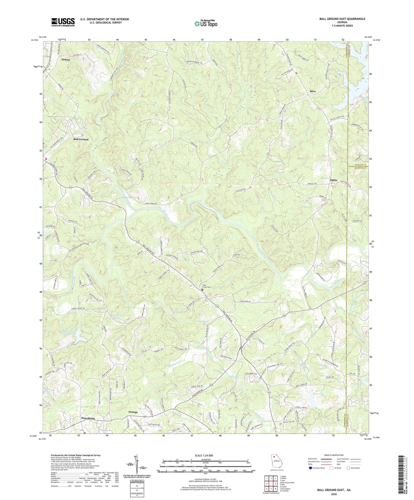
2024 topographic map quadrangle Ball Ground East in the state of Georgia. Scale: 1:24000. Based on the newly updated USGS 7.5' US Topo map series, this map is in the following counties: Cherokee, Forsyth, Dawson. The map contains contour data, water features, and other items you are used to seeing on USGS maps, but also has updated roads and other features. This is the next generation of topographic maps. Printed on high-quality waterproof paper with UV fade-resistant inks.
Quads adjacent to this one:
West: Ball Ground West
Northwest: Jasper
North: Nelson
Northeast: Juno
East: Matt
Southeast: Cumming
South: Birmingham
Southwest: Canton
This map covers the same area as the classic USGS quad with code o34084c3.
Contains the following named places: Atlanta Gas Light Lake, Atlanta Gas Light Lake Dam, Ball Ground Fire Department, Ball Lake, Bartholomew Lake, Bartholomew Lake Dam, Board Tree Creek, Bryant Creek, Buzzard Flapper Creek, Calvary Temple, Cane Creek, Cane Creek Cemetery, Cane Creek Church, Centerville, Cherokee Quarry, Cherry Grove Church, Cherry Grove School, Circle Five Volunteer Fire Department, City of Ball Ground, Conn Creek, Conn Creek School, Conn's Creek Baptist Church, Creighton, Crystal Springs Church, Dean Lake, Flatbottom School, Franklin Gold Mine, Hightower Baptist Church, Hurricane Creek, Lathemtown Division, Liberty Church, Liberty School, Long Swamp Creek, Macedonia, Macedonia Church, Macedonia Elementary School, Mackey School, Mica, Mica Church, Mica Fire Department, Mill Canton Structure Number Eight Dam, Mill Canton Structure Number Three Dam, Oakland School, Ophir, Orange, Reservoir 27, Roberts Lake, Settingdown Creek, Settingdown Creek Structure 27 Dam, Shiloh Church, Smithwick Creek, Standard and Swift Mines, Tustian Lake, Tustian Lake Dam, ZIP Code: 30107


