MyTopo
Newnan SW Georgia US Topo Map
Couldn't load pickup availability
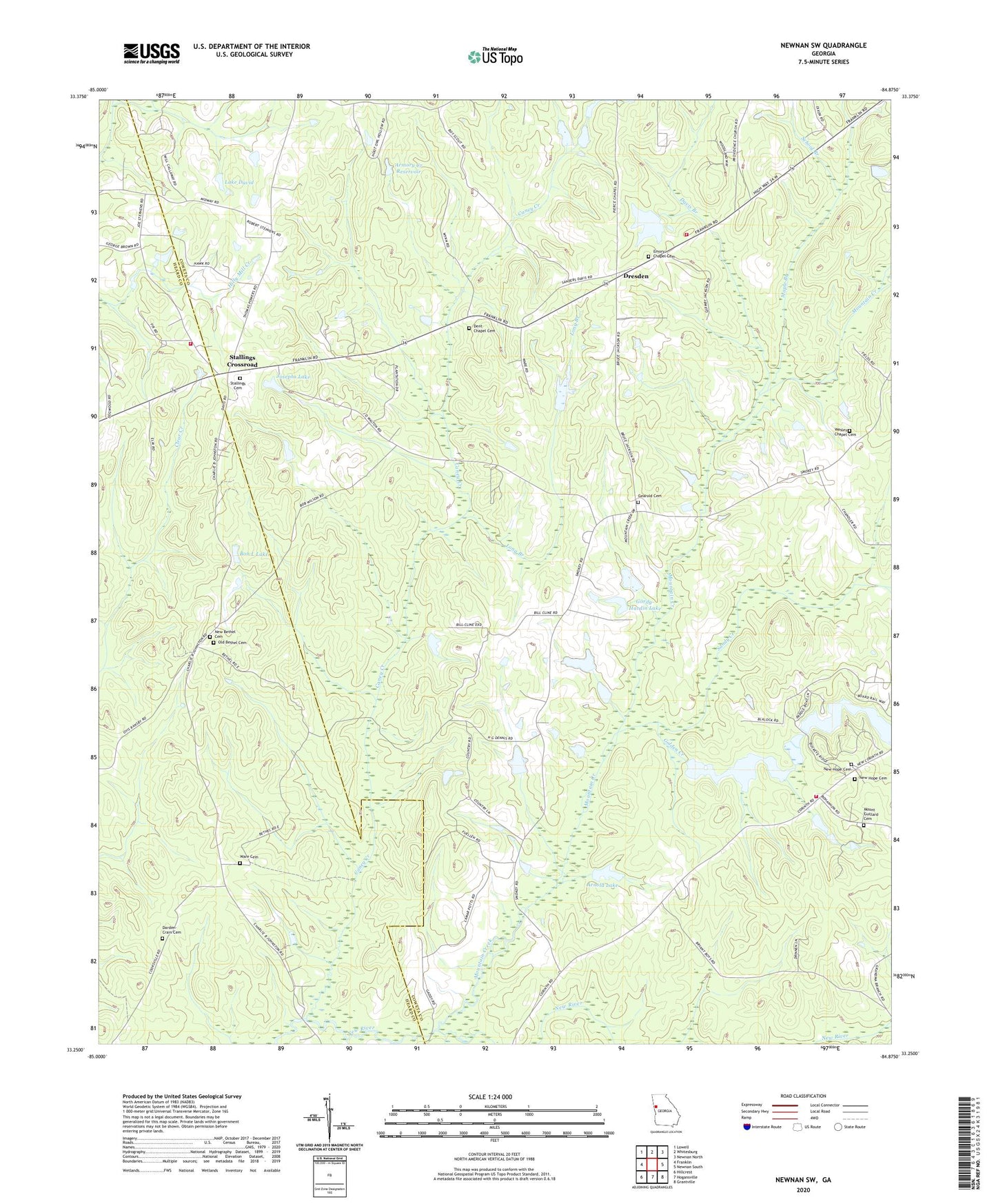
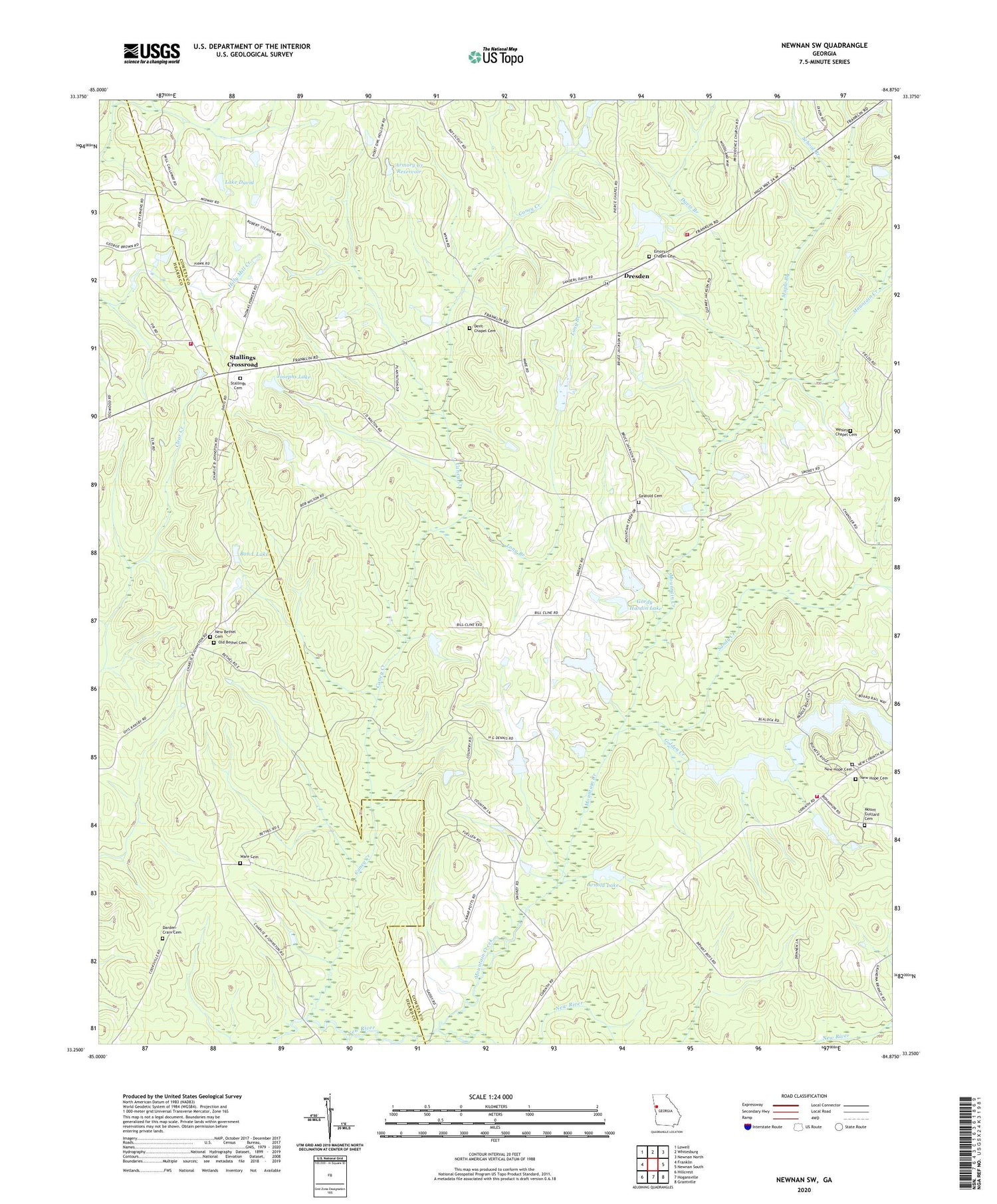
2024 topographic map quadrangle Newnan SW in the state of Georgia. Scale: 1:24000. Based on the newly updated USGS 7.5' US Topo map series, this map is in the following counties: Coweta, Heard. The map contains contour data, water features, and other items you are used to seeing on USGS maps, but also has updated roads and other features. This is the next generation of topographic maps. Printed on high-quality waterproof paper with UV fade-resistant inks.
Quads adjacent to this one:
West: Franklin
Northwest: Lowell
North: Whitesburg
Northeast: Newnan North
East: Newnan South
Southeast: Grantville
South: Hogansville
Southwest: Hillcrest
This map covers the same area as the classic USGS quad with code o33084c8.
Contains the following named places: Armory Creek Dam, Armory Creek Reservoir, Arnold Lake, Arnold Lake Dam, Bethel Church, Blalock Lake Number One, Blalock Lake Number One Dam, Blalock Lake Number Two, Blalock Lake Number Two Dam, Blalock Lakes, Bon L Lake, Bon L Lake Dam, Caney Creek, Corner Branch School, Darden - Crain Cemetery, Davis Branch, Dent Chapel African Methodist Episcopal Church Cemetery, Dent Chapel Methodist Church, Dents School, Dresden, Dresden Airport, Emory Chapel Cemetery, Emory Chapel Methodist Church, Firstborn Church, Franklin Fire Department Station 5, Gearold Cemetery, Golden Creek, Gordy-Hardin Lake, Gordy-Hardin Lake Dam, Josephs Lake, Josephs Lake Dam, Lake David, Long Branch, Macedonia Church, Maple Branch, Midway School, Mount Guillard Cemetery, Mount Guillard Church, Mountain Creek, Murphree Airport, New Bethel Cemetery, New Hope Baptist Church, New Hope Cemetery, New Hope School, Old Bethel Cemetery, Rock Cabin Lake, Rock Cabin Lake Dam, Saint Smyrna Church, Sandy Creek, School Branch, Smyrna Church, Smyrna School, Stallings Cemetery, Stallings Crossroad, Ware Cemetery, Wesley Chapel, Wesley Chapel Cemetery, Wesley School, Wilsons Store


