MyTopo
Ola Georgia US Topo Map
Couldn't load pickup availability
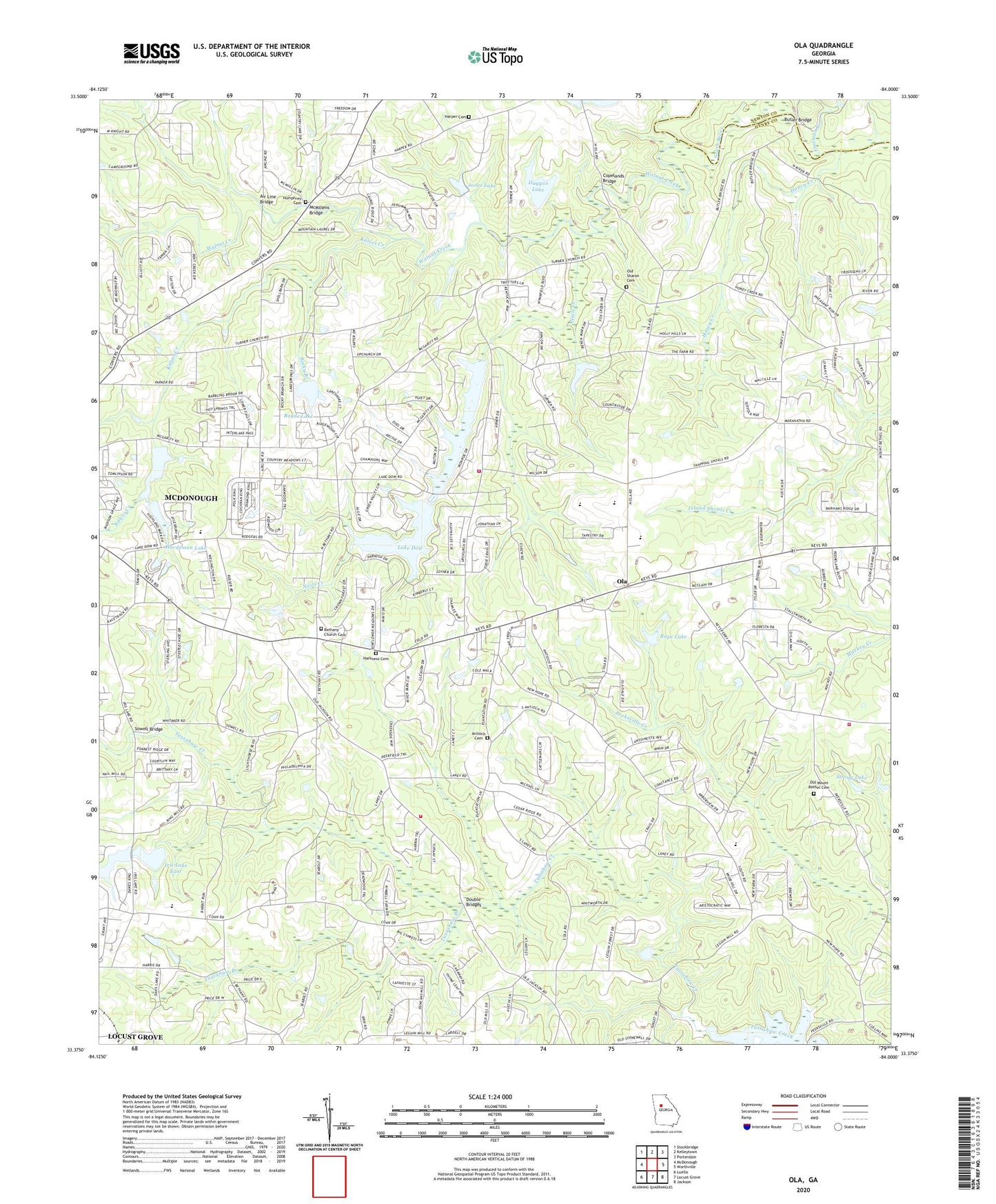
2024 topographic map quadrangle Ola in the state of Georgia. Scale: 1:24000. Based on the newly updated USGS 7.5' US Topo map series, this map is in the following counties: Henry, Newton. The map contains contour data, water features, and other items you are used to seeing on USGS maps, but also has updated roads and other features. This is the next generation of topographic maps. Printed on high-quality waterproof paper with UV fade-resistant inks.
Quads adjacent to this one:
West: McDonough
Northwest: Stockbridge
North: Kelleytown
Northeast: Porterdale
East: Worthville
Southeast: Jackson
South: Locust Grove
Southwest: Luella
This map covers the same area as the classic USGS quad with code o33084d1.
Contains the following named places: Air Line Bridge, Antioch Baptist Church, Antioch Baptist Church Cemetery, Antioch Cemetery, Beersheba School, Bethany Baptist Church, Bethany Church Cemetery, Boyds Lake, Boyds Lake Dam, Butler Bridge, Chimney School, Copelands Bridge, Daniel School, Double Bridges, Duggan Lake, Duggan Lake Dam, Fargasons Mill, Flowers Meeting House, Freeman Creek, Hardeman Dam, Hardeman Lake, Harkness Cemetery, Harper Cemetery, Henry County Fire Department Station 10, Henry County Fire Department Station 12, Henry County Fire Department Station 4, Honey Creek, Humphrey Cemetery, Iris Lake East, Iris Lake East Dam, Iris Lakes, Jones Lake, Jones Lake Dam, Kalves Creek, Lake Dow, Lake Dow Christian Academy, Lake Ola Dam, Landmark Church, Locust Grove Division, McDonough Bible College, McDonough Church of Christ, McDonough Tabernacle, McMillens Bridge, Mount Bethel Baptist Church Cemetery, Mount Bethel Campground, Mount Bethel Church, Mount Bethel United Methodist Church Cemetery, Mount Carmel Baptist Church, Nails Creek, New Creation Center, New Hope Campground, New Hope Church, New Hope Elementary School, Oak Grove School, Ola, Ola Elementary School, Ola High School, Ola Middle School, Old Mount Bethel Cemetery, Old Sharon Cemetery, Old Sharon Church, Paradise Point Shopping Center, Patrick Henry High School South Campus, Patrick Henry Middle School South Campus, Peeksville, Philadelphia Methodist Church, Phillipi Baptist Church, Rape Lake, Rape Lake Dam, Riverview School, Rocky Branch, Rocky Branch School, Sharon Baptist Church, Sharon School, Southern Belle Farms, Sowell Bridge, Stroup Lake, Stroup Lake Dam, Timberidge Church, Turners Methodist Church, Tussahaw Branch, Tussahaw Elementary School, Union Graded School, Unity Grove, Unity Grove Baptist Church, Walnut Creek, WMVV-FM (Mcdonough), Wynns Mill, Zips Airport, ZIP Code: 30252


