MyTopo
Luella Georgia US Topo Map
Couldn't load pickup availability
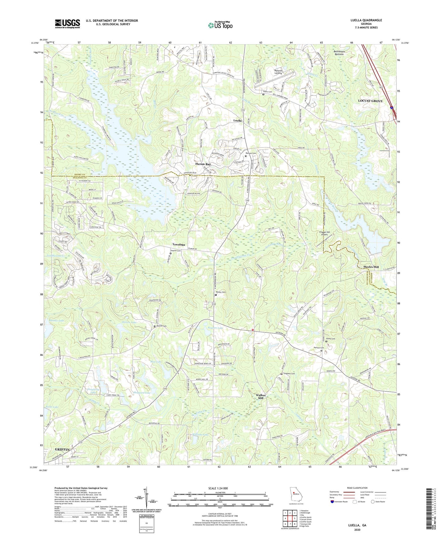
2024 topographic map quadrangle Luella in the state of Georgia. Scale: 1:24000. Based on the newly updated USGS 7.5' US Topo map series, this map is in the following counties: Spalding, Henry. The map contains contour data, water features, and other items you are used to seeing on USGS maps, but also has updated roads and other features. This is the next generation of topographic maps. Printed on high-quality waterproof paper with UV fade-resistant inks.
Quads adjacent to this one:
West: Griffin North
Northwest: Hampton
North: McDonough
Northeast: Ola
East: Locust Grove
Southeast: High Falls
South: Orchard Hill
Southwest: Griffin South
This map covers the same area as the classic USGS quad with code o33084c2.
Contains the following named places: Barham Cemetery, Bostick Cemetery, Breed Cemetery, Cabin Creek Golf Course, Camp Jackson, Chigger Hill Airport, Christ our Savior Lutheran Church, Dougherty Lake, Dougherty Lake Dam, Dundee Lake, Dundee Lake Dam, Ferguson Cemetery, Heron Bay Census Designated Place, Heron Bay Golf & Country Club, Holders Field, Horton Lake, Horton Lake Dam, Hosama Church, Jackson Road Elementary School, Kennedy Road Middle School, Long Branch, Luella, Luella Baptist Church, Luella Middle School, Mallards Landing, Manley Cemetery, McDonough Road Baptist Church, Mill Creek, Mize Lake, Mize Lake Dam, Mount Calvary Church, Parham Cemetery, Parks Lake, Parks Lake Dam, Pleasant Grove, Pleasant Grove Church, Pullin Cemetery, Regents Lake, Regents Lake Dam, Ringgold Church, Ringold Church Cemetery, Shappard Lake, Shappard Lake Dam, Sharon Baptist Church, Slayton Cemetery, Spalding County Fire Department Station 3, Steeles Mill, Strong Rock Christian School, Teamon Church, Thompson Creek, Towalaga, Towalaga Division, Troublesome Creek, Union Church, Upper Towaliga Reservoir, Walker Mill, Williams Lake, Williams Lake Dam, Wolf Creek Baptist Church


