MyTopo
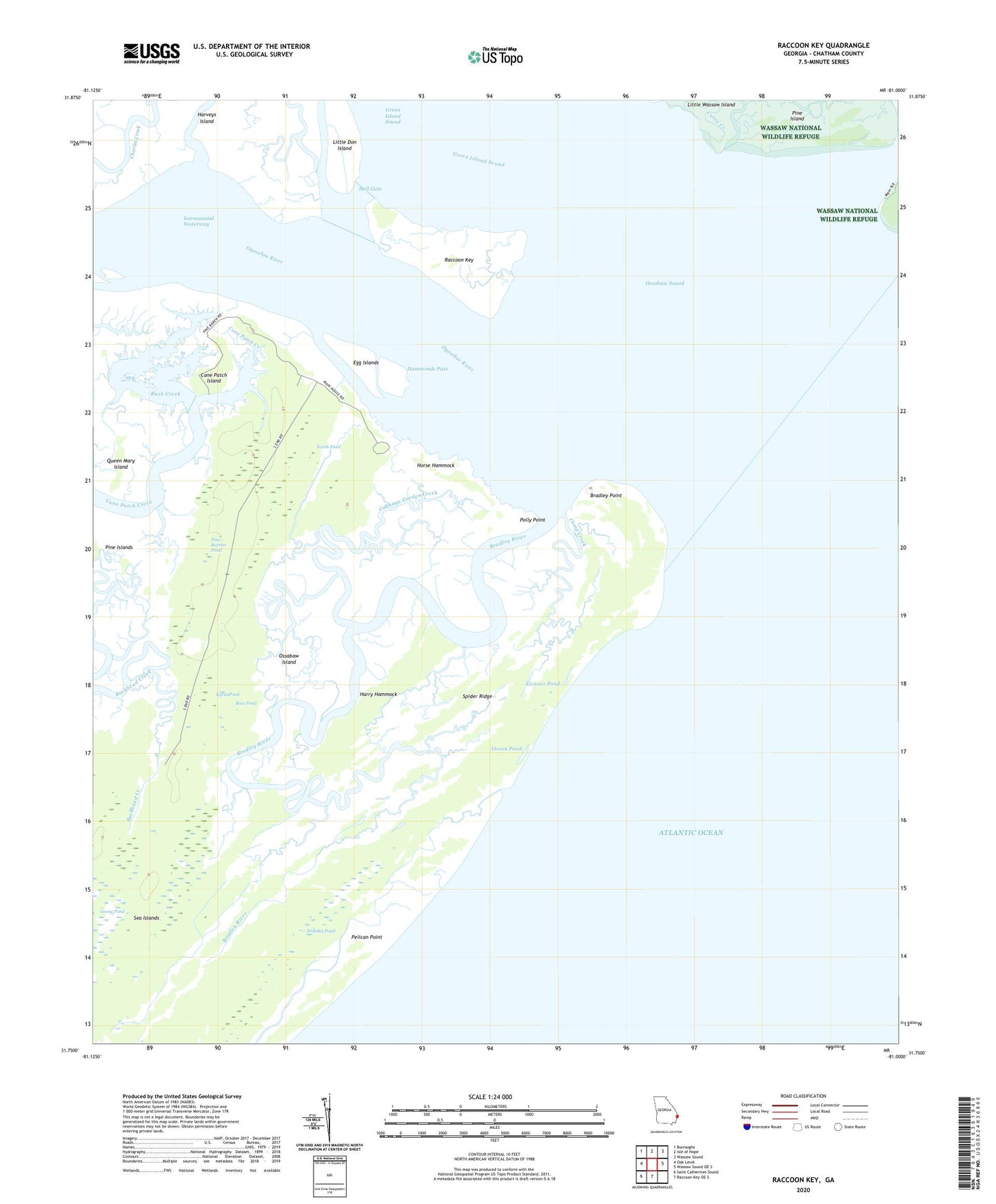
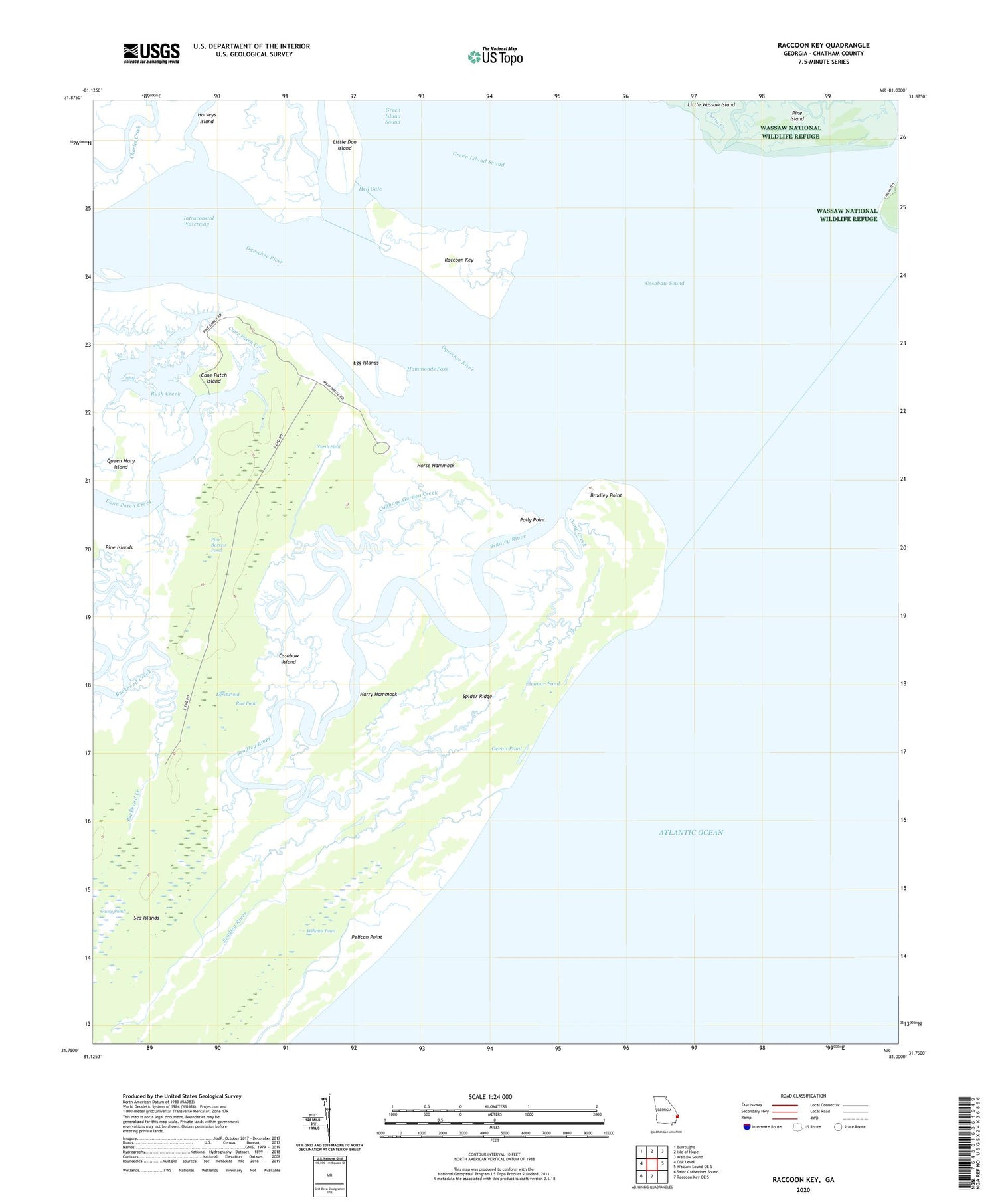
Raccoon Key Georgia US Topo Map
Couldn't load pickup availability
2024 topographic map quadrangle Raccoon Key in the state of Georgia. Scale: 1:24000. Based on the newly updated USGS 7.5' US Topo map series, this map is in the following counties: Chatham. The map contains contour data, water features, and other items you are used to seeing on USGS maps, but also has updated roads and other features. This is the next generation of topographic maps. Printed on high-quality waterproof paper with UV fade-resistant inks.
Quads adjacent to this one:
West: Oak Level
Northwest: Burroughs
North: Isle of Hope
Northeast: Wassaw Sound
East: Wassaw Sound OE S
South: Raccoon Key OE S
Southwest: Saint Catherines Sound
This map covers the same area as the classic USGS quad with code o31081g1.
Contains the following named places: Bradley Point, Bradley River, Cabbage Garden Creek, Camp Creek, Cane Patch Island, Curtis Creek, Egg Islands, Egret Pond, Eleanor Pond, Goose Pond, Green Island Sound, Hammonds Pass, Harry Hammock, Hell Gate, Horse Hammock, Little Don Island, Middle Marsh Islands, Middle Place, North Field, Ocean Pond, Odingsell River, Ogeechee River, Ossabaw Island, Ossabaw Island State Heritage Preserve, Ossabaw Sound, Pelican Point, Pine Barren Pond, Pine Island, Polly Point, Queen Mary Island, Raccoon Key, Rice Pond, Rocket Pond, Rush Creek, Spider Ridge, Torreys Landing, Willows Pond


