MyTopo
Ritch Georgia US Topo Map
Couldn't load pickup availability
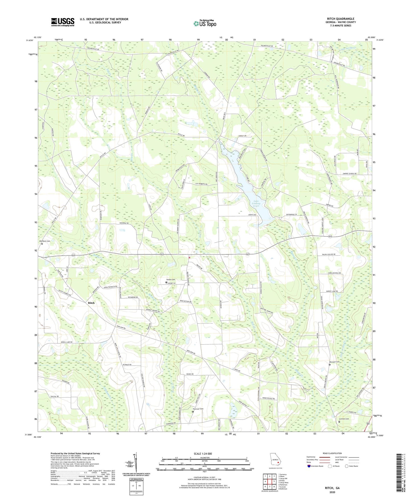
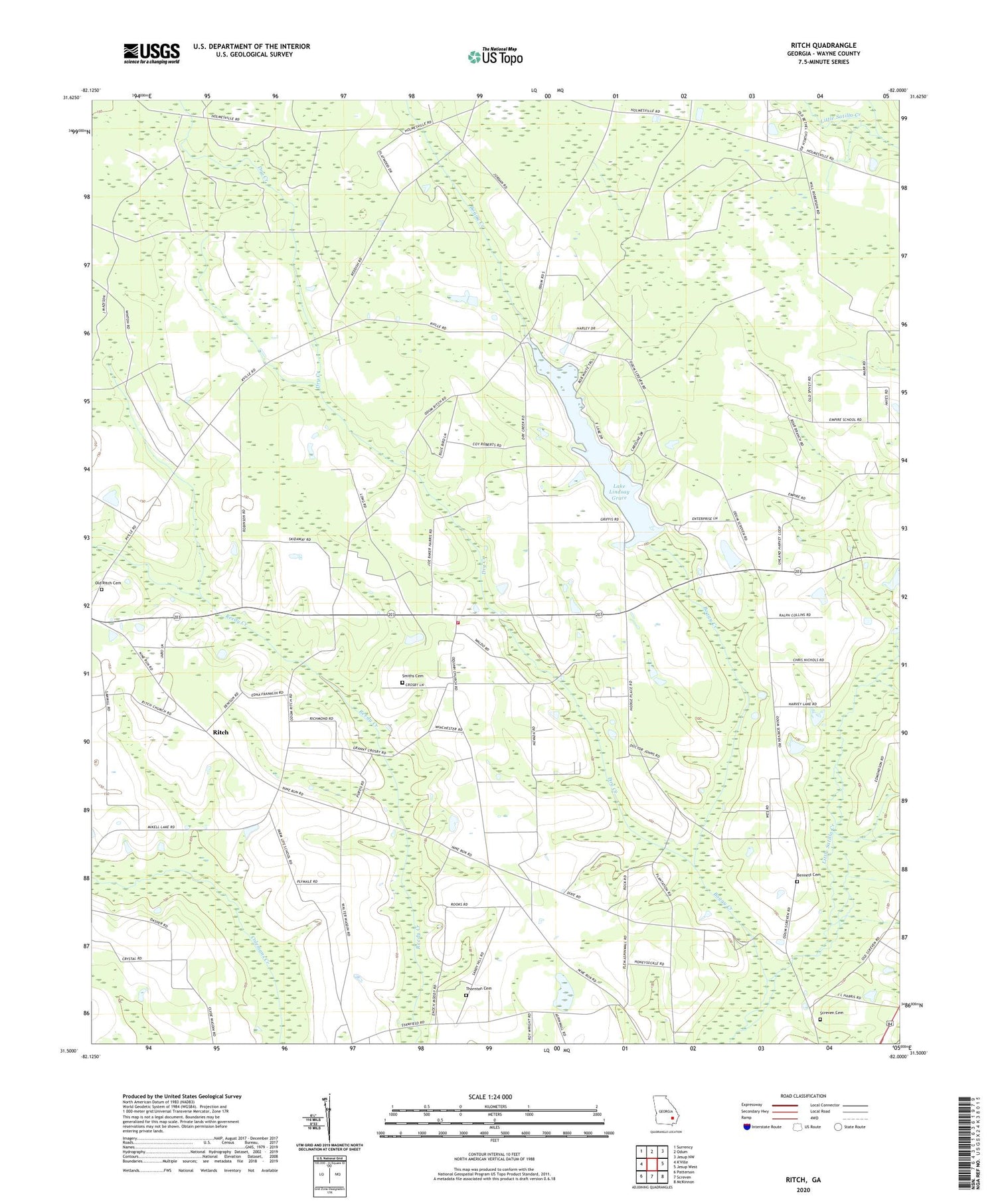
2024 topographic map quadrangle Ritch in the state of Georgia. Scale: 1:24000. Based on the newly updated USGS 7.5' US Topo map series, this map is in the following counties: Wayne. The map contains contour data, water features, and other items you are used to seeing on USGS maps, but also has updated roads and other features. This is the next generation of topographic maps. Printed on high-quality waterproof paper with UV fade-resistant inks.
Quads adjacent to this one:
Northwest: Surrency
North: Odum
Northeast: Jesup NW
East: Jesup West
Southeast: McKinnon
South: Screven
Southwest: Patterson
This map covers the same area as the classic USGS quad with code o31082e1.
Contains the following named places: Bennett Cemetery, Boggy Creek, Church of God, Dry Creek, Farm Life School, Lake Lindsay Grace, Liberty Church, Old Bethel Church, Old Ritch Cemetery, O'Quinn Church, Reddishville School, Ritch, Ritch Church, Screven Cemetery, Screven Church of God, Screven Division, Smiths Cemetery, Thornton Cemetery, Wayne County Fire Department O'Quinn Station, Wesley Church