MyTopo
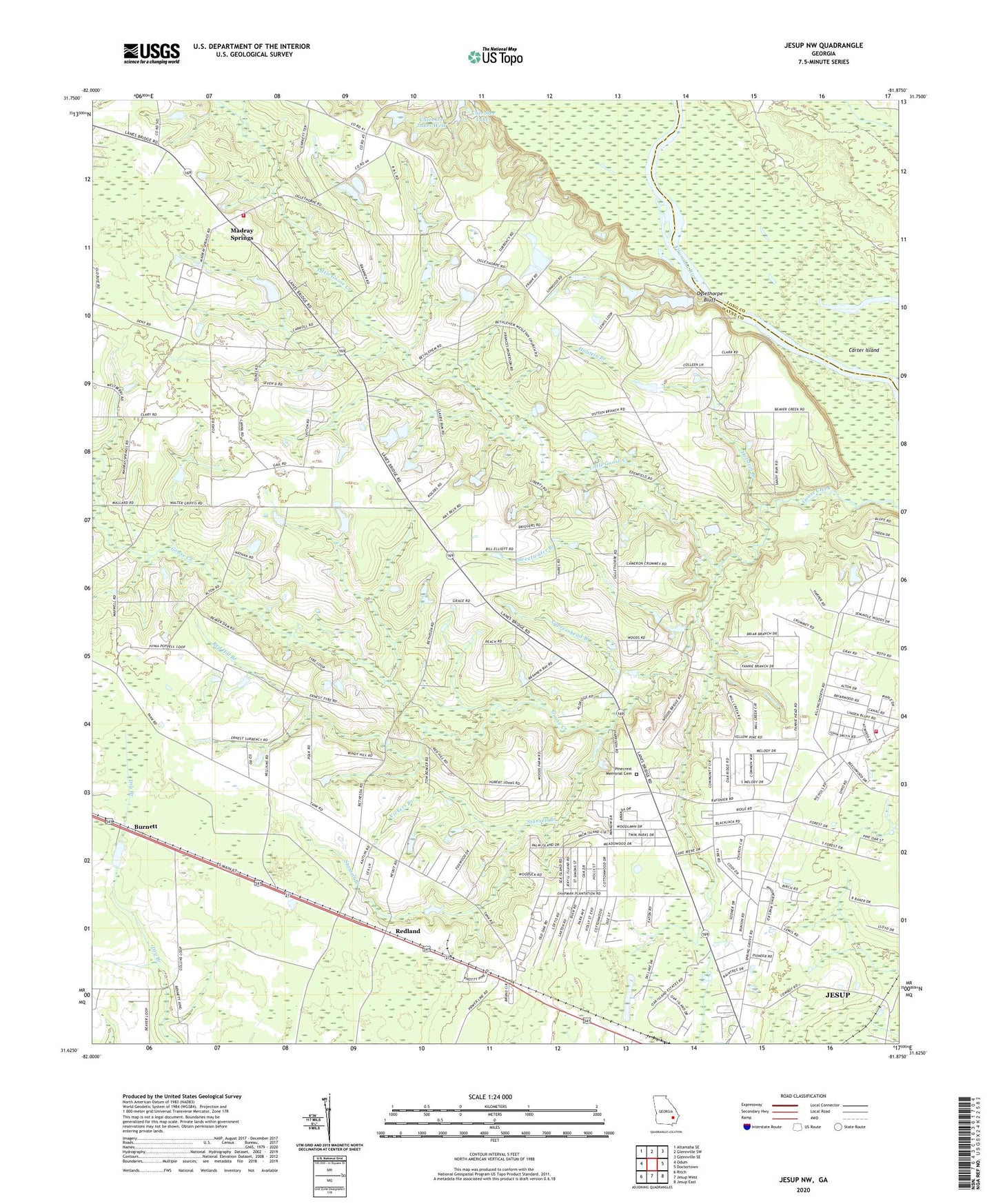
Jesup NW Georgia US Topo Map
Couldn't load pickup availability
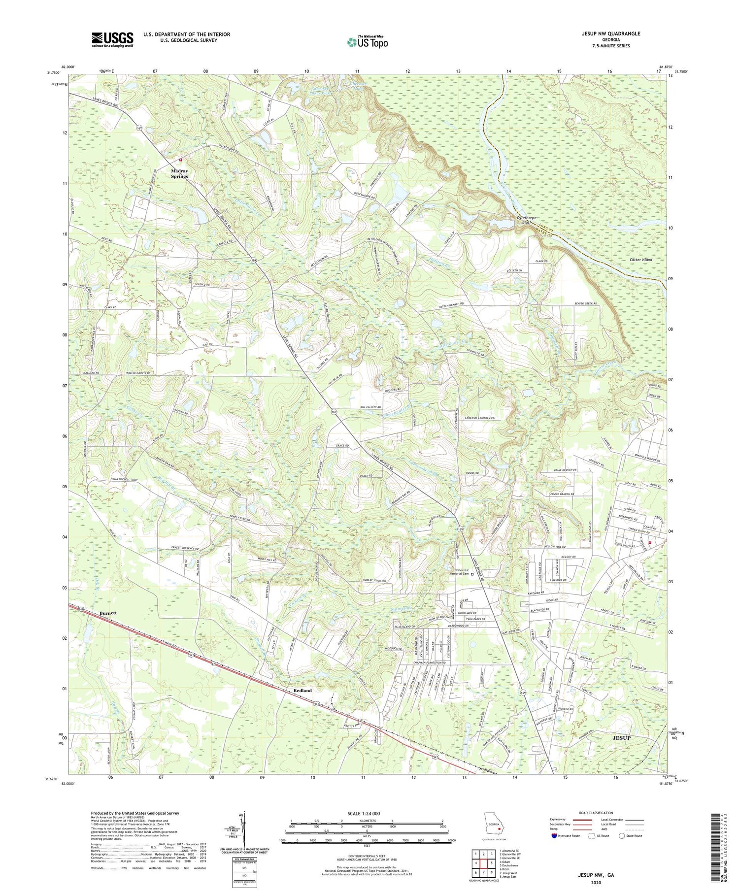
2024 topographic map quadrangle Jesup NW in the state of Georgia. Scale: 1:24000. Based on the newly updated USGS 7.5' US Topo map series, this map is in the following counties: Wayne, Long. The map contains contour data, water features, and other items you are used to seeing on USGS maps, but also has updated roads and other features. This is the next generation of topographic maps. Printed on high-quality waterproof paper with UV fade-resistant inks.
Quads adjacent to this one:
West: Odum
Northwest: Altamaha SE
North: Glennville SW
Northeast: Glennville SE
East: Doctortown
Southeast: Jesup East
South: Jesup West
Southwest: Ritch
This map covers the same area as the classic USGS quad with code o31081f8.
Contains the following named places: Altamaha Church, Anderson Drive Volunteer Fire Department, Bethesda Church, Bethlehem Wesleyan Church, Blanton Grove Church, Burnett, Carter Island, Cherokee Lakes West, Consolidated School, Crossroads Church of God, Cypresshead Branch, Drawdy, Holstein Branch, Hughes Old River, Little Goose Creek, Madray Spring School, Madray Springs, Oglethorpe Bluff, Oglethorpe Branch, Oglethorpe School, Pinecrest Memorial Cemetery, Red Hill Branch, Red Hill Church, Red Hill School, Redland, Spring Grove Church, Spring Grove School, Stansell Branch, Sweetwater Branch, Trinity Baptist Church, Vickers Branch, Wayne County Fire Department Madray Springs Station, ZIP Code: 31545