MyTopo
Royston Georgia US Topo Map
Couldn't load pickup availability
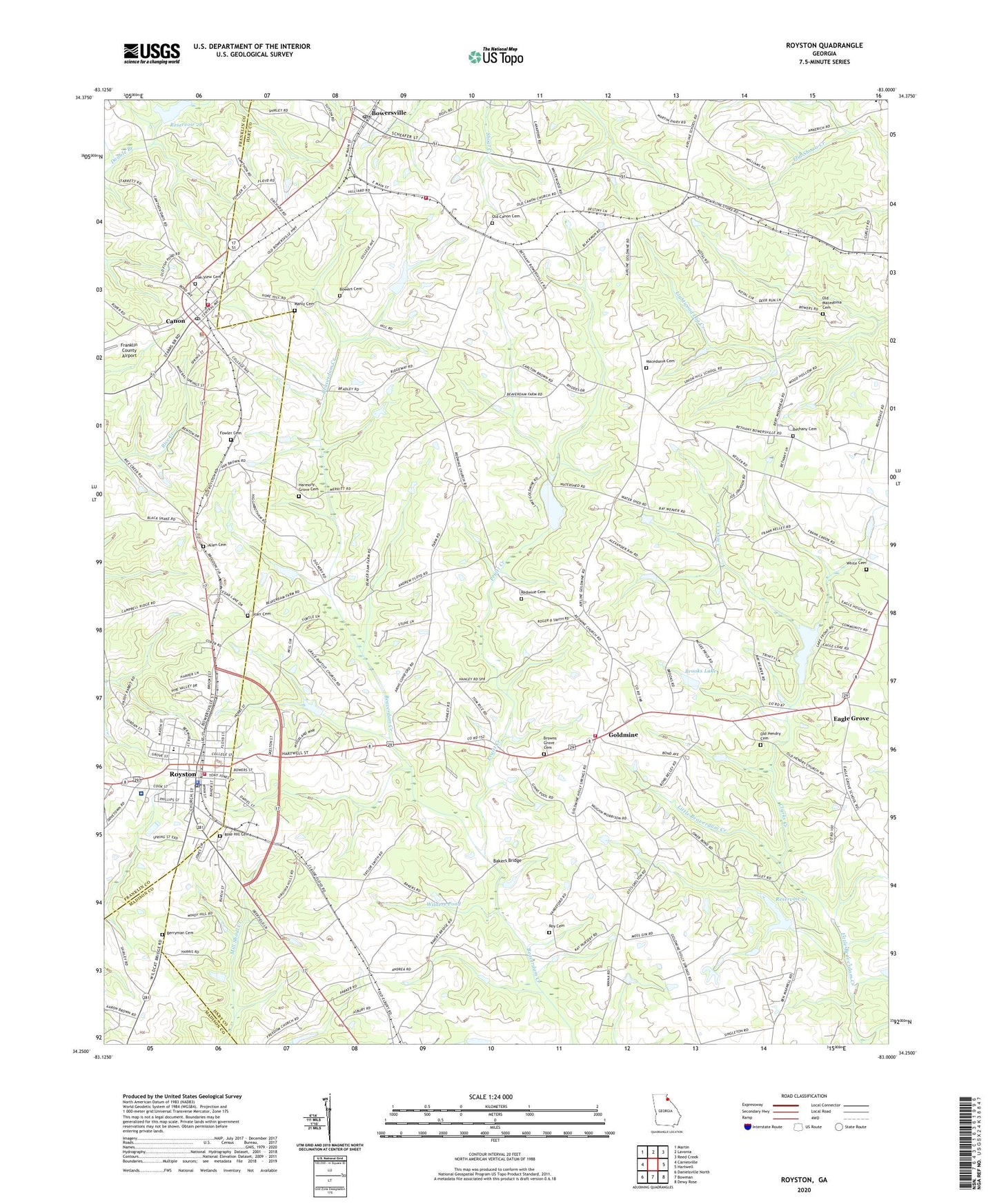
2024 topographic map quadrangle Royston in the state of Georgia. Scale: 1:24000. Based on the newly updated USGS 7.5' US Topo map series, this map is in the following counties: Hart, Franklin, Madison. The map contains contour data, water features, and other items you are used to seeing on USGS maps, but also has updated roads and other features. This is the next generation of topographic maps. Printed on high-quality waterproof paper with UV fade-resistant inks.
Quads adjacent to this one:
West: Carnesville
Northwest: Martin
North: Lavonia
Northeast: Reed Creek
East: Hartwell
Southeast: Dewy Rose
South: Bowman
Southwest: Danielsville North
This map covers the same area as the classic USGS quad with code o34083c1.
Contains the following named places: Air Line, Air Line Elementary School, Allen Cemetery, Bakers Bridge, Beaverdam Creek Structure Number 21 Dam, Beaverdam Creek Structure Number Six Dam, Beaverdam Creek Watershed Structure Number 17 Dam, Beaverdam Creek Watershed Structure Number Eight Dam, Berryman Cemetery, Bethany Cemetery, Bethany Church, Bowers Cemetery, Bowersville, Bowersville Historic District, Bowersville Post Office, Brooks Lake, Brooks Lake Dam, Brown Health Rehabilitation Hospital, Brown Hospital, Browns Grove Cemetery, Canon, Canon Commercial Historic District, Canon Police Department, Canon Post Office, Canon Volunteer Fire Department, Church of God, City of Canon, City of Royston, Clarks Creek, Cobb Memorial Hospital, Duncan School, Eagle Grove, Eagle Grove Census Designated Place, Eagle Grove Elementary School, Fowler Cemetery, Goldmine, Goldmine Church, Goldmine School, Grace Church, Gunnels Dam, Gunnels Lake, Harmony Grove Cemetery, Harmony Grove Church, Hart County Fire Department Station 3 Goldmine, Hart County Fire Department Station 5 Bowersville, Hendrys Baptist Church, Henrys Church Monument, Historic Churches of Canon Historic District, Holiness Church, Macedonia Cemetery, Macedonia Church, Manly Cemetery, North Broad River Structure Number 28 Dam, North Hart Elementary School, Oak View Cemetery, Old Canon Cemetery, Old Canon Church, Old Hendry Cemetery, Old Macedonia Cemetery, Pruitt Creek, Redwine Cemetery, Redwine Church, Reservoir 17, Reservoir 21, Reservoir 28, Reservoir Eight, Reservoir Six, Rice Creek Church, Ridgeway Hospital, Rose Hill Cemetery, Roy Cemetery, Royston, Royston Baptist Church, Royston City Jail, Royston Commercial Historic District, Royston Division, Royston Elementary School, Royston Fire Department, Royston Police Department, Royston Post Office, Starr Cemetery, Town of Bowersville, WBIC-AM (Royston), White Cemetery, Wilders Pond, WPUP-FM (Royston), ZIP Code: 30520