MyTopo
Sea Island Georgia US Topo Map
Couldn't load pickup availability
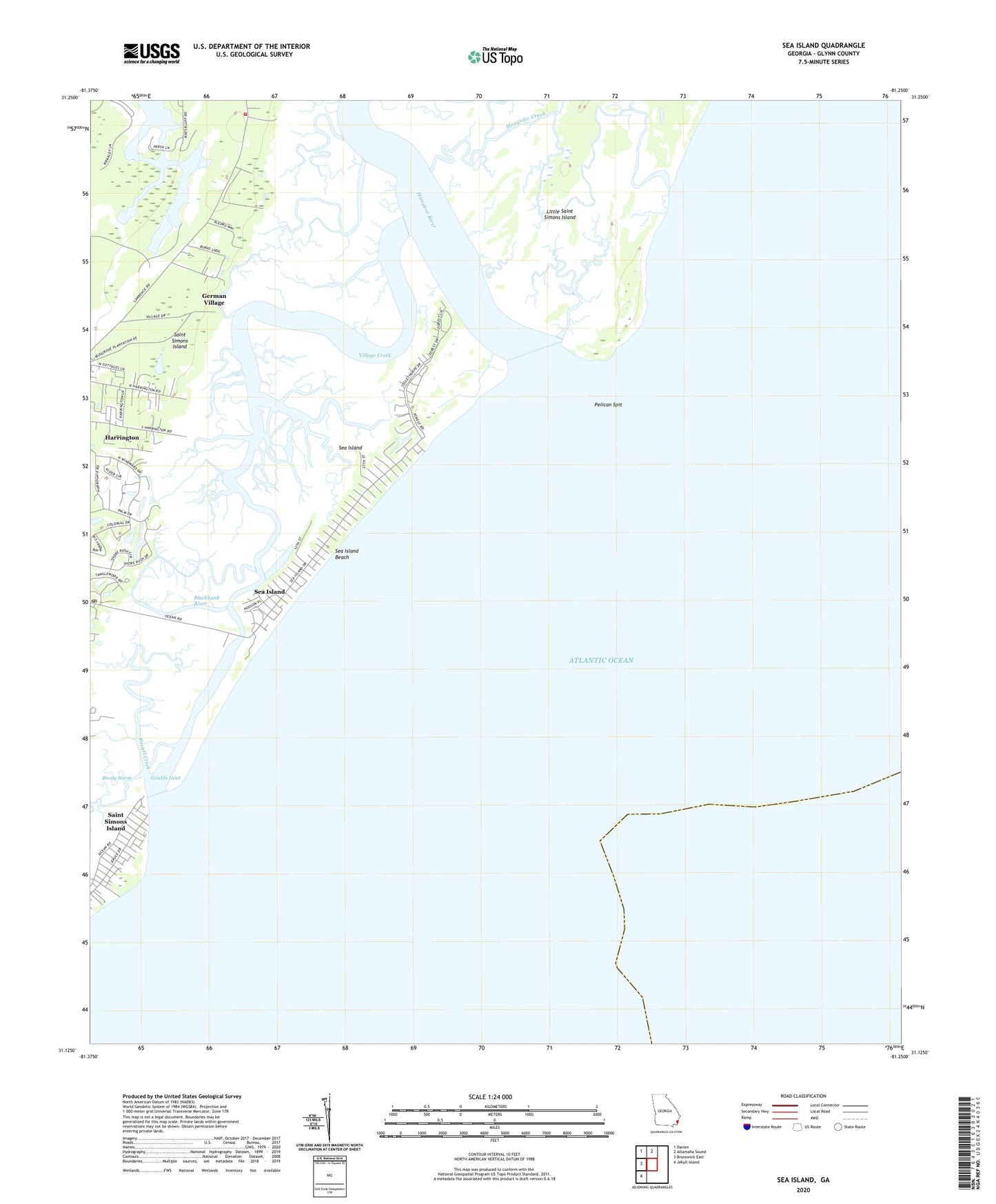
2024 topographic map quadrangle Sea Island in the state of Georgia. Scale: 1:24000. Based on the newly updated USGS 7.5' US Topo map series, this map is in the following counties: Glynn. The map contains contour data, water features, and other items you are used to seeing on USGS maps, but also has updated roads and other features. This is the next generation of topographic maps. Printed on high-quality waterproof paper with UV fade-resistant inks.
Quads adjacent to this one:
West: Brunswick East
Northwest: Darien
North: Altamaha Sound
Southwest: Jekyll Island
This map covers the same area as the classic USGS quad with code o31081b3.
Contains the following named places: Black Banks, Blackbank River, Bloody Marsh, German Village, German Village Plantation, Glynn County Fire Department Station 7, Glynn County Police Department Sea Island Substation, Goulds Inlet, Hampton River, Harrington, Mosquito Creek, Ocean Forest Golf Club, Pelican Spit, Postell Creek, Saint Simons Division, Saint Simons Island, Sea Island, Sea Island Beach, Sea Island Post Office, Sea Palms Golf Club, Village Bluff, Village Creek, ZIP Code: 31561