MyTopo
Jekyll Island Georgia US Topo Map
Couldn't load pickup availability
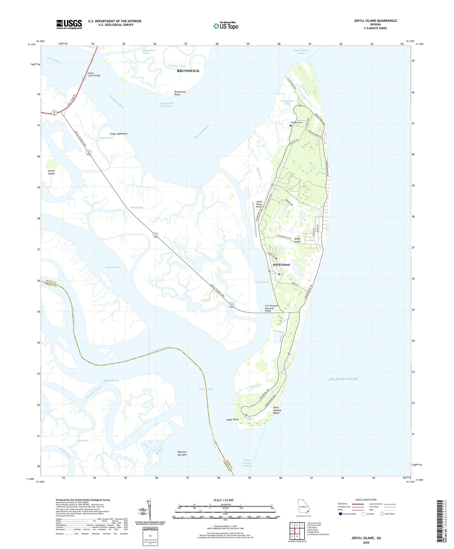
2024 topographic map quadrangle Jekyll Island in the state of Georgia. Scale: 1:24000. Based on the newly updated USGS 7.5' US Topo map series, this map is in the following counties: Glynn, Camden. The map contains contour data, water features, and other items you are used to seeing on USGS maps, but also has updated roads and other features. This is the next generation of topographic maps. Printed on high-quality waterproof paper with UV fade-resistant inks.
Quads adjacent to this one:
West: Dover Bluff
Northwest: Brunswick West
North: Brunswick East
Northeast: Sea Island
South: Cumberland Island North
Southwest: Kingsland NE
This map covers the same area as the classic USGS quad with code o31081a4.
Contains the following named places: Beach Creek, Beachside Shopping Center, Brunswick Point, Brunswick River, Cedar Creek, Cedar Hammock, Cherokee Campground, Clam Creek, Clam Creek Picnic Area, Cobb Creek, Dever Cut, Du Bianons Creek, DuBignon Cemetery, East River, Faith Chapel, Georgia State Patrol Troop I Post 35 Jekyll Island, Indian Mound Golf Club, Jekyll Convention Center, Jekyll Creek, Jekyll Harbor, Jekyll Island, Jekyll Island Airport, Jekyll Island Census Designated Place, Jekyll Island Division, Jekyll Island Fire Department, Jekyll Island Golf Club, Jekyll Island Museum, Jekyll Island New Post Office, Jekyll Island Plaza Shopping Center, Jekyll Island State Park Authority, Jekyll Island Water Pollution Control Plant, Jekyll Point, Jekyll Sound, Jekyll Wharf Marina, Jointer Creek, Latham River, Little Satilla River, M E Thompson Memorial Bridge, Mud River, Parsons Creek, Raccoon Key Spit, Saint Andrew Beach, Saint Andrews Picnic Area, Salt Pot Creek, Sidney Lanier Bridge, Turtle River, Umbrella Creek, Umbrella Cut, ZIP Code: 31527


