MyTopo
Sylvania South Georgia US Topo Map
Couldn't load pickup availability
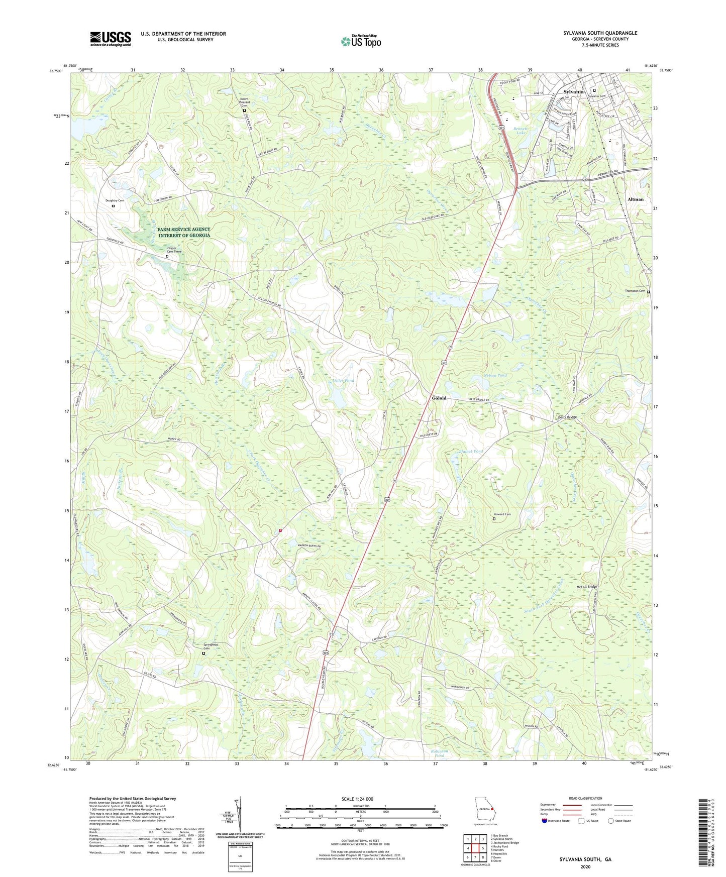
2024 topographic map quadrangle Sylvania South in the state of Georgia. Scale: 1:24000. Based on the newly updated USGS 7.5' US Topo map series, this map is in the following counties: Screven. The map contains contour data, water features, and other items you are used to seeing on USGS maps, but also has updated roads and other features. This is the next generation of topographic maps. Printed on high-quality waterproof paper with UV fade-resistant inks.
Quads adjacent to this one:
West: Rocky Ford
Northwest: Bay Branch
North: Sylvania North
Northeast: Jacksonboro Bridge
East: Hunters
Southeast: Oliver
South: Dover
Southwest: Hopeulikit
This map covers the same area as the classic USGS quad with code o32081f6.
Contains the following named places: Altman, Arnett School, Bennett Lake, Bennett Lake Dam, Benton Grove Church, Bests Bridge, Bethel African Methodist Episcopal Church, Bible Church, Blalock Pond, Blalock Pond Dam, Carter Branch, Central Middle School, City of Sylvania, Double Heads, Double Heads Church, Doughtry Cemetery, First Baptist Church, Free Will Church, Freemam Pond, Freeman Pond Dam, Georgia State Patrol Troop F Post 21 Sylvania, Gilgal School, Goloid, Goloid Church, Goloid School, Great Bethel African Methodist Episcopal Church, Harwell School, Hen Coop Branch, Howard Cemetery, Lee Pond, McCall Bridge, Memorial Church, Miller Pond, Miller Pond Dam, Mount Pleasant Cemetery, Nelson Pond, Nelson Pond Dam, Ogeechee Church, Robinson Pond Dam, Rocky Ford Division, Saint Paul Baptist Church, Screven County Elementary School, Screven County Fire Department Station 2, Screven County High School, South Fork Ogeechee Creek, Springhead Cemetery, Springhead Church, Sylvania Cemetery, Sylvania Elementary School, Thompson Cemetery, Zeigler Cemetery Three