MyTopo
Tignall Georgia US Topo Map
Couldn't load pickup availability
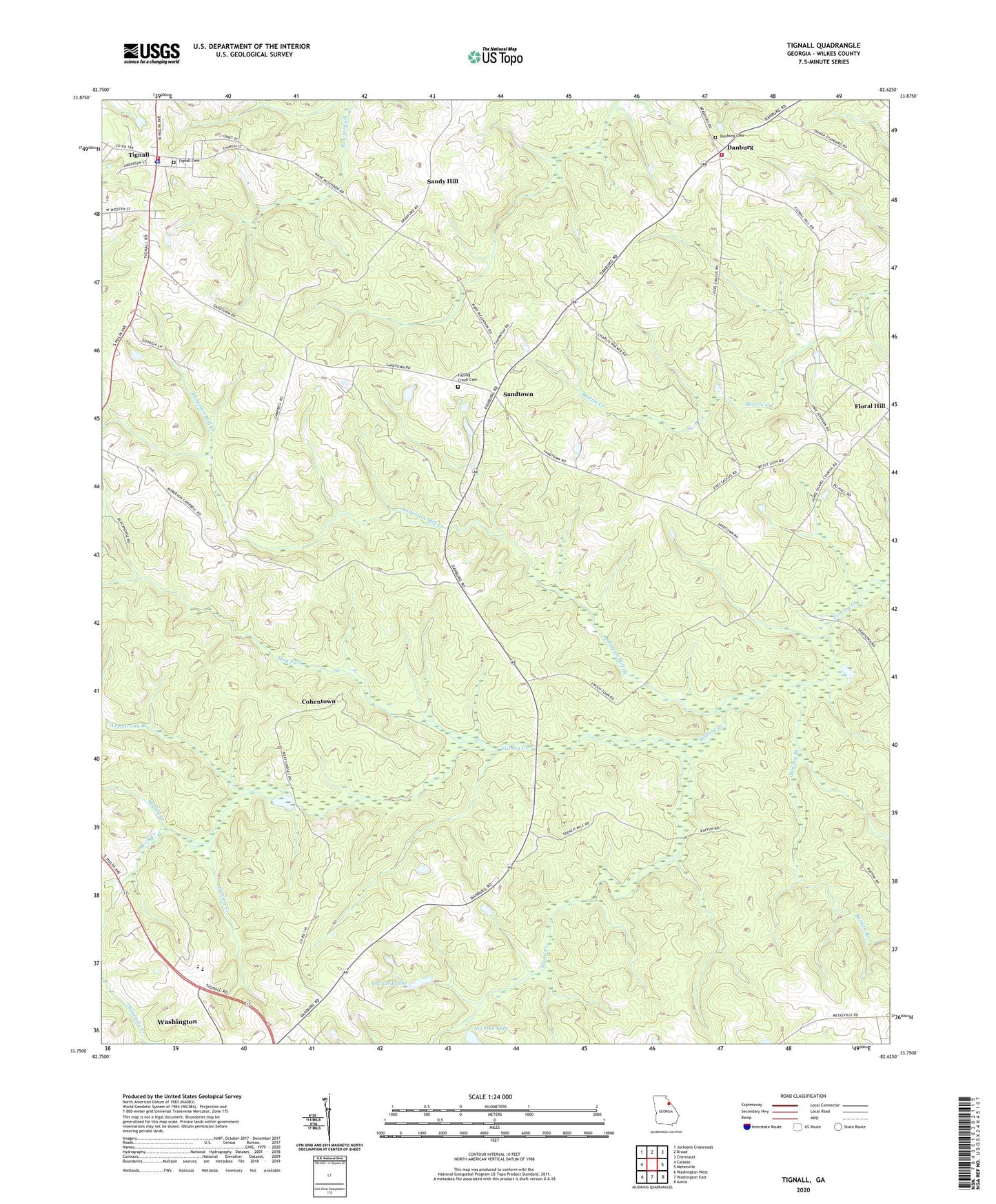
2024 topographic map quadrangle Tignall in the state of Georgia. Scale: 1:24000. Based on the newly updated USGS 7.5' US Topo map series, this map is in the following counties: Wilkes. The map contains contour data, water features, and other items you are used to seeing on USGS maps, but also has updated roads and other features. This is the next generation of topographic maps. Printed on high-quality waterproof paper with UV fade-resistant inks.
Quads adjacent to this one:
West: Celeste
Northwest: Jacksons Crossroads
North: Broad
Northeast: Chennault
East: Metasville
Southeast: Aonia
South: Washington East
Southwest: Washington West
This map covers the same area as the classic USGS quad with code o33082g6.
Contains the following named places: Anderson Mill Creek, Armstrong Branch, Benson Branch, Cherry Grove Church, Cherry Grove School, Cohentown, Danburg, Danburg Cemetery, Danburg Church, Danburg School, Danburg Volunteer Fire Department, Fishing Creek Cemetery, Fishing Creek Church, Floral Hill, Garrard Dam, Garrard Lake, Hog Fork, Independence Cemetery, Middle Creek, Mulberry Church, Mulberry School, Norman Lake Dam, Possie, Reeves Chapel, Reeves Chapel School, Rock Creek, Rosenwald High School, Sandtown, Sandy Hill, Threemile Creek, Tignall, Tignall Cemetery, Tignall Fire Department, Tignall Police Department, Tignall Post Office, Town of Tignall, Wilkes County, Wynn Creek