MyTopo
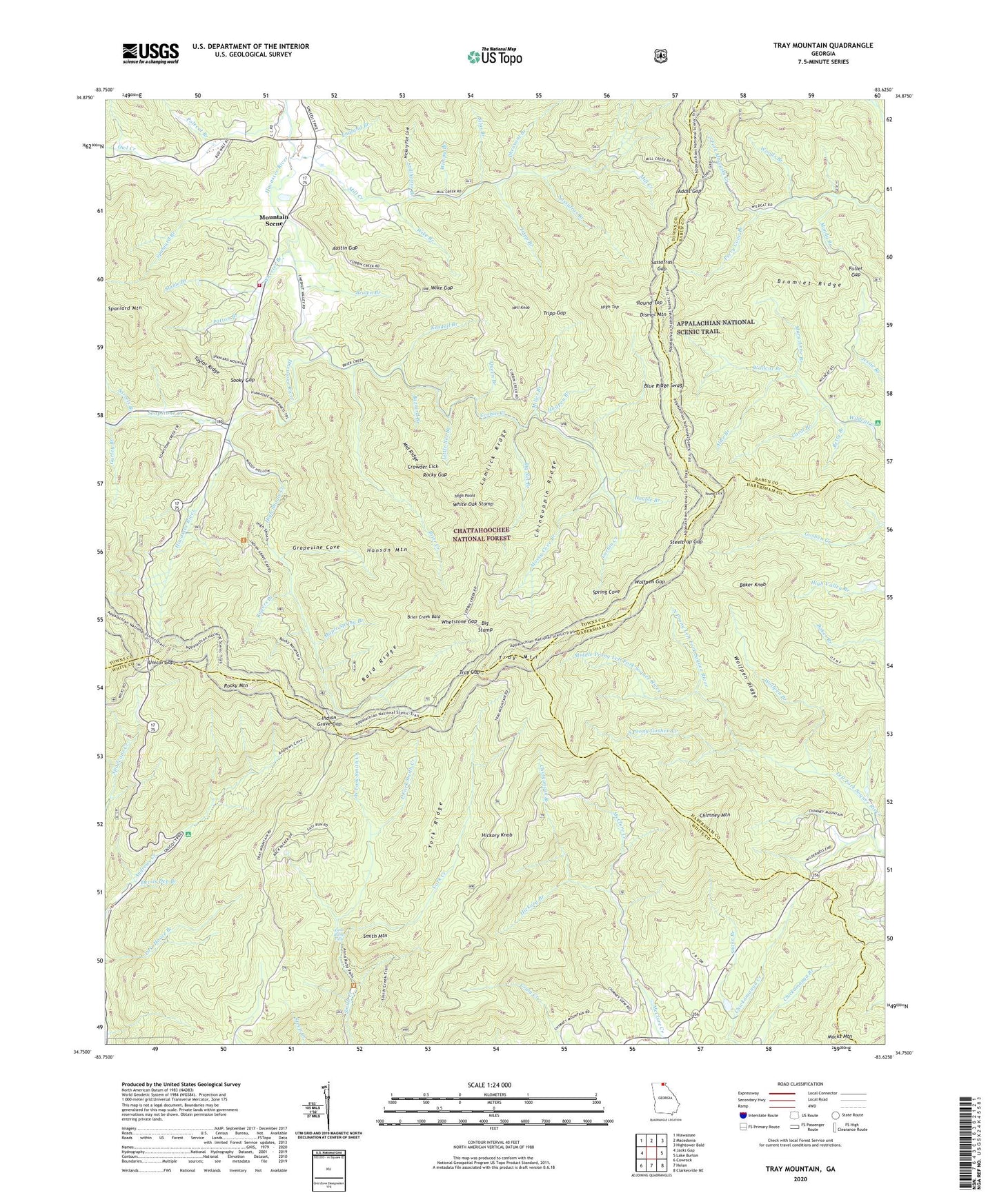
Tray Mountain Georgia US Topo Map
Couldn't load pickup availability
Also explore the Tray Mountain Forest Service Topo of this same quad for updated USFS data
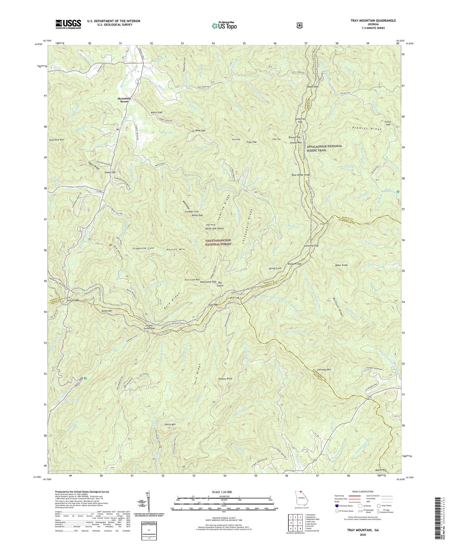
2024 topographic map quadrangle Tray Mountain in the state of Georgia. Scale: 1:24000. Based on the newly updated USGS 7.5' US Topo map series, this map is in the following counties: Towns, White, Habersham, Rabun. The map contains contour data, water features, and other items you are used to seeing on USGS maps, but also has updated roads and other features. This is the next generation of topographic maps. Printed on high-quality waterproof paper with UV fade-resistant inks.
Quads adjacent to this one:
West: Jacks Gap
Northwest: Hiawassee
North: Macedonia
Northeast: Hightower Bald
East: Lake Burton
Southeast: Clarkesville NE
South: Helen
Southwest: Cowrock
This map covers the same area as the classic USGS quad with code o34083g6.
Contains the following named places: Addis Gap, Alice Branch, Andrews Cove Campground, Anna Ruby Campground, Anna Ruby Falls, Anna Ruby Falls Scenic Area, Austin Gap, Baker Knob, Bald Ridge, Beegum Branch, Betty Branch, Big Net Branch, Big Stamp, Blue Ridge Swag, Bramlet Ridge, Brier Creek, Brier Creek Bald, Brown Branch, Buzzard Branch, Carol Branch, Chastain Creek, Chimney Mountain, Chinquapin Branch, Chinquapin Ridge, Corbin Creek, Crowder Lick, Department of Natural Resources Work Center, Devils Den Branch, Dismal Mountain, Double Branch, East Fork Smith Creek, England Branch, Fuller Gap, Grapevine Cove, Gurley Branch, Hanson Mountain, Hickory Branch, Hickory Flat Cove, Hickory Knob, Hickorynut Ridge, High Point, High Shoals Creek, High Shoals Falls Scenic Area, High Top, High Valley Boys Club, Hogpen Branch, Indian Grave Gap, Jake Branch, Kendall Branch, Little Net Branch, Lumlick Ridge, Macedonia Division, Macks Mountain, Mandy Branch, Maple Spring Branch, Mary Anne Branch, Middle Prong Left Fork Soquee River, Middle Ridge, Mill Creek, Mill Creek Roughs, Miller Branch, Mossy Cove Branch, Mount Zion Church, Mountain Scene, Nell Knob, North Prong Left Fork Soquee River, Owl Creek, Patton Branch, Perry Cove Branch, Pheasant Branch, Polecat Branch, Queen Branch, Rocky Gap, Rocky Mountain, Rogers Branch, Round Top, Sassafras Branch, Sassafras Gap, Silas Branch, Smith Mountain, Snake Branch, Soapstone Creek, Sooky Gap, Sorrels Branch, South Prong Goshen Creek, Spaniard Branch, Spring Cove, Stable Branch, Steeltrap Gap, Stillhouse Branch, Swallow Creek Wildlife Management Area, Taylor Ridge, Towns County Fire and Rescue Station 5, Tray Gap, Tray Mountain, Tray Mountain Wilderness, Tripp Branch, Tripp Gap, Unicoi Gap, West Fork Smith Creek, Wheeler Branch, Whetstone Gap, White Oak Stamp, Wike Branch, Wike Gap, Wildcat Branch, Wimpy Branch, Wolfpen Branch, Wolfpen Gap, Wolfpen Ridge, Woods Branch, York Creek, York Ridge, Young Lick


