MyTopo
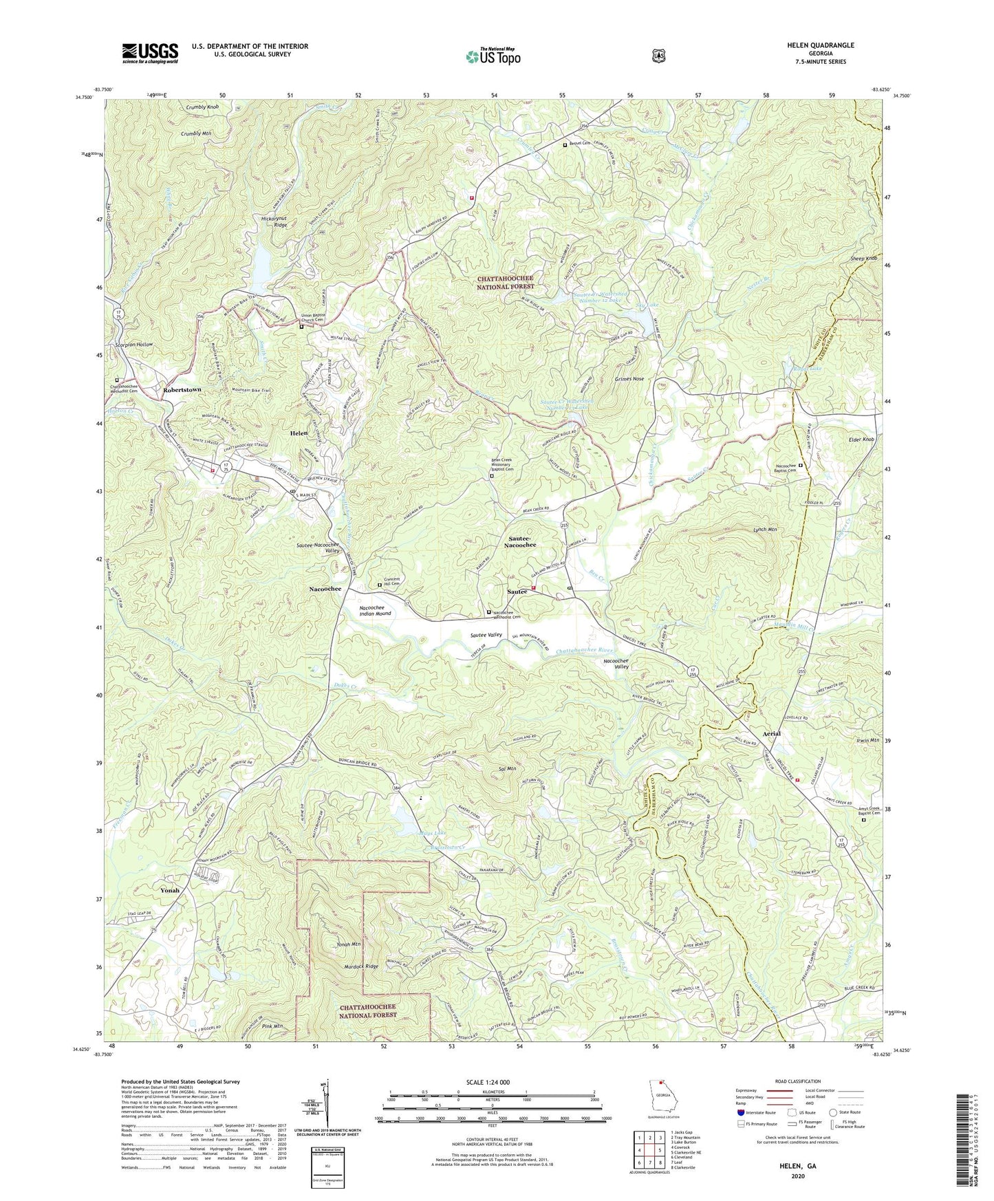
Helen Georgia US Topo Map
Couldn't load pickup availability
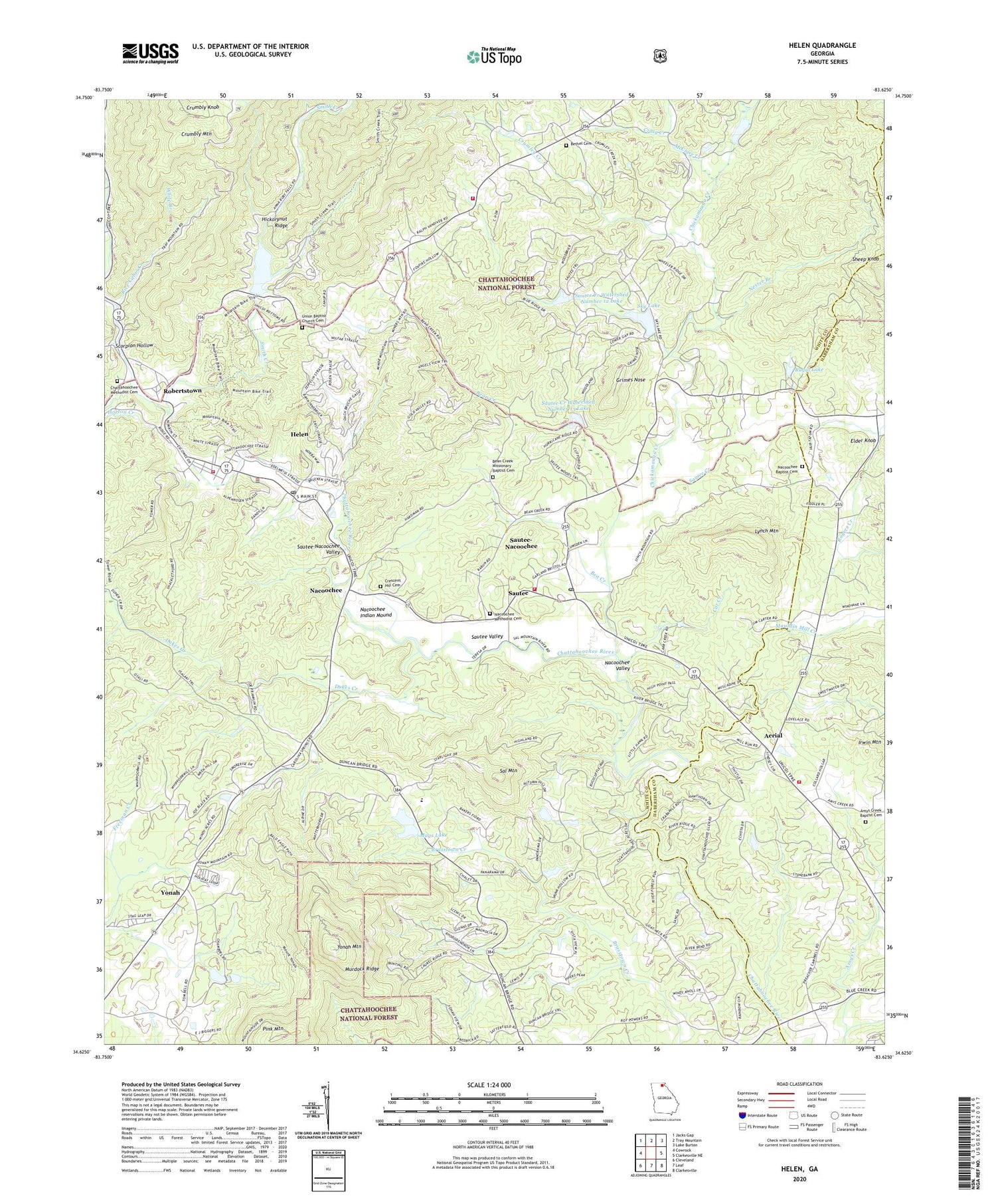
Also explore the Helen Forest Service Topo of this same quad for updated USFS data
2024 topographic map quadrangle Helen in the state of Georgia. Scale: 1:24000. Based on the newly updated USGS 7.5' US Topo map series, this map is in the following counties: White, Habersham. The map contains contour data, water features, and other items you are used to seeing on USGS maps, but also has updated roads and other features. This is the next generation of topographic maps. Printed on high-quality waterproof paper with UV fade-resistant inks.
Quads adjacent to this one:
West: Cowrock
Northwest: Jacks Gap
North: Tray Mountain
Northeast: Lake Burton
East: Clarkesville NE
Southeast: Clarkesville
South: Leaf
Southwest: Cleveland
This map covers the same area as the classic USGS quad with code o34083f6.
Contains the following named places: Aerial, Aerial School, Amys Creek Baptist Cemetery, Amys Creek Church, Bean Creek, Bean Creek Church, Bean Creek Missionary Baptist Cemetery, Ben Creek, Bethel Cemetery, Bethel Church, Car Creek, Center Church, Chambers Lake, Chambers Lake Dam, Chattahoochee Methodist Cemetery, Chattahoochee Methodist Church, Chickamauga Branch, Chickamauga Creek, Childs Mine, Church Branch, City of Helen, Community Church, Craig Creek, Crescent Hill Cemetery, Cresecent Hill Church, Crumbly Knob, Crumbly Mountain, Crumley Creek, Dukes Creek, Elder Knob, Grimes Nose, Habersham County Fire Department Station 16, Helen, Helen Division, Helen Fire Department, Helen Police Department, Helen Post Office, Helen School, Horton Creek, Lot Ten Mine, Lynch, Lynch Mountain, Mauldin Mill Creek, Mauldins, Mays Lake, Mays Lake Dam, McClure Creek, Mount Yonah Elementary School, Murdock Ridge, Nacoochee, Nacoochee Baptist Cemetery, Nacoochee Baptist Church, Nacoochee Census Designated Place, Nacoochee Church, Nacoochee Indian Mound, Nacoochee Methodist Cemetery, Nacoochee Valley, Naguchee, Nester Branch, Pink Mountain, Resurrection Episcopal Church, Rice Cabin Creek, Robertstown, Robertstown School, Rogers Creek, Royal Lake, Royal Lake Dam, Sal Mountain, Sal Mountain Chapel, Sautee, Sautee Census Designated Place, Sautee Creek, Sautee Creek Watershed Number 12 Dam, Sautee Creek Watershed Number 12 Lake, Sautee Creek Watershed Number 13 Dam, Sautee Creek Watershed Number 13 Lake, Sautee Nacoochee Post Office, Sautee Valley Historic District, Sautee Watershed Number 10 Dam, Sautee Watershed Number 10 Lake, Sautee-Nacoochee Census Designated Place, Scorpion Hollow, Sheep Knob, Sky Lake, Sky Lake Dam, Smith Creek, Spoilcane Creek, Steep Creek, Unicoi Lake, Unicoi State Park, Unicoi State Park Lake Dam, Union Baptist Church Cemetery, Union Church, Union Grove Chapel, White Branch, White Church, White County, White County Fire Department Station 3, White County Fire Department Station 7, White County Fire Department Station 8, White County Mine, Yonah Census Designated Place, Yonah Mountain, Yonah Mountain Lookout Tower, ZIP Code: 30571