MyTopo
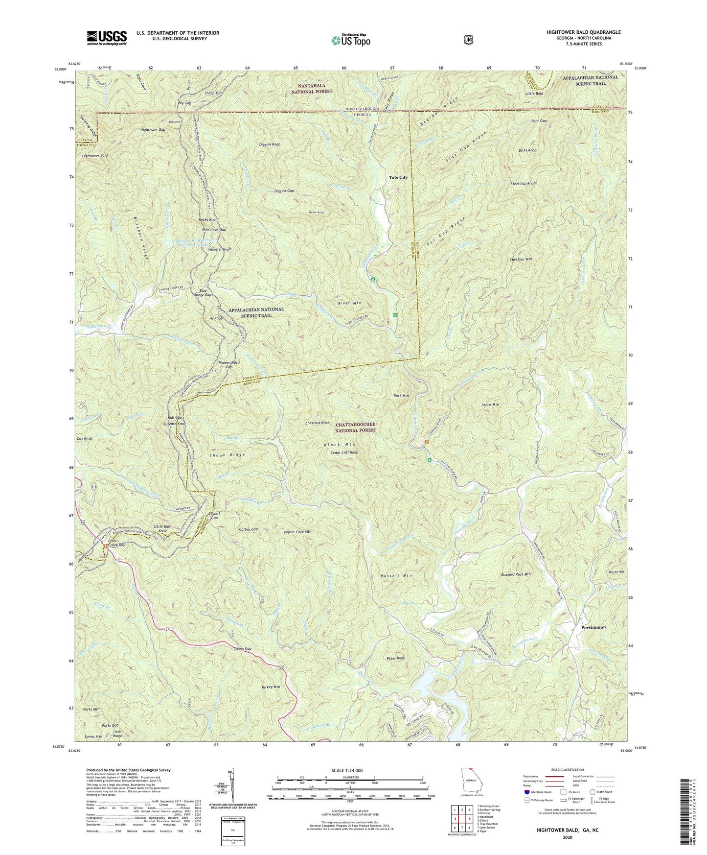
Hightower Bald Georgia US Topo Map
Couldn't load pickup availability
Also explore the Hightower Bald Forest Service Topo of this same quad for updated USFS data
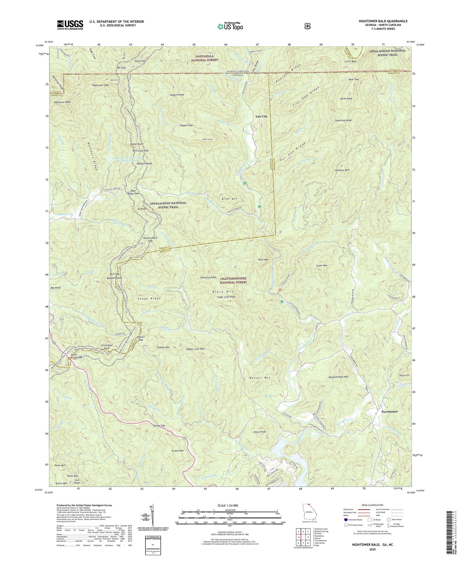
2024 topographic map quadrangle Hightower Bald in the states of Georgia, North Carolina. Scale: 1:24000. Based on the newly updated USGS 7.5' US Topo map series, this map is in the following counties: Rabun, Towns, Clay, Macon. The map contains contour data, water features, and other items you are used to seeing on USGS maps, but also has updated roads and other features. This is the next generation of topographic maps. Printed on high-quality waterproof paper with UV fade-resistant inks.
Quads adjacent to this one:
West: Macedonia
Northwest: Shooting Creek
North: Rainbow Springs
Northeast: Prentiss
East: Dillard
Southeast: Tiger
South: Lake Burton
Southwest: Tray Mountain
Contains the following named places: As Knob, Bear Gap, Bearpen Ridge, Beech Creek, Big Branch, Big John Creek, Black Mountain, Blalock, Blue Ridge Gap, Bly Gap, Buckhorn Ridge, Bull Branch, Bull Gap, Burnt Cabin Branch, Buzzard Knob, Buzzard Rock Mountain, Carter Branch, Cedar Cliff Knob, Charlies Creek, Chestnut Knob, Chestnut Mountain, Coffee Gap, Coleman River, Coleman River Scenic Area, Cow Branch, Cowart Gap, Denton Creek, Dickenson Branch, Dicks Creek Gap, Dicks Creek Gap Recreation Site, Dicks Knob, Diggins Gap, Diggins Knob, Fall Branch, Firescald Branch, Flat Branch, Flat Gap Ridge, Hannah Branch, Hightower Bald, Hightower Creek Watershed Number 13 Dam, Hightower Creek Watershed Number 13 Lake, Hightower Gap, Holden Branch, Jack Branch, King Chapel, Little Bald, Little Bald Knob, Little Persimmon Creek, Louing Creek, Mill Creek, Montgomery Corner, Newt Knob, Nicholson Branch, Parks Gap, Parks Mountain, Permisson Valley Campground, Persimmon, Persimmon Baptist Church, Persimmon Creek, Peter Knob, Pleasant Hill School, Plumorchard Church, Plumorchard Creek, Plumorchard Gap, Plumorchard Gap Shelter, Popcorn Creek, Poplar Cove Mountain, Poplar Springs Roadside Campground, Pot Gap Ridge, Potato Hill, Racepath Branch, Rich Cove Gap, Rich Knob, Ridgepole Creek, River Mountain, Rock Mountain, Rocky Knob, Russell Mountain, Sassafras Branch, Sautee Branch, Sharp Top, Sharptop Ridge, Shoal Branch, Shoal Branch Watershed Number 11 Dam, Shoal Branch Watershed Number 11 Lake, Shook Branch, Shook Ridge, Southern Nantahala Wilderness, Steeltrap Knob, Straw Mountain, Tallulah River Campground, Tate Branch, Tate Branch Campground, Tate City, Tate City Census Designated Place, Tate City School, Thirty Mile Post, Towns Mountain, Turkey Gap, Turkey Mountain, Wheeler Knob, York Branch


