MyTopo
Mauna Kea Hawaii US Topo Map
Couldn't load pickup availability
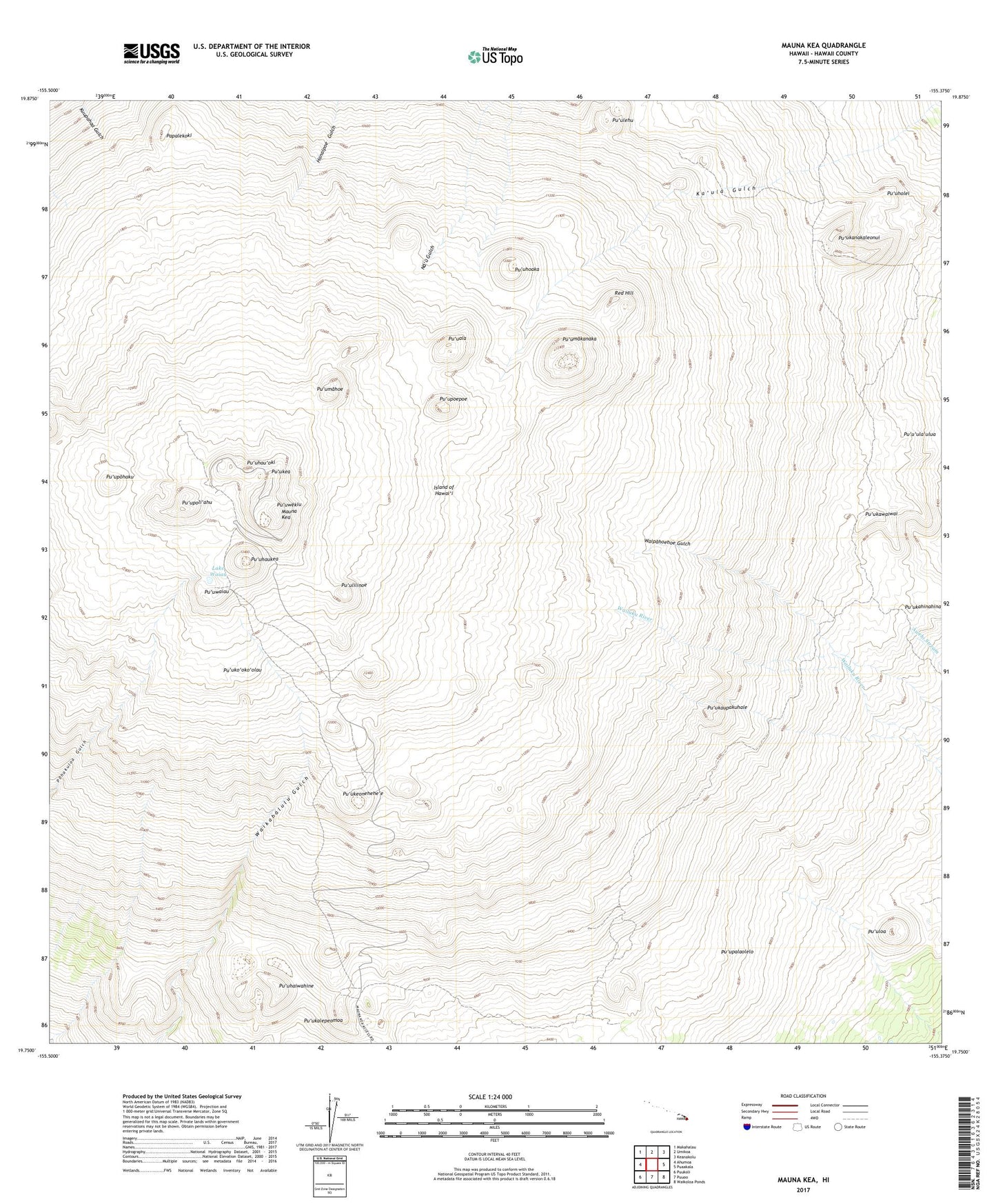
2024 topographic map quadrangle Mauna Kea in the state of Hawaii. Scale: 1:24000. Based on the newly updated USGS 7.5' US Topo map series, this map is in the following counties: Hawaii. The map contains contour data, water features, and other items you are used to seeing on USGS maps, but also has updated roads and other features. This is the next generation of topographic maps. Printed on high-quality waterproof paper with UV fade-resistant inks.
Quads adjacent to this one:
West: Ahumoa
Northwest: Makahalau
North: Umikoa
Northeast: Keanakolu
East: Puaakala
Southeast: Waikoloa Ponds
South: Puuoo
Southwest: Puukoli
This map covers the same area as the classic USGS quad with code o19155g4.
Contains the following named places: Hale Pohaku Ranger Station, Humu'ula Hawaiian Home Land, Kaaliali Trail, Kahinahina Forest Cabin, Kahinahina Trail, Keanakako'i, Kilohana, Lake Waiau, Mauna Kea, Mauna Kea Forest Reserve, Mauna Kea Ice Age Natural Area Reserve, Mauna Kea Observatories, Mauna Kea State Park - Halepohaku Area, Mauna Kea Umikoa Trail, Mauna Kea-Humu'ula Trail, Papalekoki, Pu'uala, Pu'uhaiwahine, Pu'uhaukea, Pu'uhau'oki, Pu'uhoaka, Pu'uholei, Pu'ukahinahina, Pu'ukalepeamoa, Pu'ukanakaleonui, Pu'ukaupakuhale, Pu'ukawaiwai, Pu'ukea, Pu'ukeonehehe'e, Pu'uko'oko'olau, Pu'ulehu, Pu'ulilinoe, Pu'uloa, Pu'umahoe, Pu'umakanaka, Pu'upalaolelo, Pu'upoepoe, Pu'upohaku, Pu'upoli'ahu, Pu'u'ula'ulua, Pu'uwaiau, Pu'uwekiu, Red Hill