
MyTopo
Naohuleelua Hawaii US Topo Map
Couldn't load pickup availability
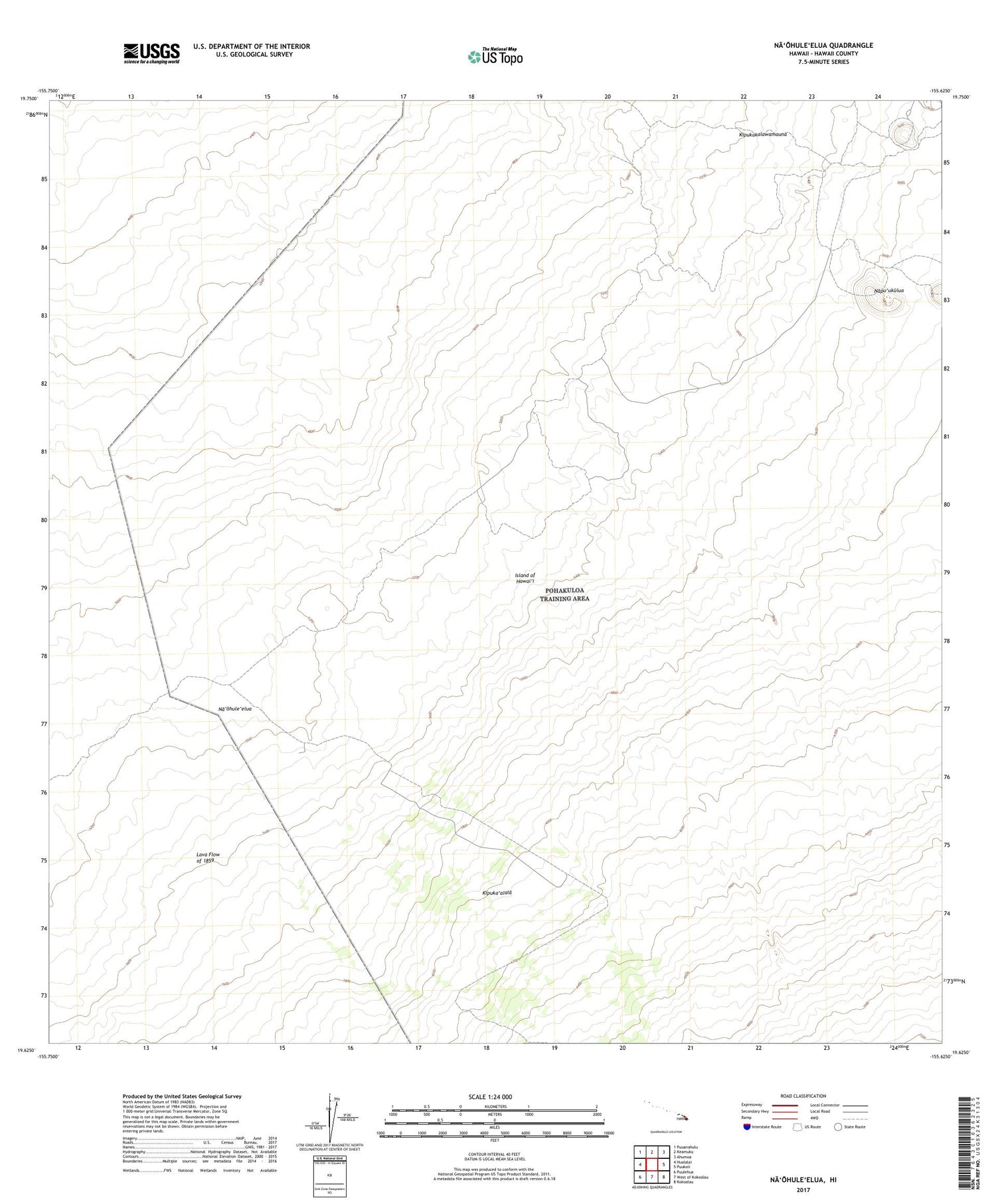
2024 topographic map quadrangle Naohuleelua in the state of Hawaii. Scale: 1:24000. Based on the newly updated USGS 7.5' US Topo map series, this map is in the following counties: Hawaii. The map contains contour data, water features, and other items you are used to seeing on USGS maps, but also has updated roads and other features. This is the next generation of topographic maps. Printed on high-quality waterproof paper with UV fade-resistant inks.
Quads adjacent to this one:
West: Hualalai
Northwest: Puuanahulu
North: Keamuku
Northeast: Ahumoa
East: Puukoli
Southeast: Kokoolau
South: West of Kokoolau
Southwest: Puulehua
Contains the following named places: Kipuka'alala, Lava Flow of 1859, Na'ohule'elua, Napu'ukulua


