MyTopo
Balanced Rock Idaho US Topo Map
Couldn't load pickup availability
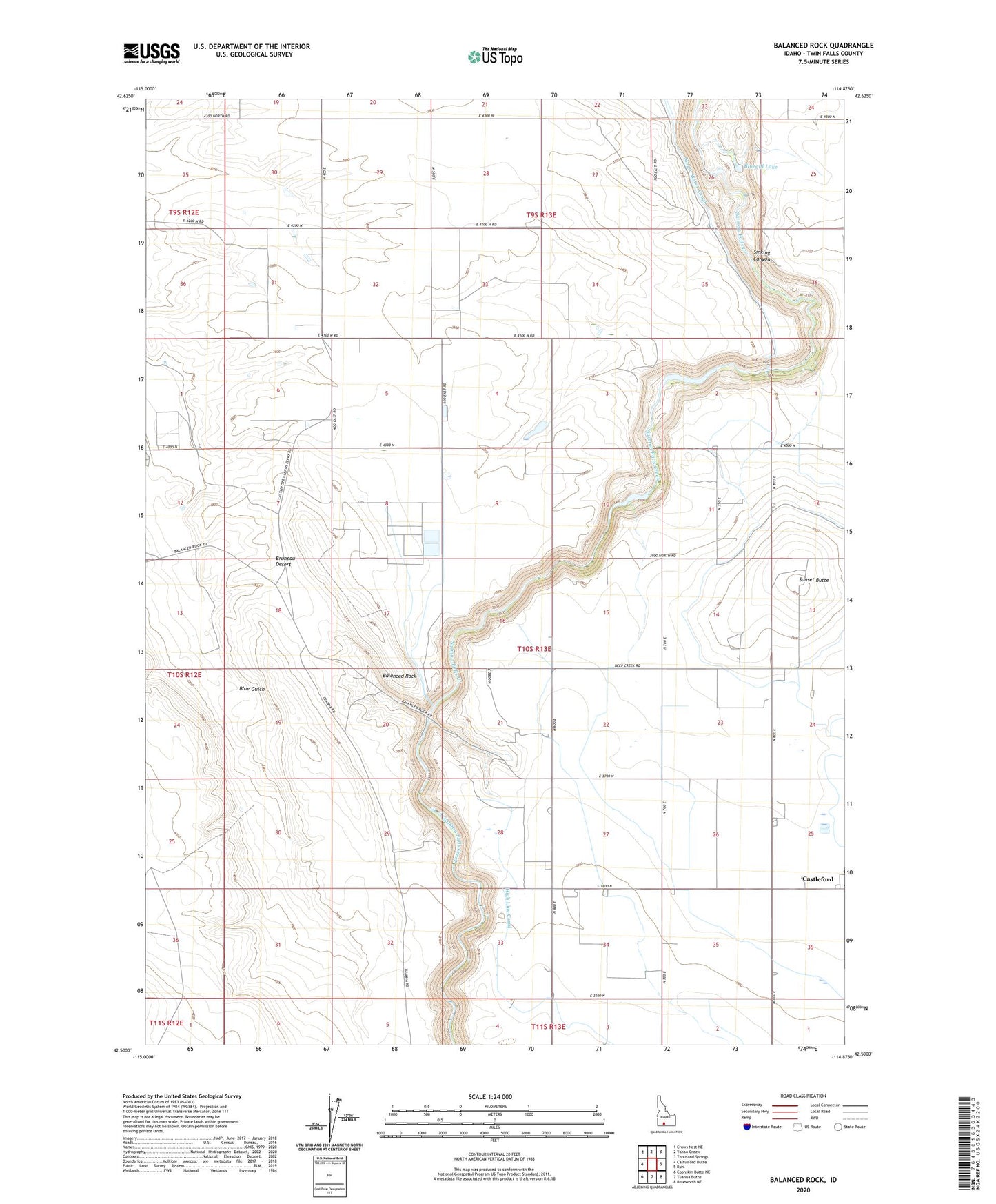
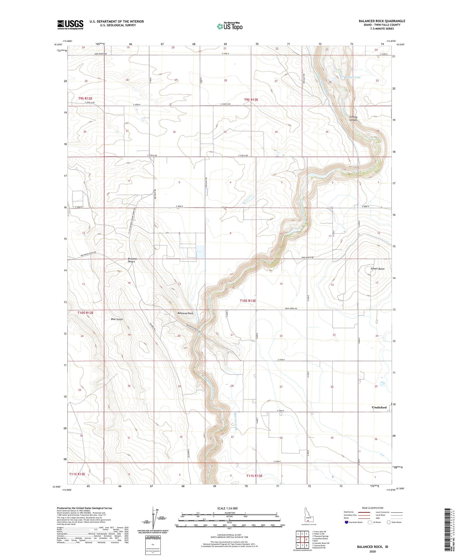
2024 topographic map quadrangle Balanced Rock in the state of Idaho. Scale: 1:24000. Based on the newly updated USGS 7.5' US Topo map series, this map is in the following counties: Twin Falls. The map contains contour data, water features, and other items you are used to seeing on USGS maps, but also has updated roads and other features. This is the next generation of topographic maps. Printed on high-quality waterproof paper with UV fade-resistant inks.
Quads adjacent to this one:
West: Castleford Butte
Northwest: Crows Nest NE
North: Yahoo Creek
Northeast: Thousand Springs
East: Buhl
Southeast: Roseworth NE
South: Tuanna Butte
Southwest: Coonskin Butte NE
This map covers the same area as the classic USGS quad with code o42114e8.
Contains the following named places: Balanced Rock, Balanced Rock County Park, Balanced Rock Crossing, Balanced Rock State Park, Bluegill Lake, Castleford Elementary-Middle School, Easterday Dam, Munsee Dam, Salmon Falls Creek Dam, Sunset Butte, ZIP Code: 83316