
MyTopo
Basin Idaho US Topo Map
Couldn't load pickup availability
Also explore the Basin Forest Service Topo of this same quad for updated USFS data
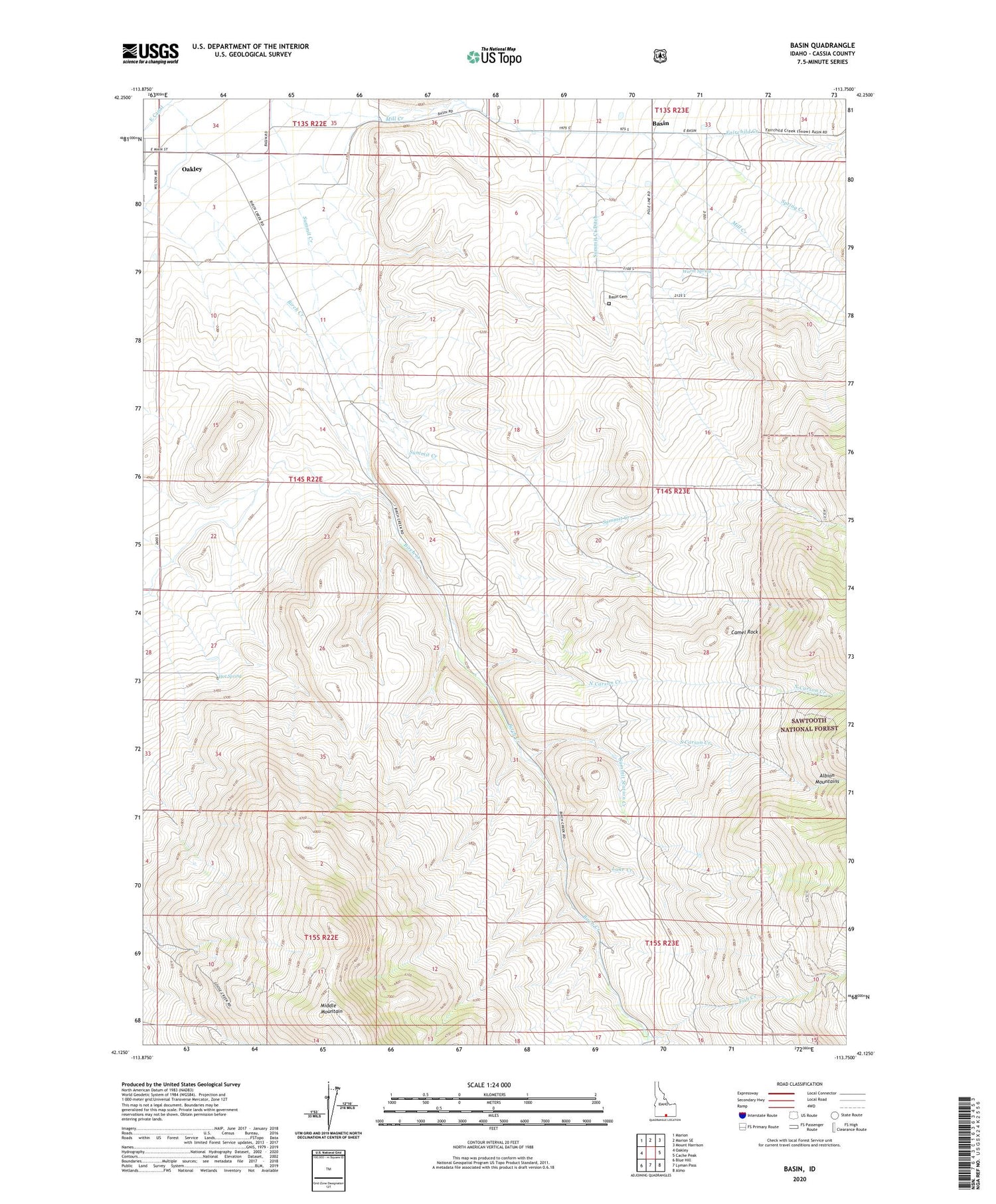
2023 topographic map quadrangle Basin in the state of Idaho. Scale: 1:24000. Based on the newly updated USGS 7.5' US Topo map series, this map is in the following counties: Cassia. The map contains contour data, water features, and other items you are used to seeing on USGS maps, but also has updated roads and other features. This is the next generation of topographic maps. Printed on high-quality waterproof paper with UV fade-resistant inks.
Quads adjacent to this one:
West: Oakley
Northwest: Marion
North: Marion SE
Northeast: Mount Harrison
East: Cache Peak
Southeast: Almo
South: Lyman Pass
Southwest: Blue Hill
This map covers the same area as the classic USGS quad with code o42113b7.
Contains the following named places: Basin, Basin Cemetery, Birch Creek, Camel Rock, Fairchild Creek, Fish Creek, Hot Spring, Lake Creek, North Carson Creek, Oakley Wildlife Habitat Area East, South Carson Creek, Spring Creek, Summit Creek, Summit Creek Ditch, Summit Station Creek, Warm Spring


