MyTopo
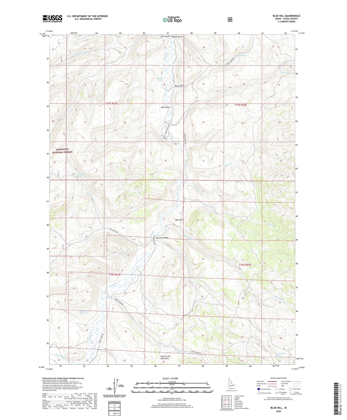
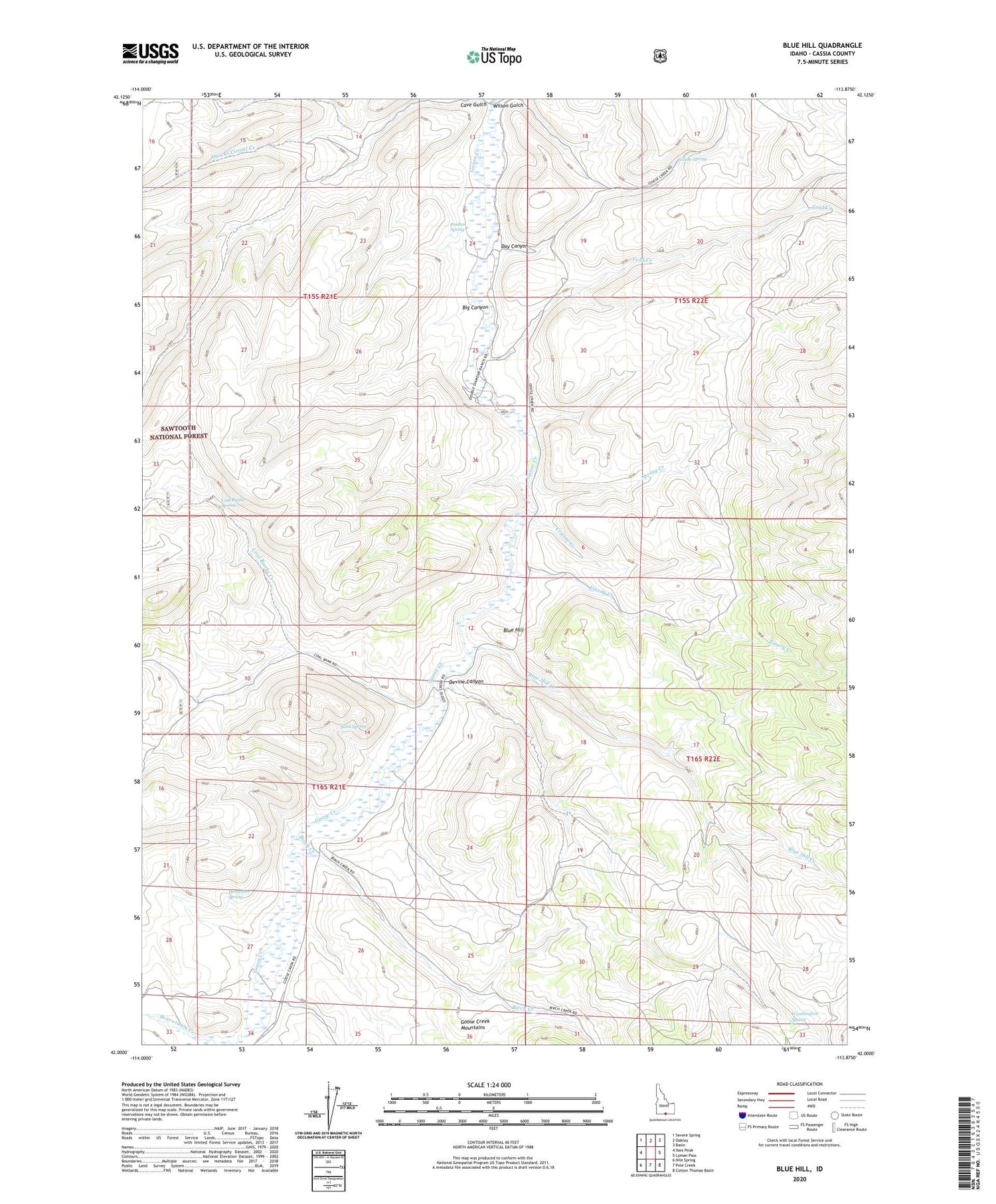
Blue Hill Idaho US Topo Map
Couldn't load pickup availability
Also explore the Blue Hill Forest Service Topo of this same quad for updated USFS data
2024 topographic map quadrangle Blue Hill in the state of Idaho. Scale: 1:24000. Based on the newly updated USGS 7.5' US Topo map series, this map is in the following counties: Cassia. The map contains contour data, water features, and other items you are used to seeing on USGS maps, but also has updated roads and other features. This is the next generation of topographic maps. Printed on high-quality waterproof paper with UV fade-resistant inks.
Quads adjacent to this one:
West: Ibex Peak
Northwest: Severe Spring
North: Oakley
Northeast: Basin
East: Lyman Pass
Southeast: Cotton Thomas Basin
South: Pole Creek
Southwest: Nile Spring
This map covers the same area as the classic USGS quad with code o42113a8.
Contains the following named places: Big Canyon, Birch Creek, Blue Hill, Blue Hill Creek, California Trail, Cave Gulch, Coal Banks Creek, Coal Banks Spring, Cold Creek, Coyote Creek, Day Canyon, Devine Canyon, Emery Creek, Horseshoe Spring, Owens Corral Creek, Poulton Spring, Sand Spring, Spring Creek, Wilson Gulch, Wilson Spring, Worthington Spring