MyTopo
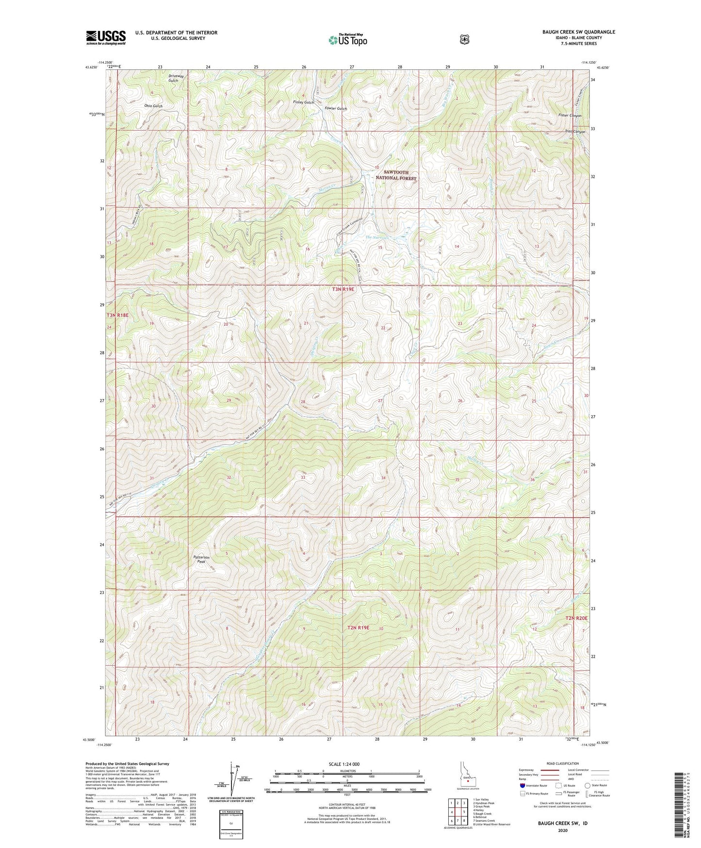
Baugh Creek SW Idaho US Topo Map
Couldn't load pickup availability
Also explore the Baugh Creek SW Forest Service Topo of this same quad for updated USFS data
2023 topographic map quadrangle Baugh Creek SW in the state of Idaho. Scale: 1:24000. Based on the newly updated USGS 7.5' US Topo map series, this map is in the following counties: Blaine. The map contains contour data, water features, and other items you are used to seeing on USGS maps, but also has updated roads and other features. This is the next generation of topographic maps. Printed on high-quality waterproof paper with UV fade-resistant inks.
Quads adjacent to this one:
West: Hailey
Northwest: Sun Valley
North: Hyndman Peak
Northeast: Grays Peak
East: Baugh Creek
Southeast: Little Wood River Reservoir
South: Seamans Creek
Southwest: Bellevue
This map covers the same area as the classic USGS quad with code o43114e2.
Contains the following named places: Big Witch Creek, Cabin Creek, Finley Creek, Finley Gulch, Fowler Gulch, Moran Creek, Patterson Peak, The Narrows, Trail Canyon, West Fork Big Witch Creek