MyTopo
Black Mountain Idaho US Topo Map
Couldn't load pickup availability
Also explore the Black Mountain Forest Service Topo of this same quad for updated USFS data
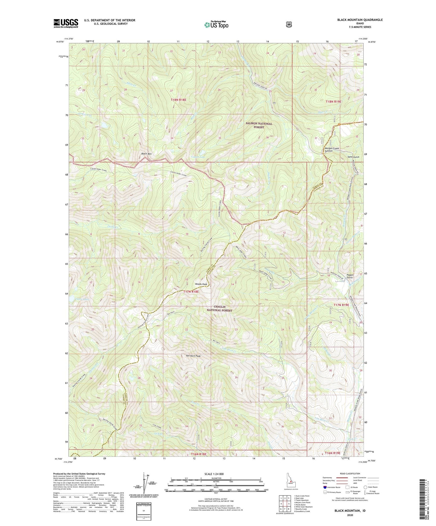
2024 topographic map quadrangle Black Mountain in the state of Idaho. Scale: 1:24000. Based on the newly updated USGS 7.5' US Topo map series, this map is in the following counties: Lemhi, Custer. The map contains contour data, water features, and other items you are used to seeing on USGS maps, but also has updated roads and other features. This is the next generation of topographic maps. Printed on high-quality waterproof paper with UV fade-resistant inks.
Quads adjacent to this one:
West: Meyers Cove Point
Northwest: Duck Creek Point
North: Opal Lake
Northeast: Taylor Mountain
East: Wards Butte
Southeast: Gooseberry Creek
South: Blowfly Creek
Southwest: White Goat Mountain
This map covers the same area as the classic USGS quad with code o44114g3.
Contains the following named places: Alder Creek, Annie Rooney Creek, Black Mountain, Castle Lakes, Corral Creek, Cougar Lake, DeWitt Creek, Hogan Gulch, McKenney Creek, Mink Creek, Morgan Creek Summit, Otter Creek, Oyler Ranch, Packer Basin Creek, Pork Creek, Sams Gulch, Sawmill Creek, Stephens Creek, Van Horn Creek, Van Horn Peak, Woods Peak