
MyTopo
Blizzard Mountain South Idaho US Topo Map
Couldn't load pickup availability
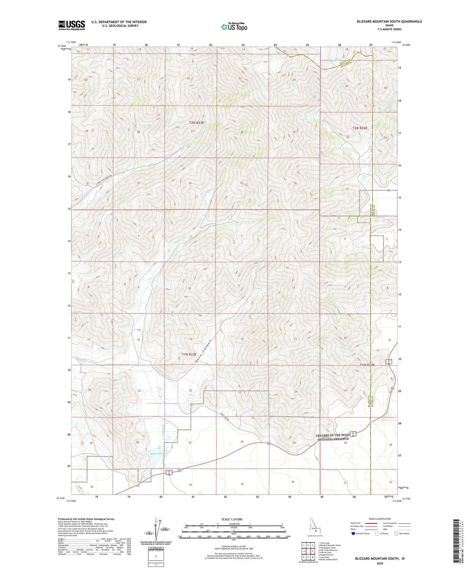
2024 topographic map quadrangle Blizzard Mountain South in the state of Idaho. Scale: 1:24000. Based on the newly updated USGS 7.5' US Topo map series, this map is in the following counties: Blaine, Butte. The map contains contour data, water features, and other items you are used to seeing on USGS maps, but also has updated roads and other features. This is the next generation of topographic maps. Printed on high-quality waterproof paper with UV fade-resistant inks.
Quads adjacent to this one:
West: Fish Creek Reservoir
Northwest: Trail Creek
North: Blizzard Mountain North
Northeast: Champagne Creek
East: Inferno Cone
Southeast: North Laidlaw Butte
South: Little Park
Southwest: Paddelford Flat
This map covers the same area as the classic USGS quad with code o43113d6.
Contains the following named places: Barn Canyon, Blizzard Mountain, Copper Creek, Cottonwood Creek, Lava Lake, Paymaster Mine


