MyTopo
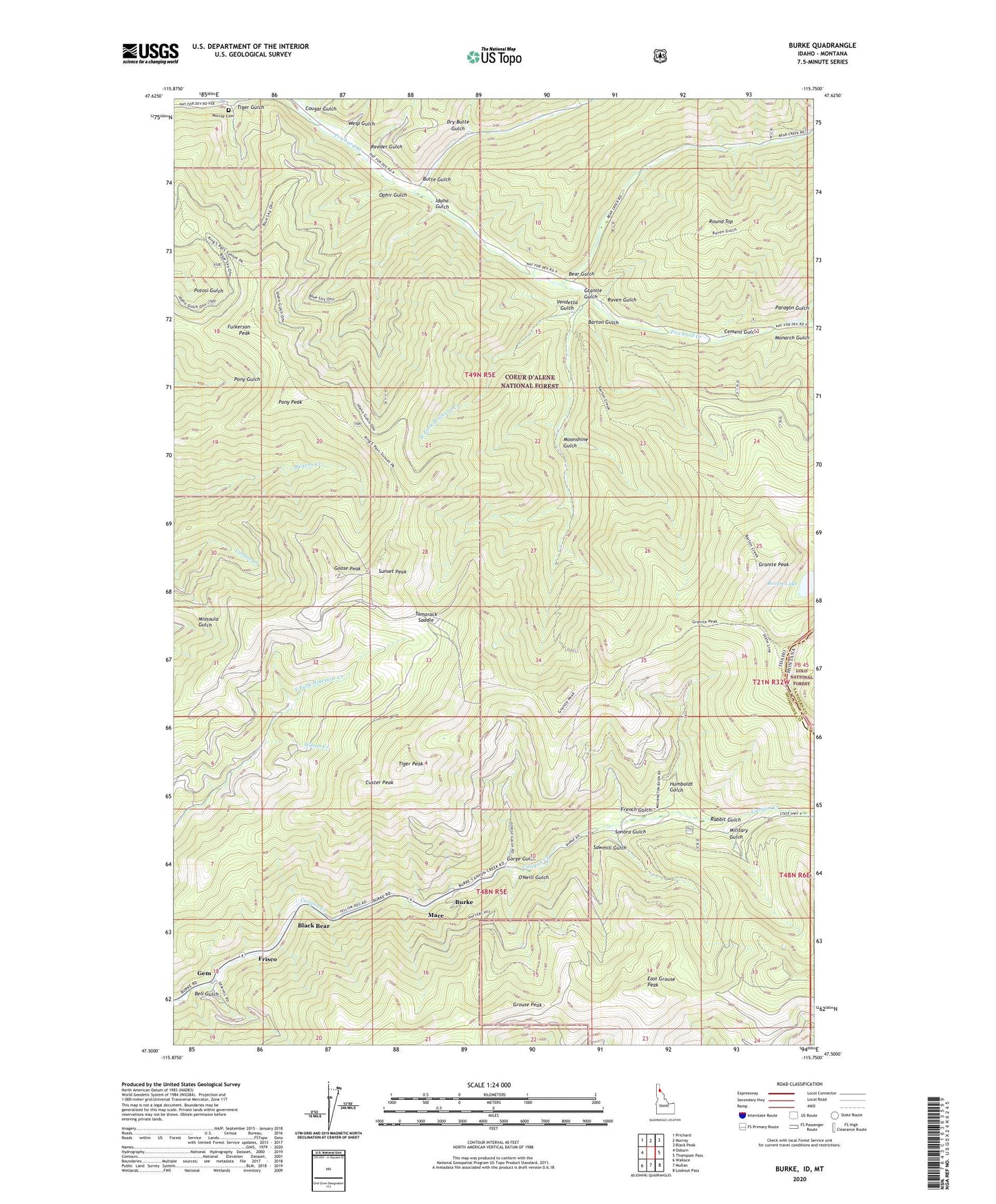
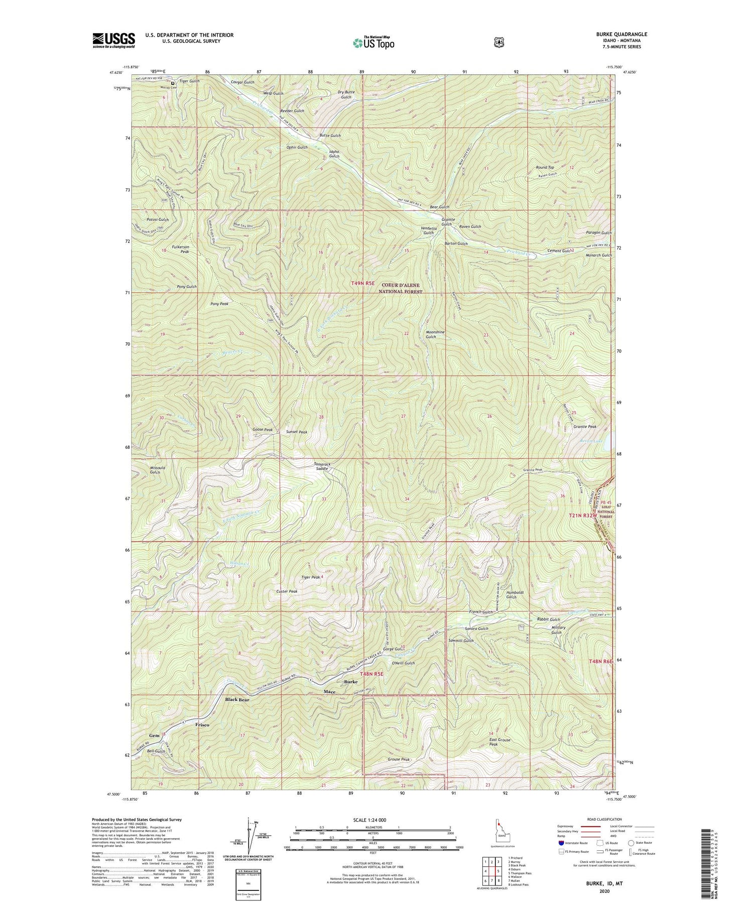
Burke Idaho US Topo Map
Couldn't load pickup availability
Also explore the Burke Forest Service Topo of this same quad for updated USFS data
2024 topographic map quadrangle Burke in the state of Idaho. Scale: 1:24000. Based on the newly updated USGS 7.5' US Topo map series, this map is in the following counties: Shoshone, Sanders. The map contains contour data, water features, and other items you are used to seeing on USGS maps, but also has updated roads and other features. This is the next generation of topographic maps. Printed on high-quality waterproof paper with UV fade-resistant inks.
Quads adjacent to this one:
West: Osburn
Northwest: Prichard
North: Murray
Northeast: Black Peak
East: Thompson Pass
Southeast: Lookout Pass
South: Mullan
Southwest: Wallace
Contains the following named places: Barton Gulch, Bear Gulch, Bell Gulch, Black Bear, Bonanza Gulch, Burke, Butte Gulch, Cement Gulch, Cornwall, Cougar Gulch, Custer Mine, Custer Peak, Dry Butte Gulch, East Grouse Peak, French Gulch, Frisco, Frisco Mine, Fulkerson Peak, Gem, Gold Run, Golden Chest Mine, Goose Peak, Gorge Gulch, Granite Gulch, Granite Mine, Granite Peak, Grouse Peak, Hecla Mine, Hercules Mine, Humboldt Gulch, Idaho Gulch, Interstate Mine, Littlefield, Mace, Military Gulch, Monarch Gulch, Monarch Mine, Moonshine Gulch, Murray Cemetery, O'Neill Gulch, Ophir Gulch, Paragon Gulch, Pony Peak, Rabbit Gulch, Raven, Raven Gulch, Reeder Gulch, Revett Lake, Round Top, Sawmill Gulch, Silvertip Mine, Sixteen-to-One Mine, Sonora Gulch, Standard Mammoth Mine, Sullivan, Sunset, Sunset Mine, Sunset Peak, Tamarack Saddle, Tiger Gulch, Tiger Peak, Tiger-Poorman Mine, Vendetta Gulch, Wesp Gulch, West Fork Prichard Creek, Wilson Creek, ZIP Code: 83873


