MyTopo
Chalk Hills Idaho US Topo Map
Couldn't load pickup availability
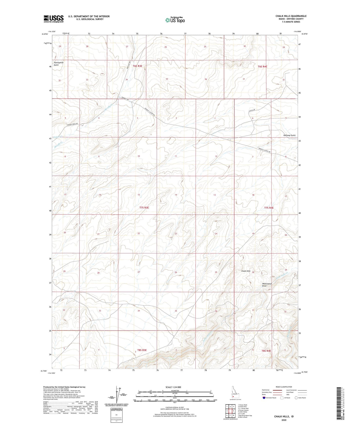
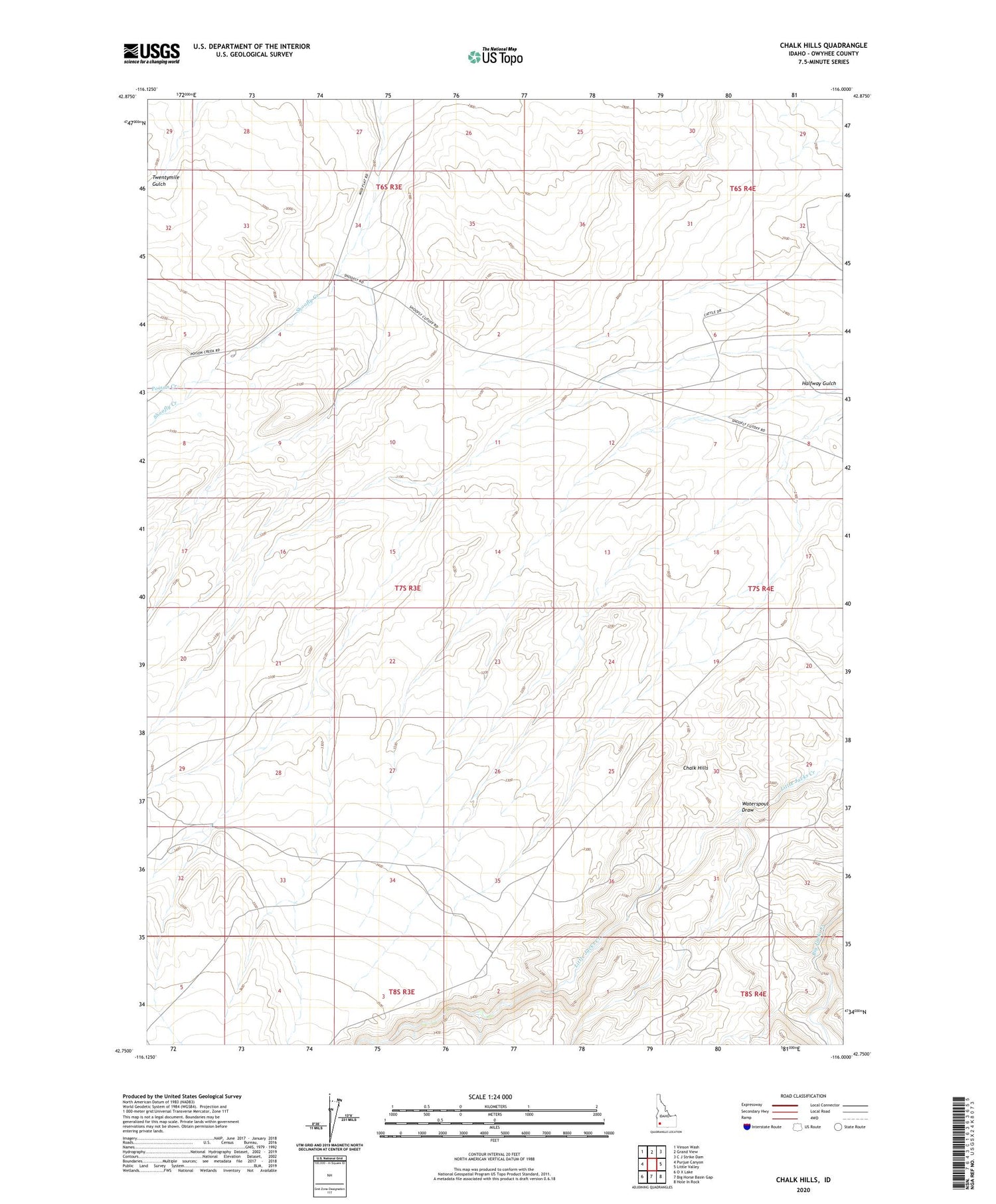
2023 topographic map quadrangle Chalk Hills in the state of Idaho. Scale: 1:24000. Based on the newly updated USGS 7.5' US Topo map series, this map is in the following counties: Owyhee. The map contains contour data, water features, and other items you are used to seeing on USGS maps, but also has updated roads and other features. This is the next generation of topographic maps. Printed on high-quality waterproof paper with UV fade-resistant inks.
Quads adjacent to this one:
West: Purjue Canyon
Northwest: Vinson Wash
North: Grand View
Northeast: C J Strike Dam
East: Little Valley
Southeast: Hole In Rock
South: Big Horse Basin Gap
Southwest: O X Lake
This map covers the same area as the classic USGS quad with code o42116g1.
Contains the following named places: Al Sadie Ranch, Chalk Hills, Parker Ranch, Poison Creek, Waterspout Draw