MyTopo
Community Lake Idaho US Topo Map
Couldn't load pickup availability
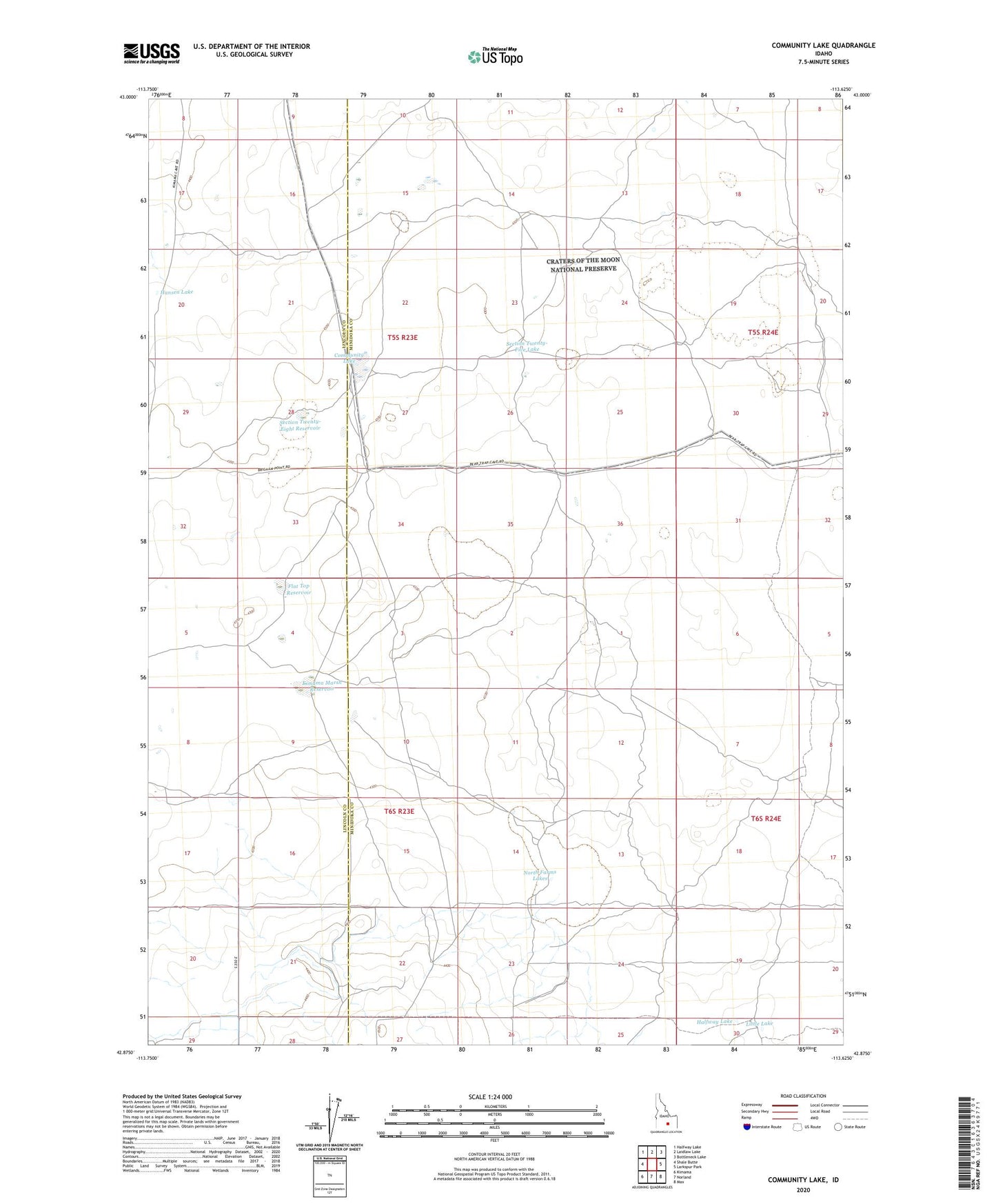
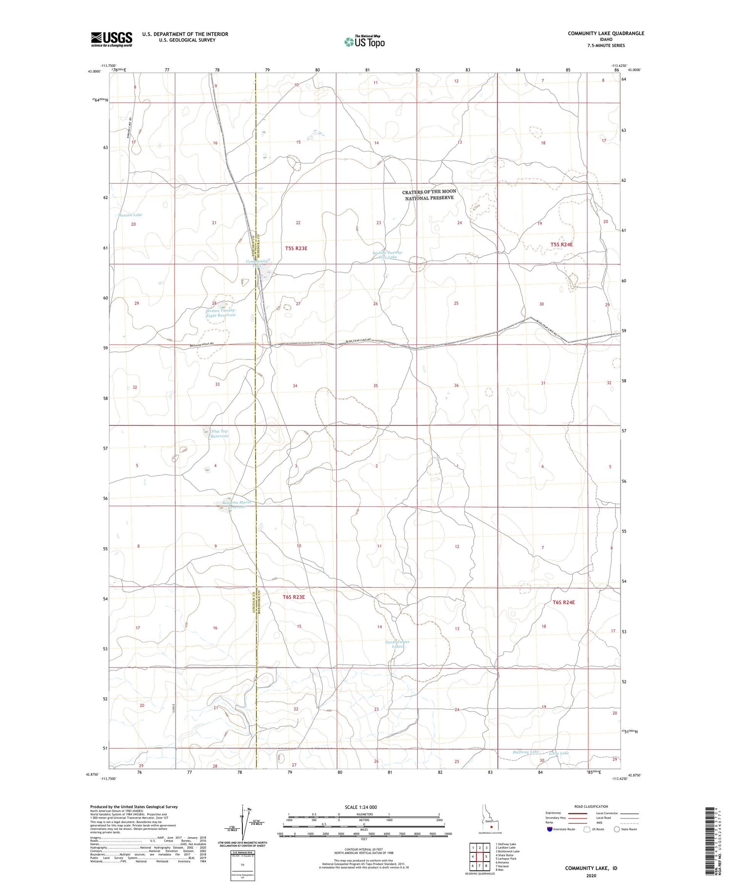
2023 topographic map quadrangle Community Lake in the state of Idaho. Scale: 1:24000. Based on the newly updated USGS 7.5' US Topo map series, this map is in the following counties: Minidoka, Lincoln. The map contains contour data, water features, and other items you are used to seeing on USGS maps, but also has updated roads and other features. This is the next generation of topographic maps. Printed on high-quality waterproof paper with UV fade-resistant inks.
Quads adjacent to this one:
West: Shale Butte
Northwest: Halfway Lake
North: Laidlaw Lake
Northeast: Bottleneck Lake
East: Larkspur Park
Southeast: Max
South: Norland
Southwest: Kimama
This map covers the same area as the classic USGS quad with code o42113h6.
Contains the following named places: Community Lake, Flat Top Reservoir, Halfway Lake, Hansen Lake, Kimama Marsh Reservoir, Little Lake, North Farms Lakes, Peavey Well, Section Twenty-Eight Reservoir, Section Twenty-Five Lake