MyTopo
Laidlaw Lake Idaho US Topo Map
Couldn't load pickup availability
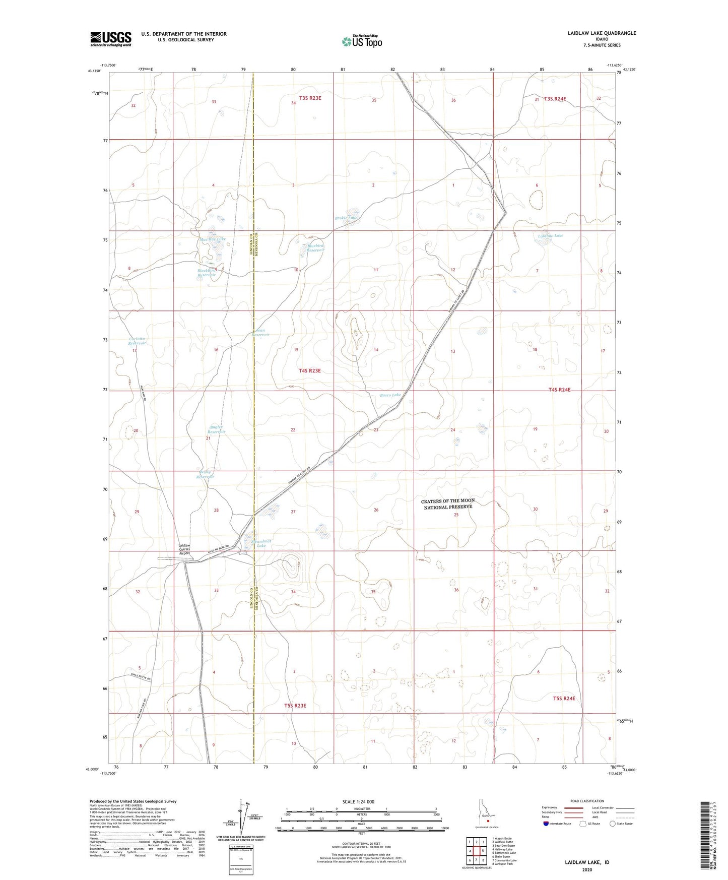
2023 topographic map quadrangle Laidlaw Lake in the state of Idaho. Scale: 1:24000. Based on the newly updated USGS 7.5' US Topo map series, this map is in the following counties: Minidoka, Lincoln. The map contains contour data, water features, and other items you are used to seeing on USGS maps, but also has updated roads and other features. This is the next generation of topographic maps. Printed on high-quality waterproof paper with UV fade-resistant inks.
Quads adjacent to this one:
West: Halfway Lake
Northwest: Wagon Butte
North: Laidlaw Butte
Northeast: Bear Den Butte
East: Bottleneck Lake
Southeast: Larkspur Park
South: Community Lake
Southwest: Shale Butte
This map covers the same area as the classic USGS quad with code o43113a6.
Contains the following named places: Basco Lake, Blackbird Reservoir, Bluebird Reservoir, Brokie Lake, Bugler Reservoir, Carlotta Reservoir, Jean Reservoir, Laidlaw Corrals, Laidlaw Corrals Airport, Laidlaw Lake, Mac Rae Lake, Steamboat Lake, Wally Reservoir