MyTopo
Shale Butte Idaho US Topo Map
Couldn't load pickup availability
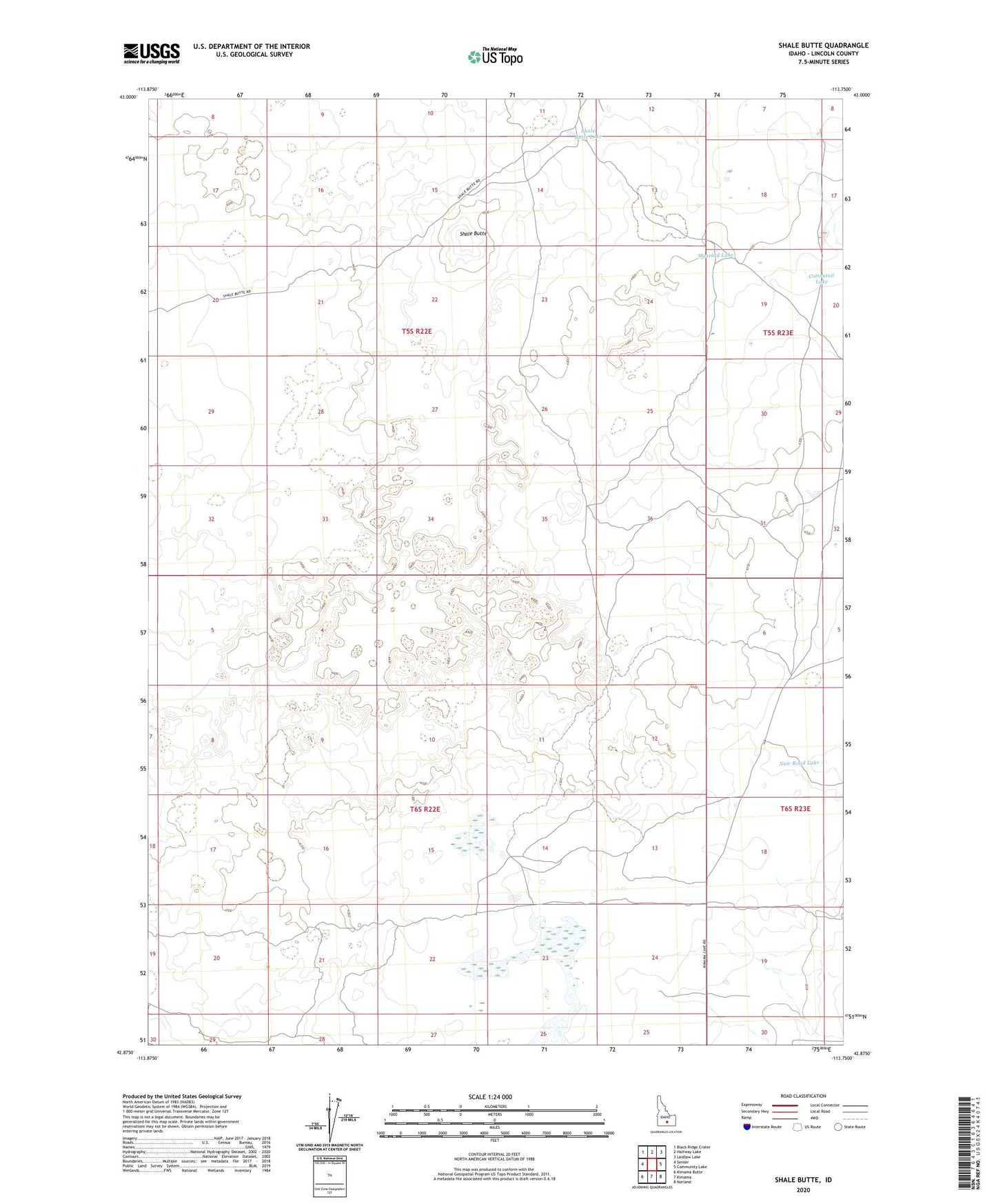
2023 topographic map quadrangle Shale Butte in the state of Idaho. Scale: 1:24000. Based on the newly updated USGS 7.5' US Topo map series, this map is in the following counties: Lincoln. The map contains contour data, water features, and other items you are used to seeing on USGS maps, but also has updated roads and other features. This is the next generation of topographic maps. Printed on high-quality waterproof paper with UV fade-resistant inks.
Quads adjacent to this one:
West: Senter
Northwest: Black Ridge Crater
North: Halfway Lake
Northeast: Laidlaw Lake
East: Community Lake
Southeast: Norland
South: Kimama
Southwest: Kimama Butte
This map covers the same area as the classic USGS quad with code o42113h7.
Contains the following named places: Cottontail Lake, Mustard Lake, New Road Lake, Shale Butte, Shale Butte Lake, Shale Butte Trappers Cabin, Shale Butte Water Tonk