MyTopo
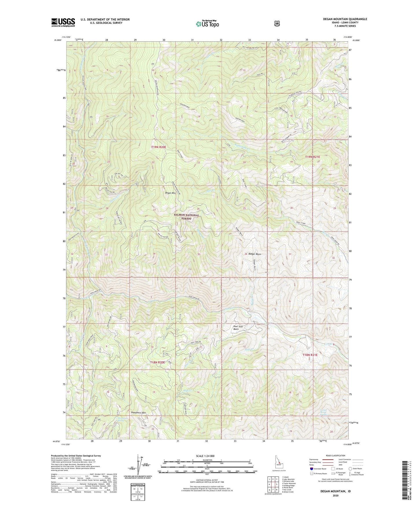
Degan Mountain Idaho US Topo Map
Couldn't load pickup availability
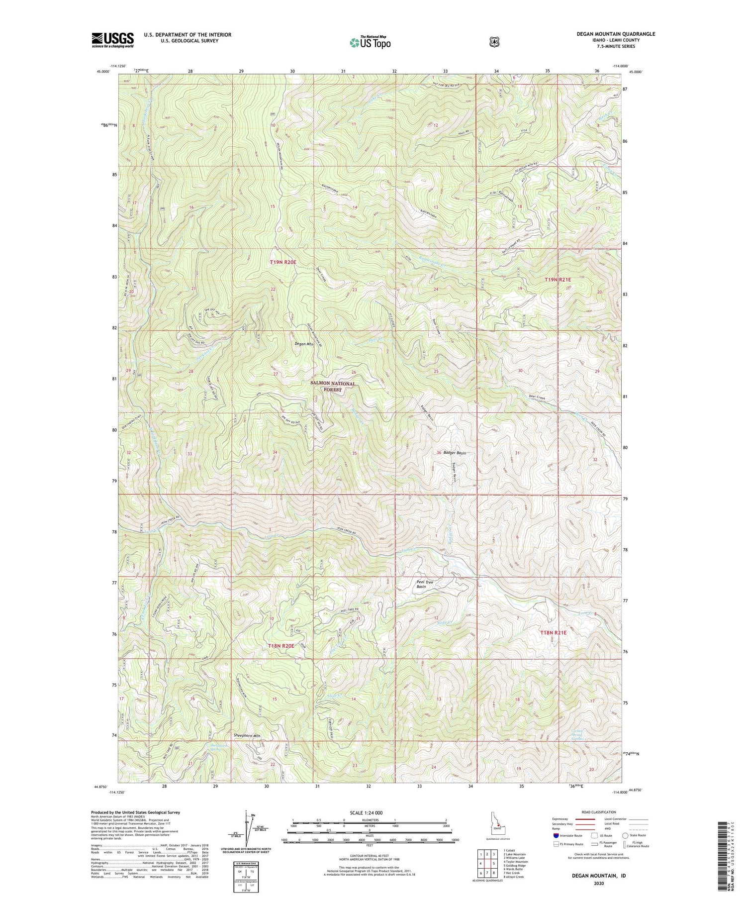
Also explore the Degan Mountain Forest Service Topo of this same quad for updated USFS data
2024 topographic map quadrangle Degan Mountain in the state of Idaho. Scale: 1:24000. Based on the newly updated USGS 7.5' US Topo map series, this map is in the following counties: Lemhi. The map contains contour data, water features, and other items you are used to seeing on USGS maps, but also has updated roads and other features. This is the next generation of topographic maps. Printed on high-quality waterproof paper with UV fade-resistant inks.
Quads adjacent to this one:
West: Taylor Mountain
Northwest: Cobalt
North: Lake Mountain
Northeast: Williams Lake
East: Goldbug Ridge
Southeast: Allison Creek
South: Hat Creek
Southwest: Wards Butte
This map covers the same area as the classic USGS quad with code o44114h1.
Contains the following named places: Badger Basin, Badger Creek, Corbett Spring Number 1, Degan Mountain, Jackass Creek, North Fork Iron Creek, Peel Tree Basin, Peel Tree Creek, Sheephorn Mountain, Sheephorn Spring, Slide Creek, South Fork Iron Creek, Twin Peaks Mine, West Fork Iron Creek