
MyTopo
Dietrich Butte Idaho US Topo Map
Couldn't load pickup availability
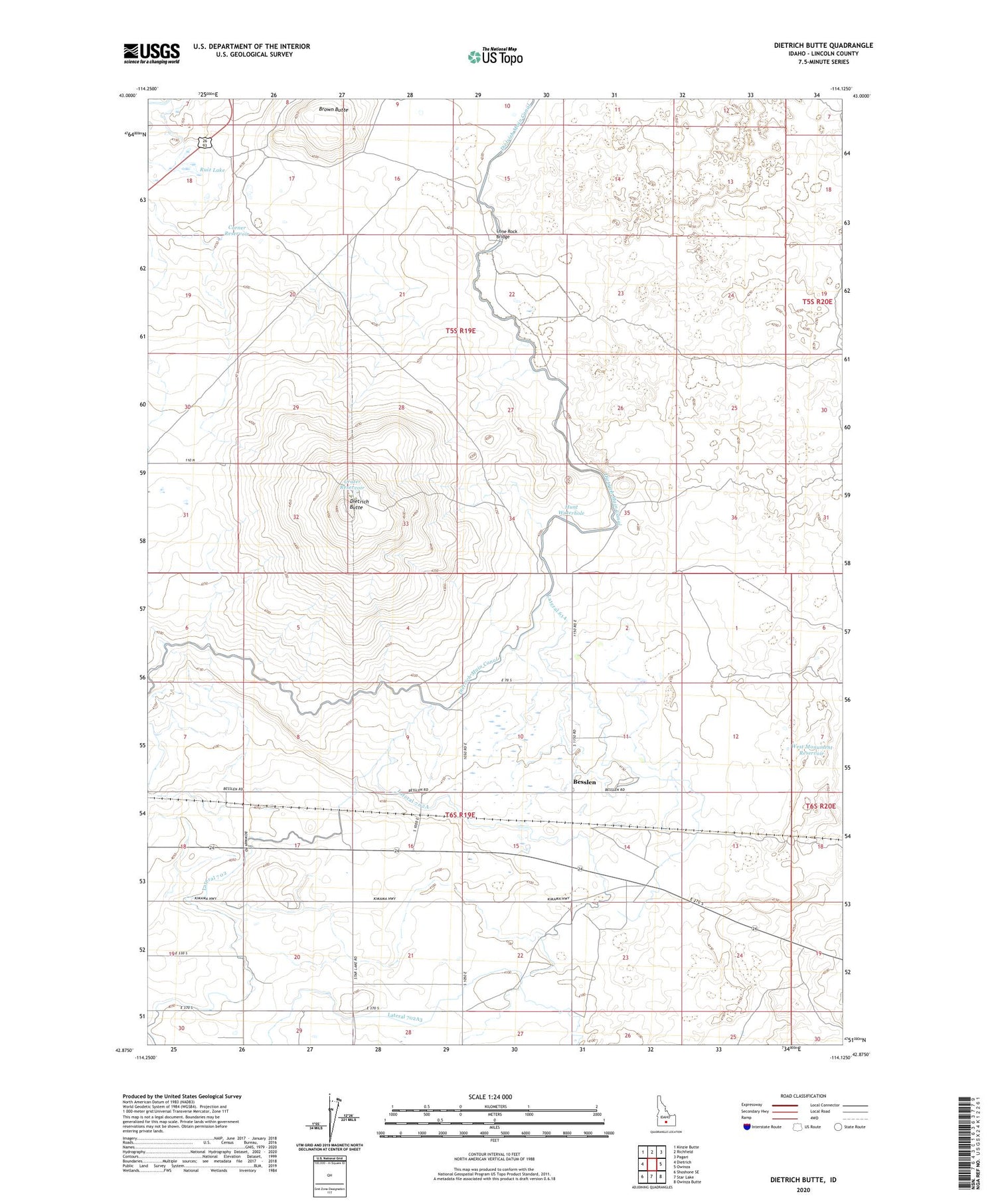
2024 topographic map quadrangle Dietrich Butte in the state of Idaho. Scale: 1:24000. Based on the newly updated USGS 7.5' US Topo map series, this map is in the following counties: Lincoln. The map contains contour data, water features, and other items you are used to seeing on USGS maps, but also has updated roads and other features. This is the next generation of topographic maps. Printed on high-quality waterproof paper with UV fade-resistant inks.
Quads adjacent to this one:
West: Dietrich
Northwest: Kinzie Butte
North: Richfield
Northeast: Pagari
East: Owinza
Southeast: Owinza Butte
South: Star Lake
Southwest: Shoshone SE
This map covers the same area as the classic USGS quad with code o42114h2.
Contains the following named places: Besslen, Besslen Station, Brown Butte, Corner Reservoir, Crater Reservoir, Dietrich Butte, Dietrich Butte Well, Dietrich Main Canal, Hunt Waterhole, Lateral 614, Lateral 702, Lateral 702A, Lateral 702A3, Lateral 702A3B, Lone Rock Bridge, Ruiz Lake, West Monument Reservoir


