MyTopo
Owinza Idaho US Topo Map
Couldn't load pickup availability
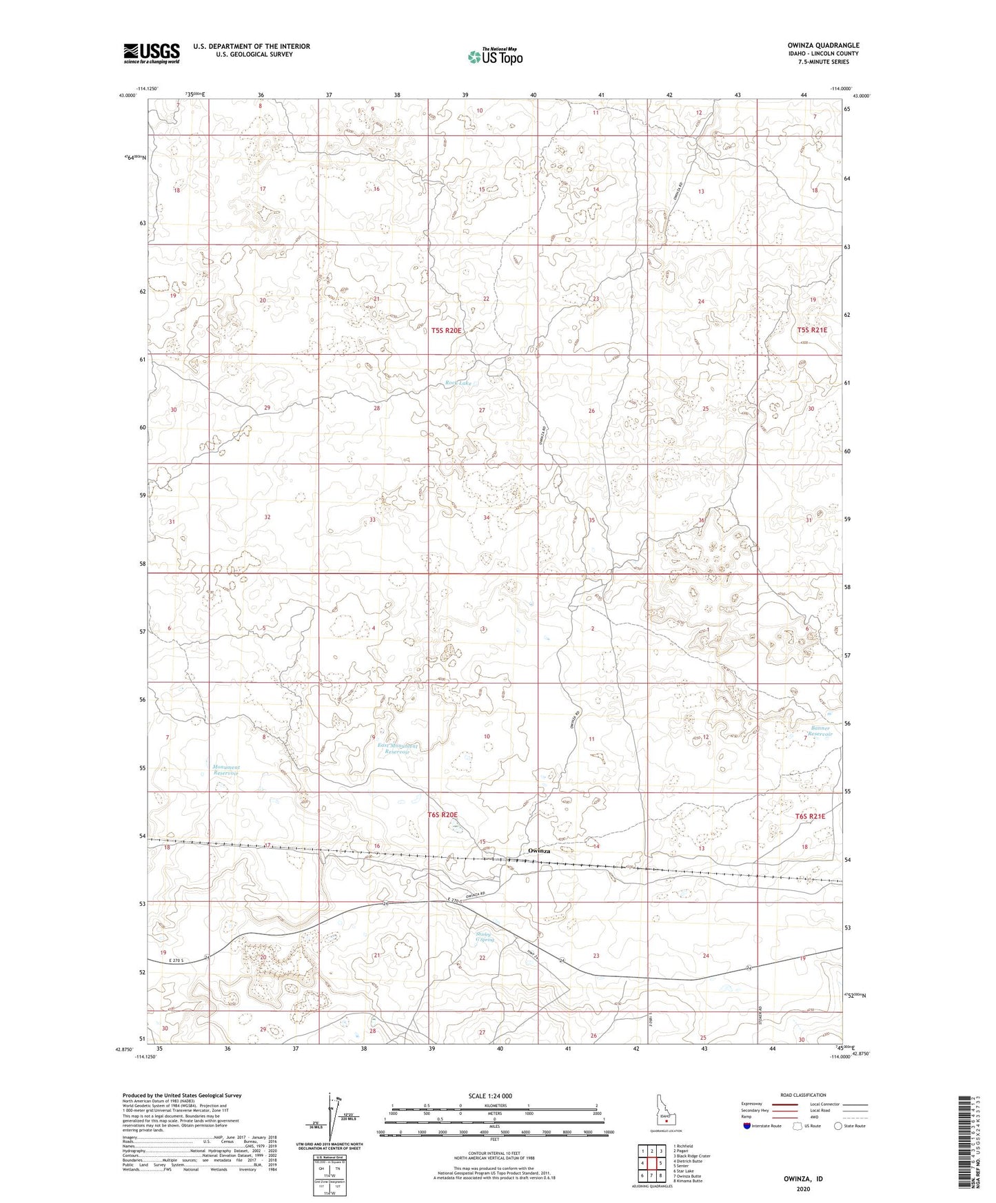
2023 topographic map quadrangle Owinza in the state of Idaho. Scale: 1:24000. Based on the newly updated USGS 7.5' US Topo map series, this map is in the following counties: Lincoln. The map contains contour data, water features, and other items you are used to seeing on USGS maps, but also has updated roads and other features. This is the next generation of topographic maps. Printed on high-quality waterproof paper with UV fade-resistant inks.
Quads adjacent to this one:
West: Dietrich Butte
Northwest: Richfield
North: Pagari
Northeast: Black Ridge Crater
East: Senter
Southeast: Kimama Butte
South: Owinza Butte
Southwest: Star Lake
This map covers the same area as the classic USGS quad with code o42114h1.
Contains the following named places: Banner Reservoir, Dietrich Allotment Well, East Monument Reservoir, Monument Reservoir, Owinza, Rock Lake, Rocks Well, Shirley G Spring