
MyTopo
Gannett Idaho US Topo Map
Couldn't load pickup availability
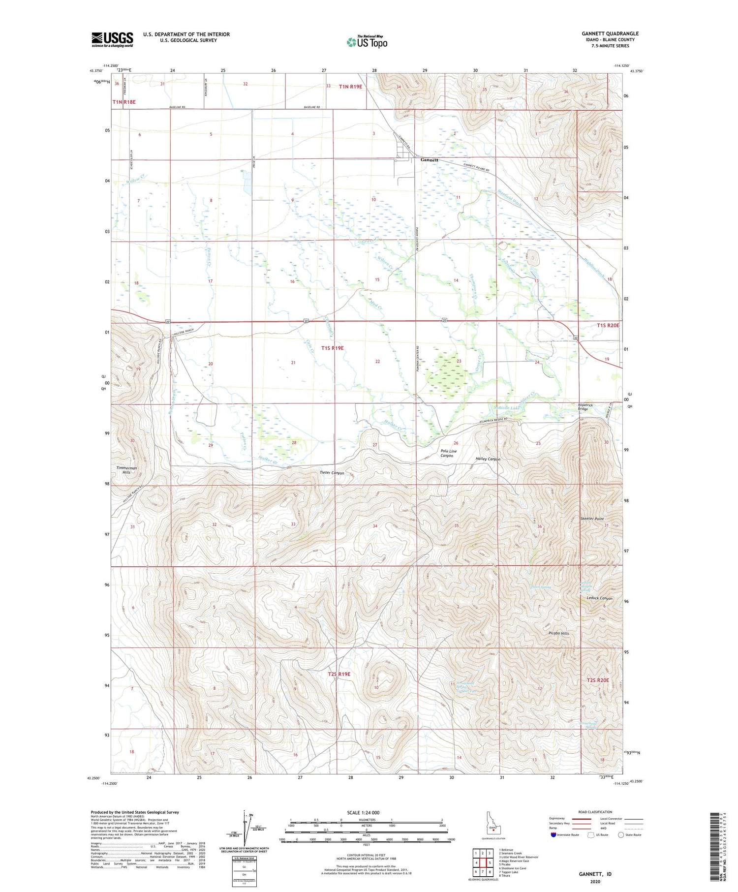
2024 topographic map quadrangle Gannett in the state of Idaho. Scale: 1:24000. Based on the newly updated USGS 7.5' US Topo map series, this map is in the following counties: Blaine. The map contains contour data, water features, and other items you are used to seeing on USGS maps, but also has updated roads and other features. This is the next generation of topographic maps. Printed on high-quality waterproof paper with UV fade-resistant inks.
Quads adjacent to this one:
West: Magic Reservoir East
Northwest: Bellevue
North: Seamans Creek
Northeast: Little Wood River Reservoir
East: Picabo
Southeast: Tikura
South: Tapper Lake
Southwest: Shoshone Ice Cave
This map covers the same area as the classic USGS quad with code o43114c2.
Contains the following named places: Albrethsen Dam, Arrowhead Spring, Arrowhead Spring Number Two, Buhler Drain, Butte Creek, Cain Creek, Chaney Creek, Gannett, Gannett Census Designated Place, Grove Creek, Hailey Canyon, Hayspur Fish Hatchery, Highline Ditch, Kilpatrick Bridge, Leduck Canyon Spring, Loving Creek, Mud Creek, Pasco Spring, Patton Creek, Picabo Hills, Pole Line Canyon, Skeeter Point, Stalker Creek, Stanfield Ditch, Sullivan Lake, Thompson Creek, Tieter Canyon, Wilson Creek


