MyTopo
Glenns Ferry Idaho US Topo Map
Couldn't load pickup availability
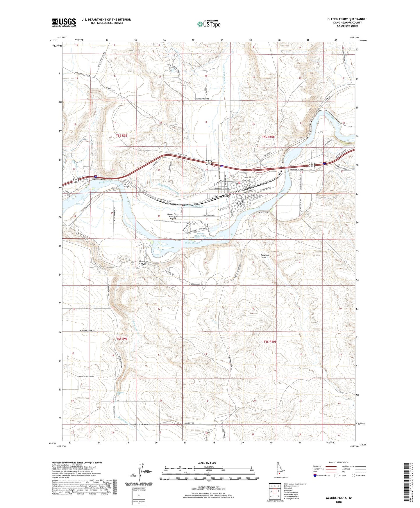
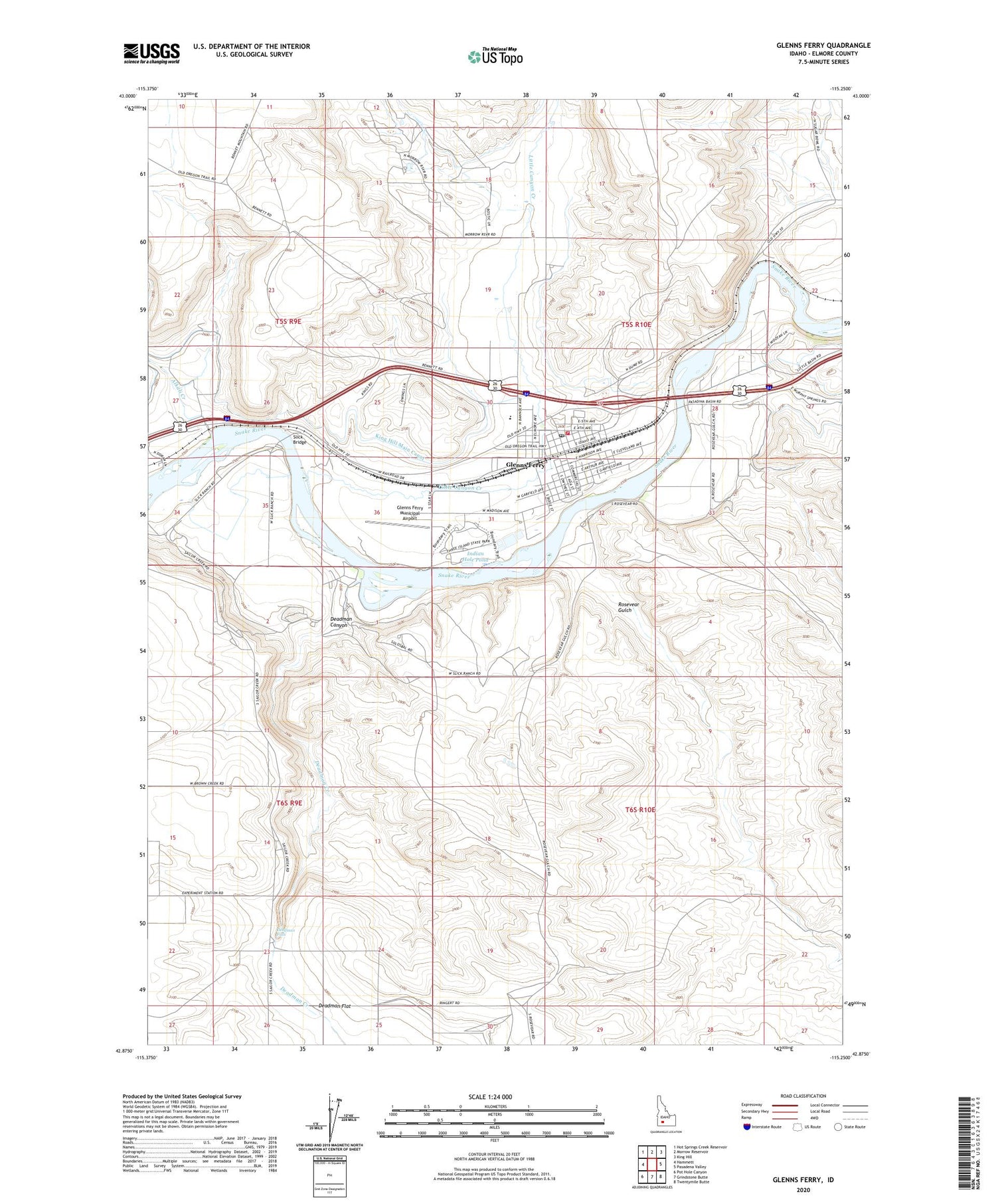
2024 topographic map quadrangle Glenns Ferry in the state of Idaho. Scale: 1:24000. Based on the newly updated USGS 7.5' US Topo map series, this map is in the following counties: Elmore. The map contains contour data, water features, and other items you are used to seeing on USGS maps, but also has updated roads and other features. This is the next generation of topographic maps. Printed on high-quality waterproof paper with UV fade-resistant inks.
Quads adjacent to this one:
West: Hammett
Northwest: Hot Springs Creek Reservoir
North: Morrow Reservoir
Northeast: King Hill
East: Pasadena Valley
Southeast: Twentymile Butte
South: Grindstone Butte
Southwest: Pot Hole Canyon
This map covers the same area as the classic USGS quad with code o42115h3.
Contains the following named places: Alkali Creek, City of Glenns Ferry, Deadman Canyon, Deadman Creek, Deadman Falls, Deadman Flat, Glenn Rest Cemetery, Glenns Ferry, Glenns Ferry Elementary School, Glenns Ferry Fire Department, Glenns Ferry Municipal Airport, Glenns Ferry Police Department, Glenns Ferry Post Office, Glenns Ferry Schools, Glenns Ferry Wildlife Habitat Area, Indian Hole Pond, Little Canyon Creek, Rosevear Gulch, Slick Bridge, Three Island Crossing, Three Island Crossing State Park, Three-Island Crossing Access Area