MyTopo
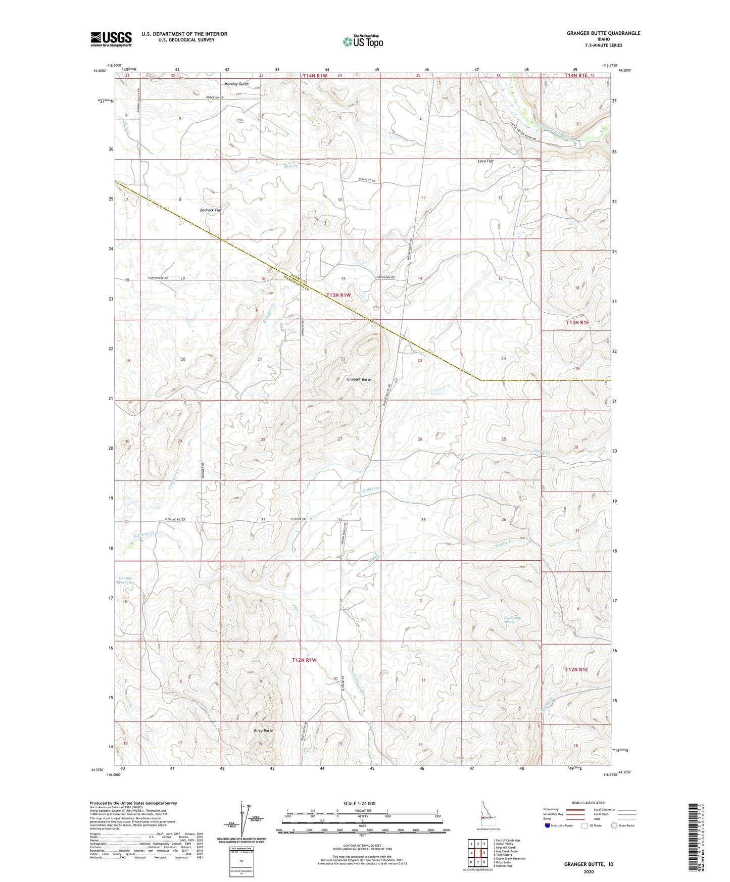
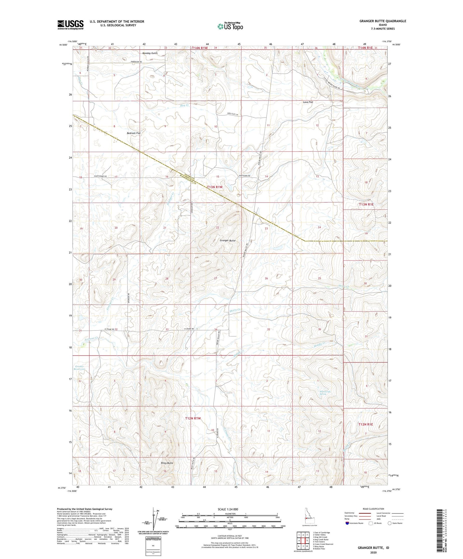
Granger Butte Idaho US Topo Map
Couldn't load pickup availability
2024 topographic map quadrangle Granger Butte in the state of Idaho. Scale: 1:24000. Based on the newly updated USGS 7.5' US Topo map series, this map is in the following counties: Washington, Adams. The map contains contour data, water features, and other items you are used to seeing on USGS maps, but also has updated roads and other features. This is the next generation of topographic maps. Printed on high-quality waterproof paper with UV fade-resistant inks.
Quads adjacent to this one:
West: Hog Creek Butte
Northwest: East of Cambridge
North: Indian Valley
Northeast: King Hill Creek
East: Twin Sisters
Southeast: Dodson Pass
South: Riley Butte
Southwest: Crane Creek Reservoir
This map covers the same area as the classic USGS quad with code o44116d4.
Contains the following named places: Bedrock Flat, Bill George Spring, Crane, Granger Butte, Lava Flat, Middle Creek, Mill Creek, Shirts Creek