MyTopo
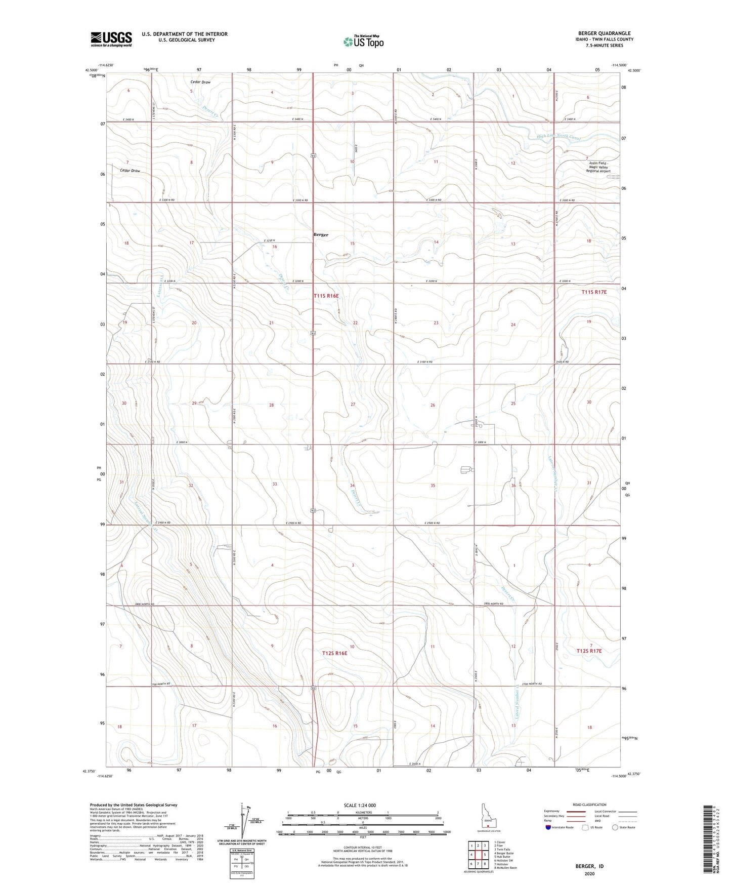
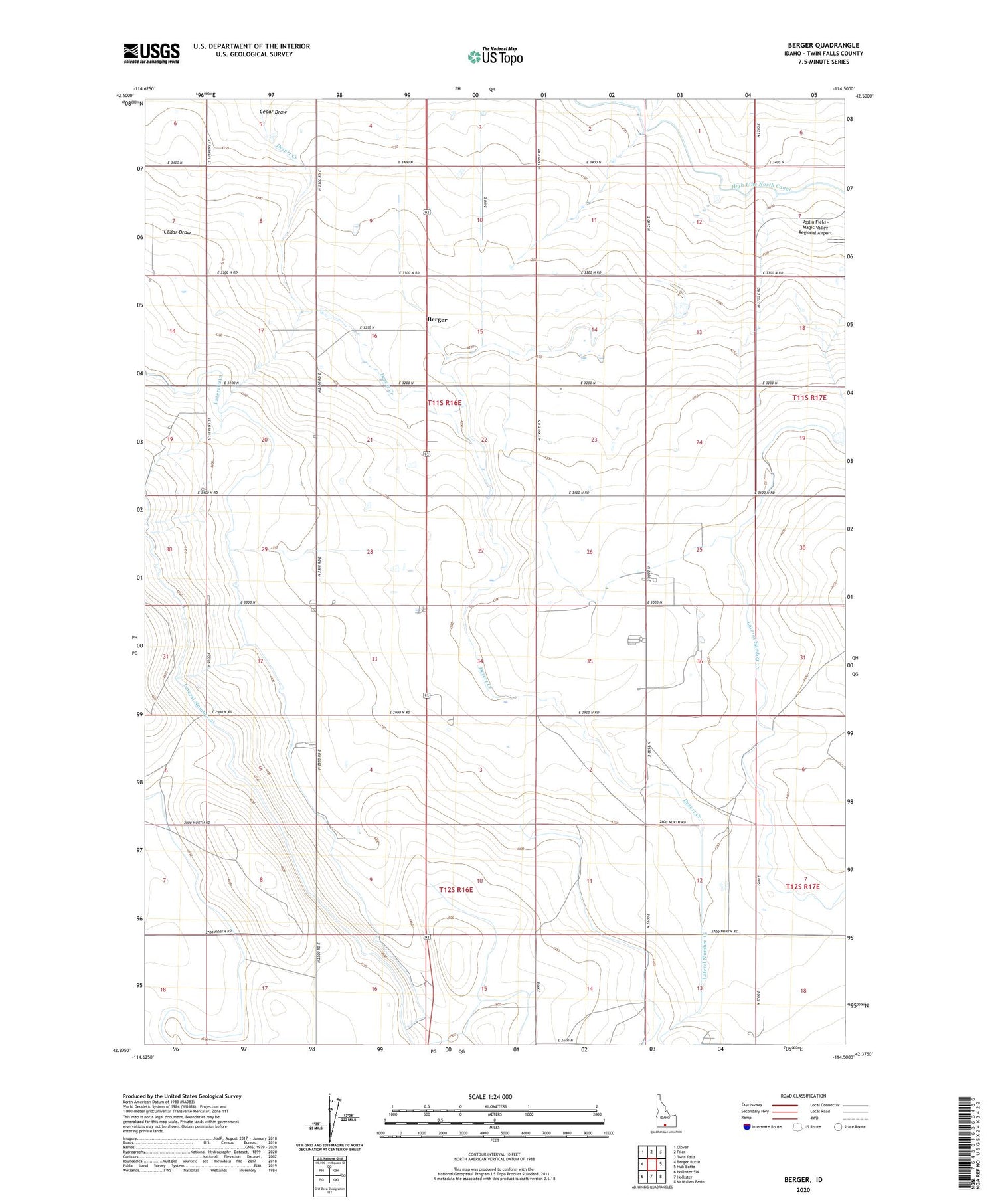
Berger Idaho US Topo Map
Couldn't load pickup availability
2024 topographic map quadrangle Berger in the state of Idaho. Scale: 1:24000. Based on the newly updated USGS 7.5' US Topo map series, this map is in the following counties: Twin Falls. The map contains contour data, water features, and other items you are used to seeing on USGS maps, but also has updated roads and other features. This is the next generation of topographic maps. Printed on high-quality waterproof paper with UV fade-resistant inks.
Quads adjacent to this one:
West: Berger Butte
Northwest: Clover
North: Filer
Northeast: Twin Falls
East: Hub Butte
Southeast: McMullen Basin
South: Hollister
Southwest: Hollister SW
This map covers the same area as the classic USGS quad with code o42114d5.
Contains the following named places: Berger, Cedar Draw, Desert Creek, High Line North Canal, Lateral 213, Lateral Number 15, Lateral Number 17, Lateral Number 21, ZIP Code: 83301