MyTopo
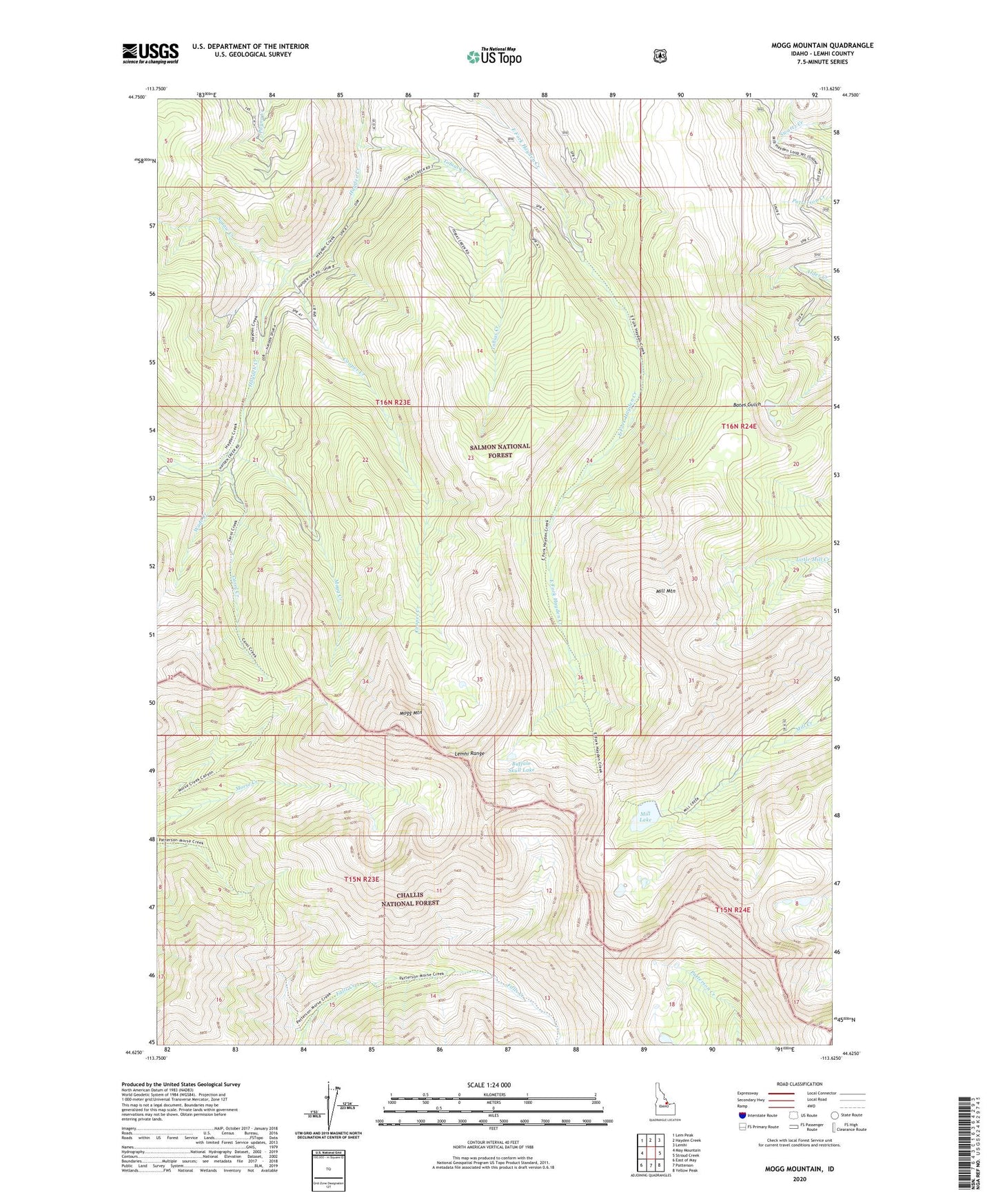
Mogg Mountain Idaho US Topo Map
Couldn't load pickup availability
Also explore the Mogg Mountain Forest Service Topo of this same quad for updated USFS data
2023 topographic map quadrangle Mogg Mountain in the state of Idaho. Scale: 1:24000. Based on the newly updated USGS 7.5' US Topo map series, this map is in the following counties: Lemhi. The map contains contour data, water features, and other items you are used to seeing on USGS maps, but also has updated roads and other features. This is the next generation of topographic maps. Printed on high-quality waterproof paper with UV fade-resistant inks.
Quads adjacent to this one:
West: May Mountain
Northwest: Lem Peak
North: Hayden Creek
Northeast: Lemhi
East: Stroud Creek
Southeast: Yellow Peak
South: Patterson
Southwest: East of May
This map covers the same area as the classic USGS quad with code o44113f6.
Contains the following named places: Buffalo Skull Lake, Carol Creek, Cooper Creek, Mill Creek Lake Dam, Mill Lake, Mill Mountain, Mogg Creek, Mogg Mountain, Paradise Creek, Squaw Creek, Tobias Creek, Wade Creek