MyTopo
Puddin Mountain Idaho US Topo Map
Couldn't load pickup availability
Also explore the Puddin Mountain Forest Service Topo of this same quad for updated USFS data
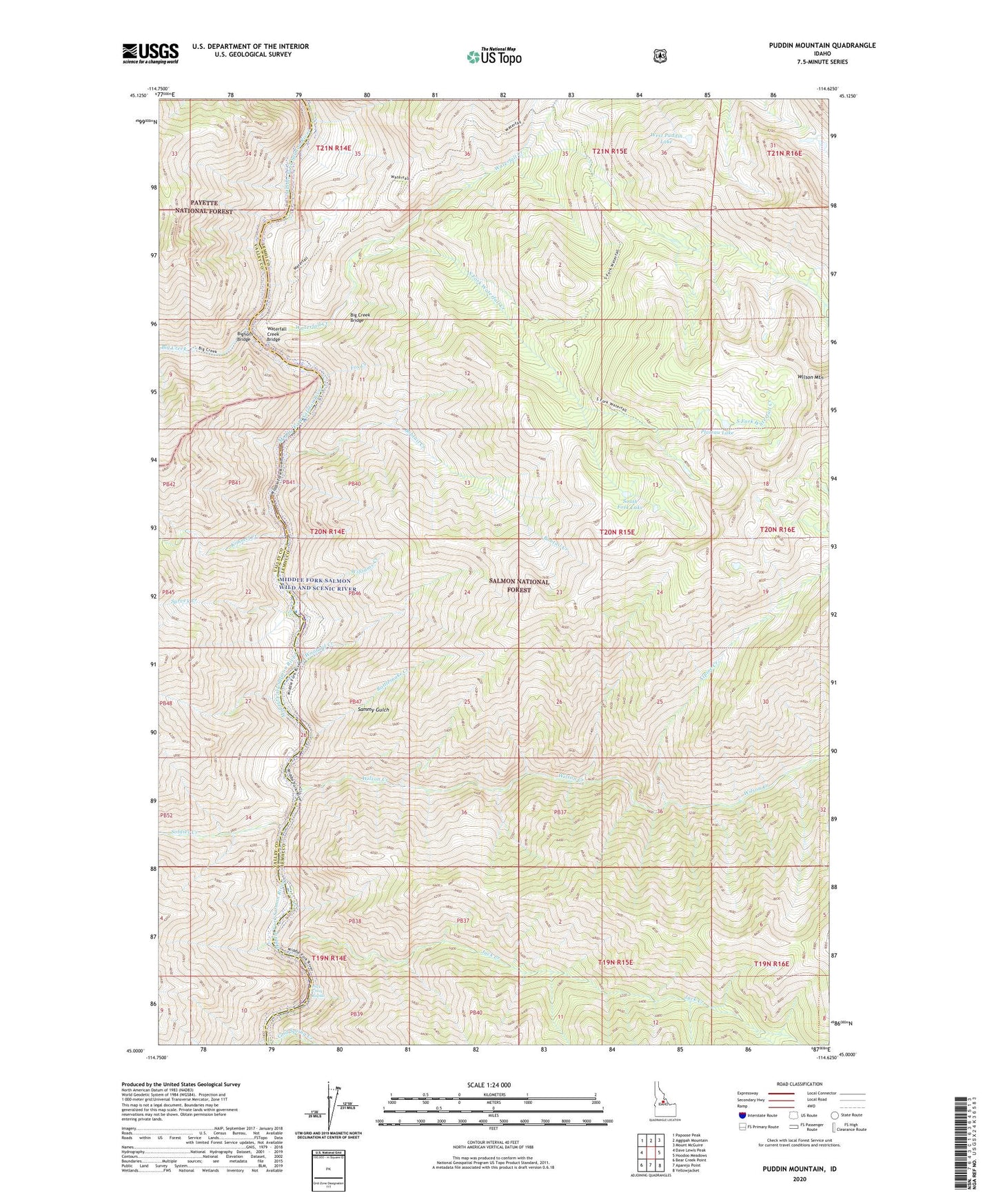
2024 topographic map quadrangle Puddin Mountain in the state of Idaho. Scale: 1:24000. Based on the newly updated USGS 7.5' US Topo map series, this map is in the following counties: Lemhi, Valley. The map contains contour data, water features, and other items you are used to seeing on USGS maps, but also has updated roads and other features. This is the next generation of topographic maps. Printed on high-quality waterproof paper with UV fade-resistant inks.
Quads adjacent to this one:
West: Dave Lewis Peak
Northwest: Papoose Peak
North: Aggipah Mountain
Northeast: Mount McGuire
East: Hoodoo Meadows
Southeast: Yellowjacket
South: Aparejo Point
Southwest: Bear Creek Point
This map covers the same area as the classic USGS quad with code o45114a6.
Contains the following named places: Alpine Creek, Big Creek, Big Creek Bridge, Bighorn Bridge, Bobtail Creek, Elk Bar Campground, Fox Creek, Idaho Primitive Area, Jack Creek, Jack Creek Rapids, Kimmel Creek, Plateau Lake, Puddin Mountain, Rattlesnake Creek, Rattlesnake Creek Campground, Sammy Gulch, Soldier Creek, South Fork Lake, South Fork Trail, South Fork Waterfall Creek, Survey Creek, Survey Creek Campground, Waterfall Creek, Waterfall Creek Bridge, West Puddin Lake, Williams Creek, Wilson Creek, Wilson Creek Campground, Wilson Mountain, Woolard Creek