MyTopo
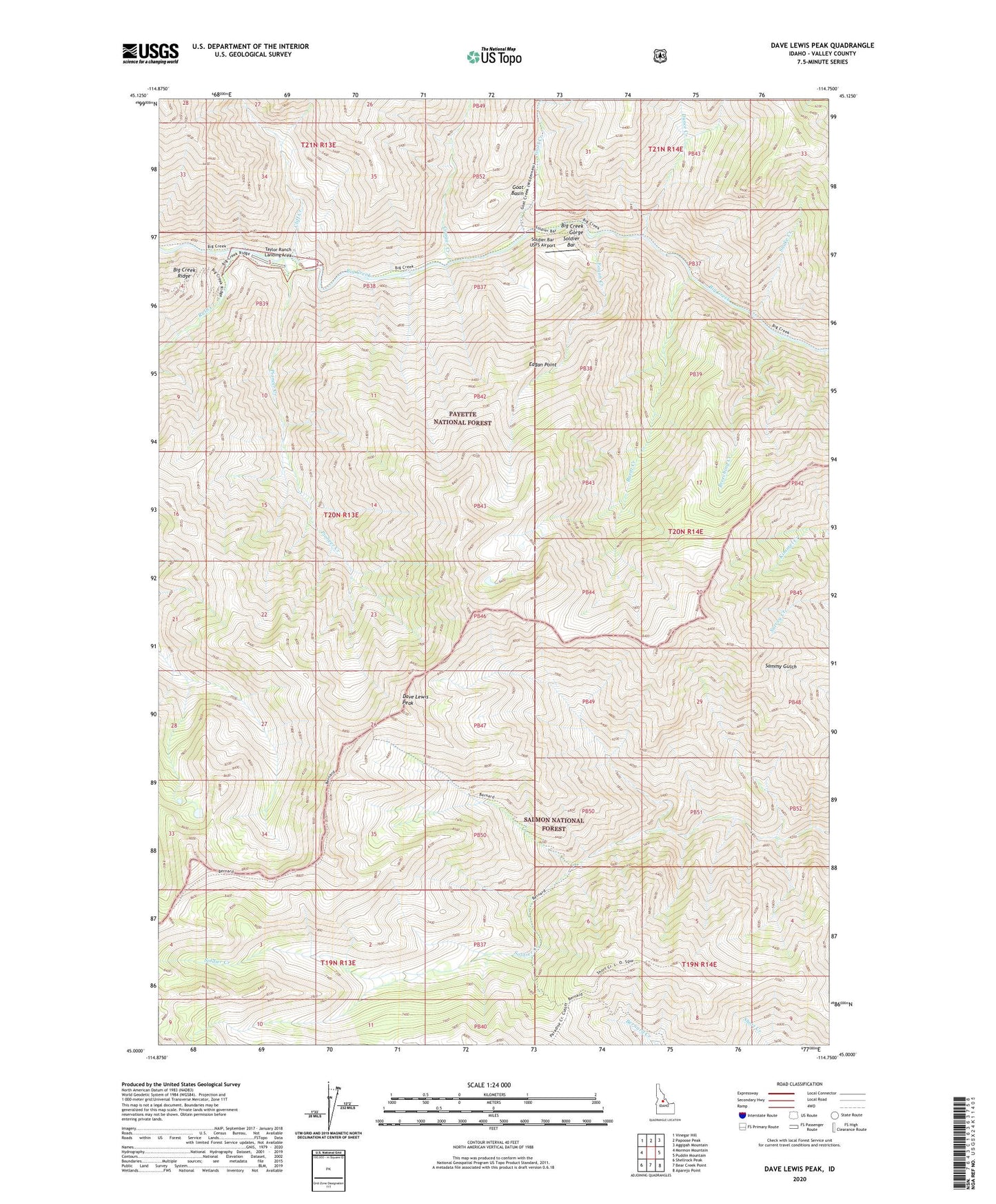
Dave Lewis Peak Idaho US Topo Map
Couldn't load pickup availability
Also explore the Dave Lewis Peak Forest Service Topo of this same quad for updated USFS data
2024 topographic map quadrangle Dave Lewis Peak in the state of Idaho. Scale: 1:24000. Based on the newly updated USGS 7.5' US Topo map series, this map is in the following counties: Valley. The map contains contour data, water features, and other items you are used to seeing on USGS maps, but also has updated roads and other features. This is the next generation of topographic maps. Printed on high-quality waterproof paper with UV fade-resistant inks.
Quads adjacent to this one:
West: Mormon Mountain
Northwest: Vinegar Hill
North: Papoose Peak
Northeast: Aggipah Mountain
East: Puddin Mountain
Southeast: Aparejo Point
South: Bear Creek Point
Southwest: Shellrock Peak
This map covers the same area as the classic USGS quad with code o45114a7.
Contains the following named places: Big Creek Gorge, Breeching Creek, Burnt Creek, Cliff Creek, Cougar Creek, Dave Lewis Peak, Dunce Creek, Eagan Creek, Eagan Point, Goat Basin, Goat Creek, Pioneer Creek, Rush Creek, Short Creek Lookout, Snake Creek, Soldier Bar, Soldier Bar USFS Airport, Taylor Ranch Landing Area