MyTopo
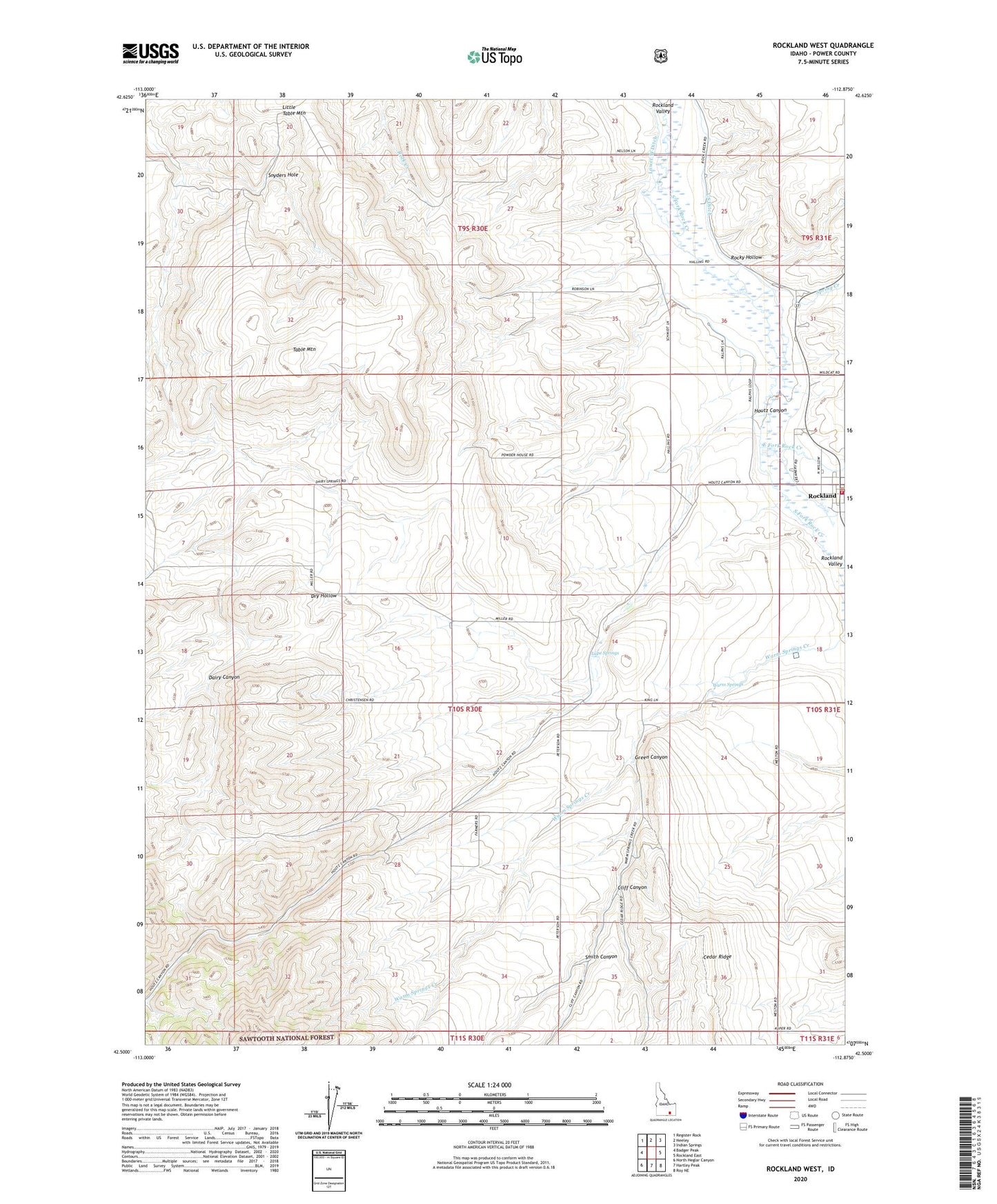
Rockland West Idaho US Topo Map
Couldn't load pickup availability
Also explore the Rockland West Forest Service Topo of this same quad for updated USFS data
2024 topographic map quadrangle Rockland West in the state of Idaho. Scale: 1:24000. Based on the newly updated USGS 7.5' US Topo map series, this map is in the following counties: Power. The map contains contour data, water features, and other items you are used to seeing on USGS maps, but also has updated roads and other features. This is the next generation of topographic maps. Printed on high-quality waterproof paper with UV fade-resistant inks.
Quads adjacent to this one:
West: Badger Peak
Northwest: Register Rock
North: Neeley
Northeast: Indian Springs
East: Rockland East
Southeast: Roy NE
South: Hartley Peak
Southwest: North Heglar Canyon
This map covers the same area as the classic USGS quad with code o42112e8.
Contains the following named places: Cliff Canyon, Dairy Canyon, East Fork Rock Creek, Green Canyon, Houtz Canyon, Lupe Springs, Power County Emergency Medical Services Rockland, Rockland, Rockland Post Office, Rockland Rural Fire District, Rocky Hollow, Smith Canyon, Snyders Hole, South Fork Rock Creek, Spring Creek, Table Mountain, Warm Springs