MyTopo
Shelly Mountain Idaho US Topo Map
Couldn't load pickup availability
Also explore the Shelly Mountain Forest Service Topo of this same quad for updated USFS data
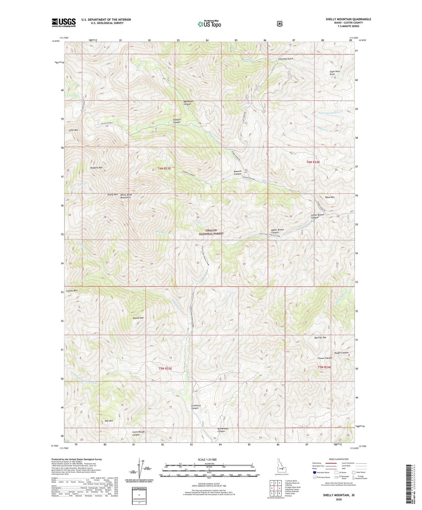
2023 topographic map quadrangle Shelly Mountain in the state of Idaho. Scale: 1:24000. Based on the newly updated USGS 7.5' US Topo map series, this map is in the following counties: Custer. The map contains contour data, water features, and other items you are used to seeing on USGS maps, but also has updated roads and other features. This is the next generation of topographic maps. Printed on high-quality waterproof paper with UV fade-resistant inks.
Quads adjacent to this one:
West: Copper Basin Knob
Northwest: Lehman Butte
North: Mackay Reservoir
Northeast: Mackay
East: Big Blind Canyon
Southeast: Grouse
South: Miller Peak
Southwest: Smiley Mountain
This map covers the same area as the classic USGS quad with code o43113g6.
Contains the following named places: Big Flat Top, Blue Rock, Cape Horn Draw, Carcass Creek, Champion Mine, Chimney Gulch, Crawford Canyon, Lime Mountain, Lower Brown Canyon, Lupine Creek, Lupine Mountain, Mammoth, Mammoth Canyon, Middle Fork Cherry Creek, Middle Mountain, Mud Lake, Redbird Mountain, Richardson Canyon, Round Mountain, Sawmill Canyon, Shelly Mountain, Stewart Canyon, Table Mountain, Trail Creek, Upper Brown Canyon, White Knob Mountains