
MyTopo
Copper Basin Knob Idaho US Topo Map
Couldn't load pickup availability
Also explore the Copper Basin Knob Forest Service Topo of this same quad for updated USFS data
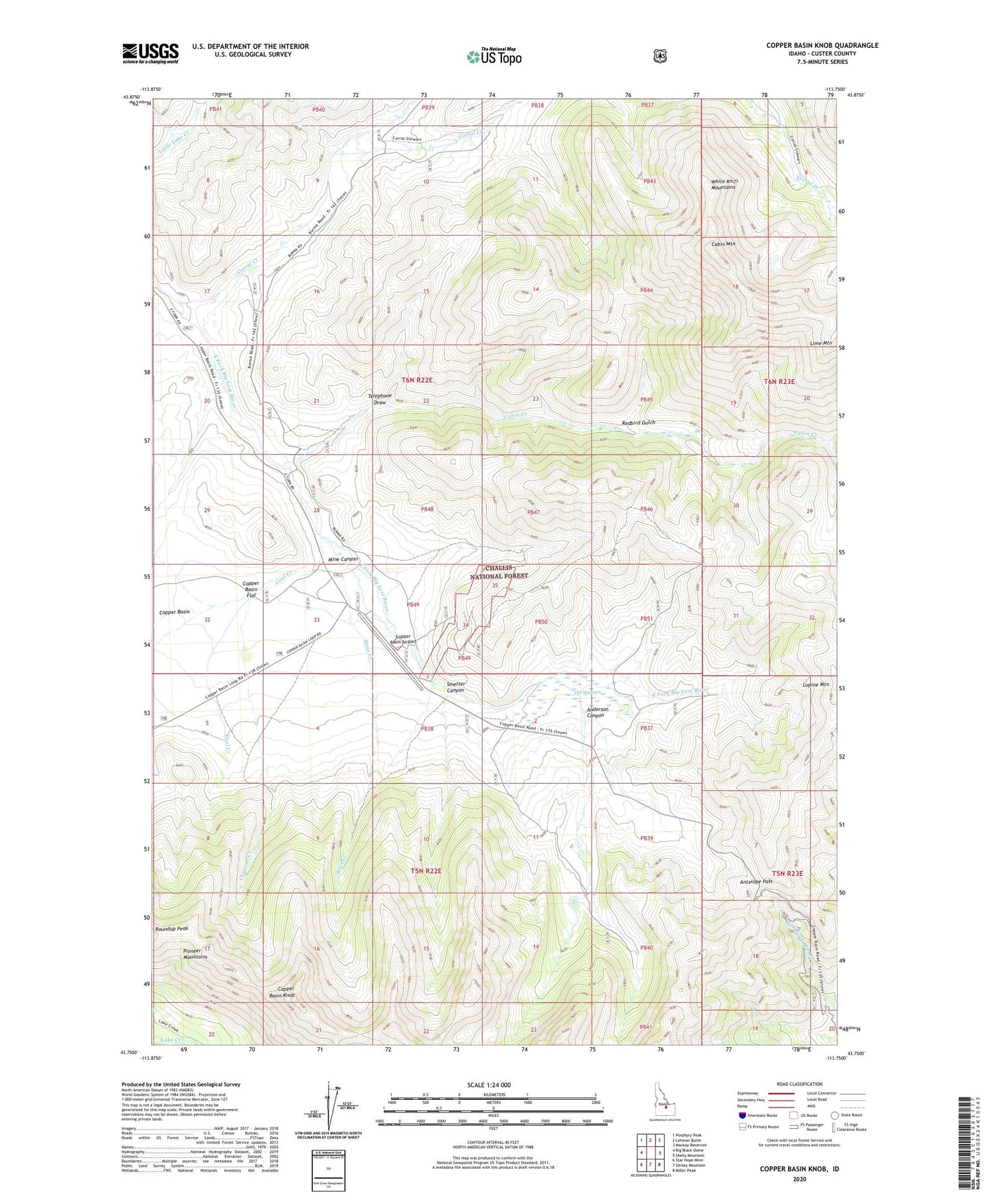
2023 topographic map quadrangle Copper Basin Knob in the state of Idaho. Scale: 1:24000. Based on the newly updated USGS 7.5' US Topo map series, this map is in the following counties: Custer. The map contains contour data, water features, and other items you are used to seeing on USGS maps, but also has updated roads and other features. This is the next generation of topographic maps. Printed on high-quality waterproof paper with UV fade-resistant inks.
Quads adjacent to this one:
West: Big Black Dome
Northwest: Porphyry Peak
North: Lehman Butte
Northeast: Mackay Reservoir
East: Shelly Mountain
Southeast: Miller Peak
South: Smiley Mountain
Southwest: Star Hope Mine
This map covers the same area as the classic USGS quad with code o43113g7.
Contains the following named places: Anderson Canyon, Antelope Pass, Cabin Creek, Cabin Mountain, Charcoal Creek, Coal Creek, Copper Basin Airport, Copper Basin Flat, Copper Basin Guard Station, Copper Basin Knob, Copper Basin Mine, Corral Creek, Corral Creek Cow Camp, Coyote Creek, Mine Canyon, Redbird Gulch, Smelter Canyon, Steve Creek, Telephone Draw, The Swamps


