MyTopo
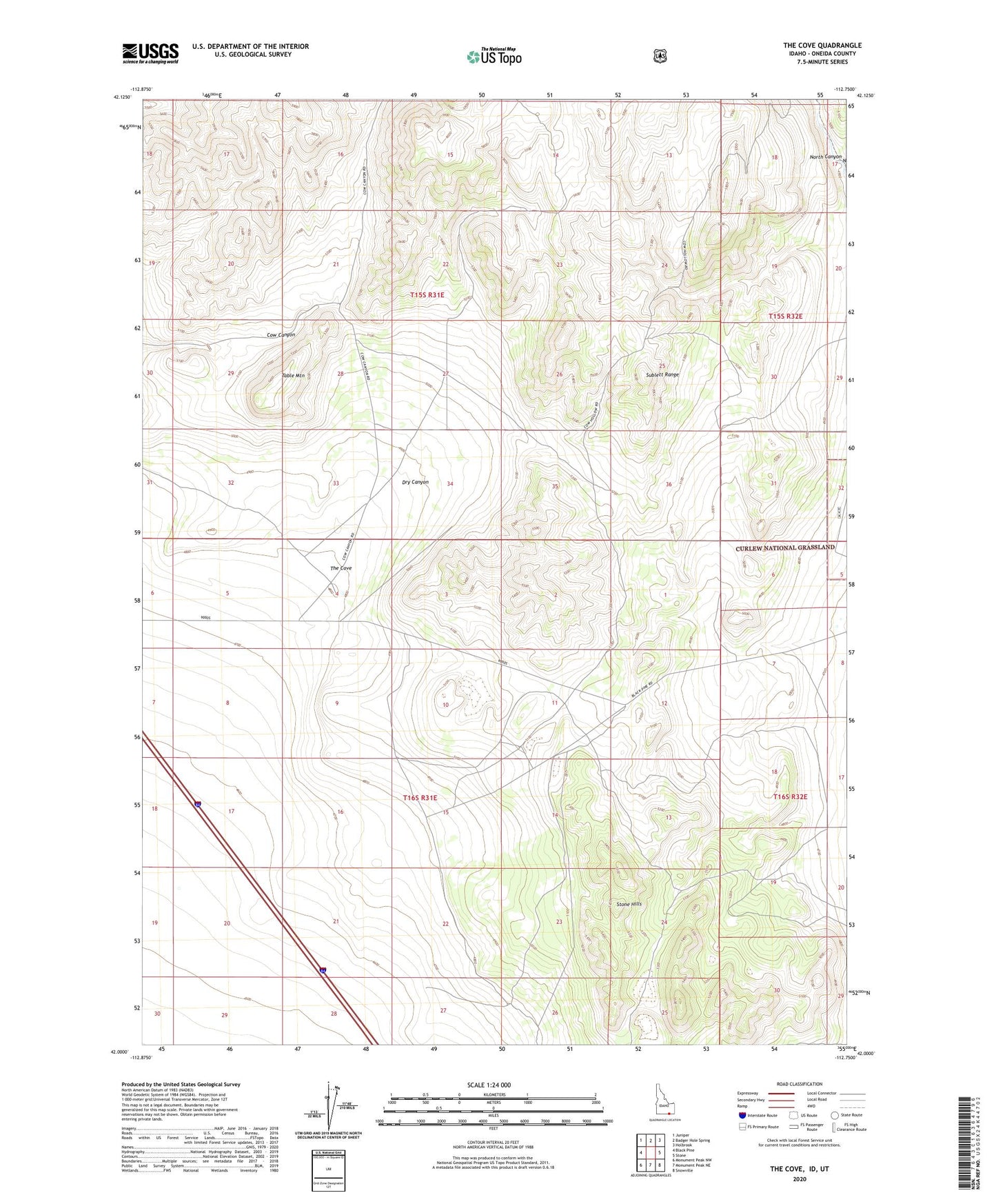
The Cove Idaho US Topo Map
Couldn't load pickup availability
Also explore the The Cove Forest Service Topo of this same quad for updated USFS data
2024 topographic map quadrangle The Cove in the state of Idaho. Scale: 1:24000. Based on the newly updated USGS 7.5' US Topo map series, this map is in the following counties: Oneida, Box Elder. The map contains contour data, water features, and other items you are used to seeing on USGS maps, but also has updated roads and other features. This is the next generation of topographic maps. Printed on high-quality waterproof paper with UV fade-resistant inks.
Quads adjacent to this one:
West: Black Pine
Northwest: Juniper
North: Badger Hole Spring
Northeast: Holbrook
East: Stone
Southeast: Snowville
South: Monument Peak NE
Southwest: Monument Peak NW
Contains the following named places: Dry Canyon, Stone Hills, Table Mountain, The Cove