MyTopo
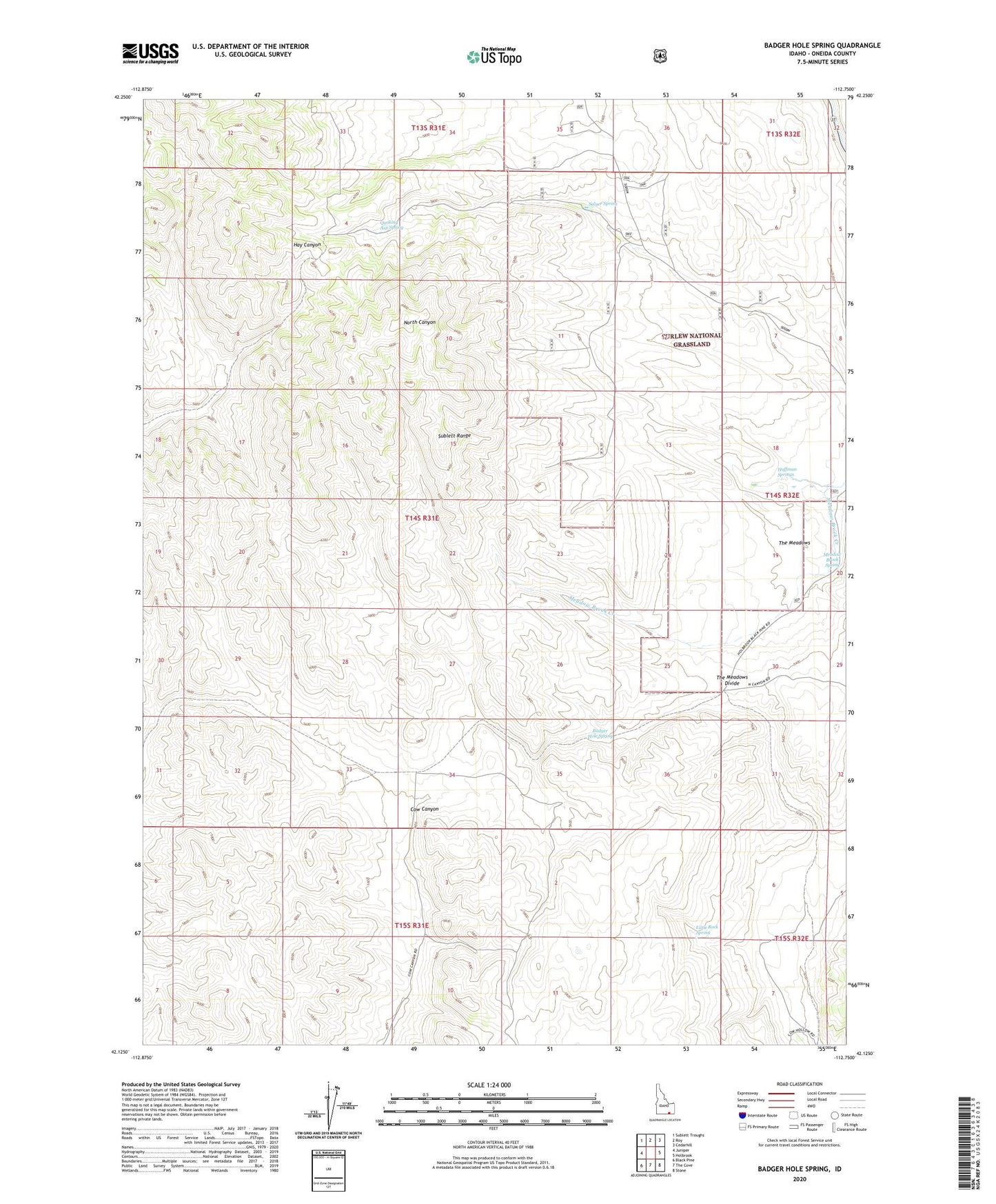
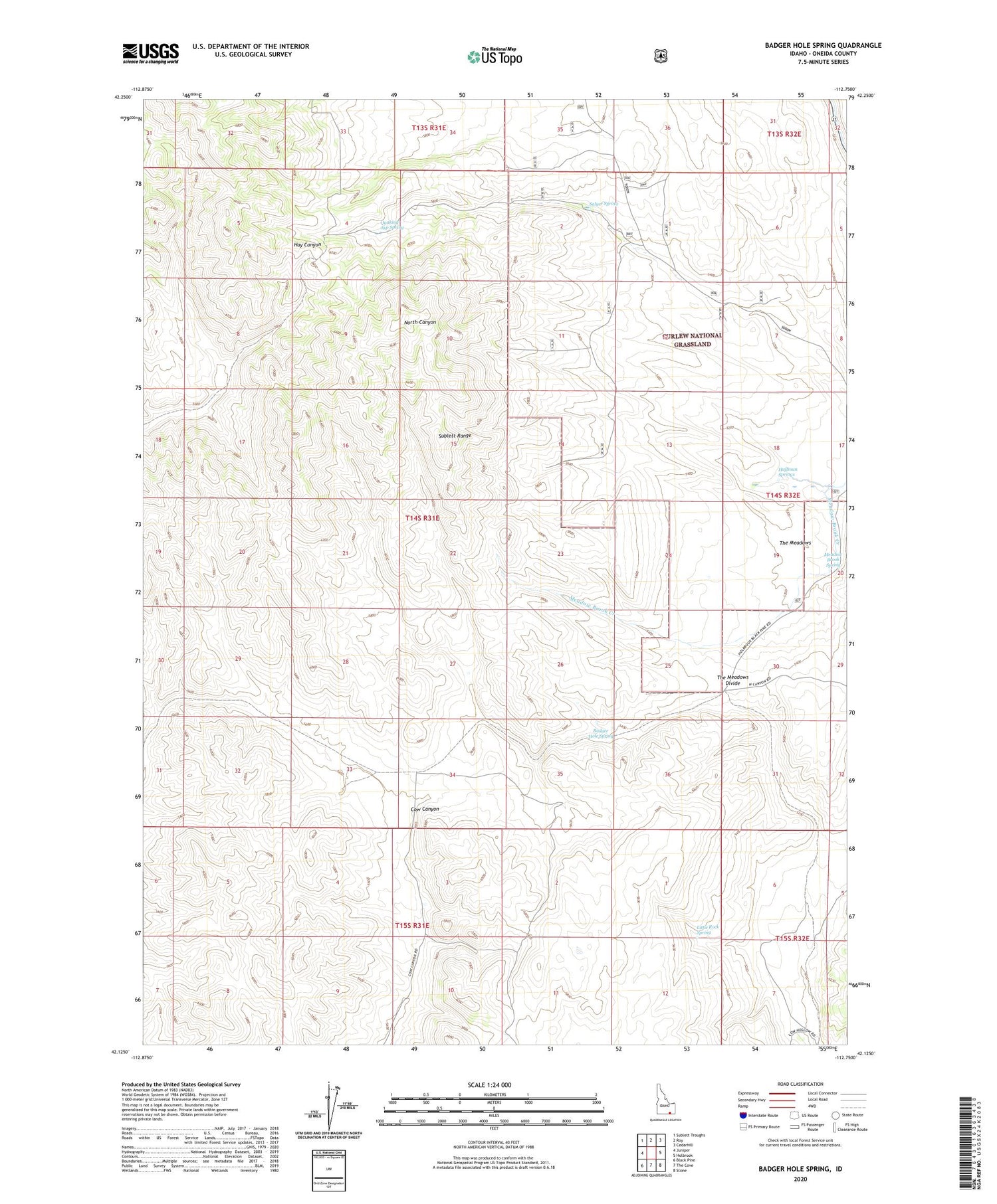
Badger Hole Spring Idaho US Topo Map
Couldn't load pickup availability
Also explore the Badger Hole Spring Forest Service Topo of this same quad for updated USFS data
2023 topographic map quadrangle Badger Hole Spring in the state of Idaho. Scale: 1:24000. Based on the newly updated USGS 7.5' US Topo map series, this map is in the following counties: Oneida. The map contains contour data, water features, and other items you are used to seeing on USGS maps, but also has updated roads and other features. This is the next generation of topographic maps. Printed on high-quality waterproof paper with UV fade-resistant inks.
Quads adjacent to this one:
West: Juniper
Northwest: Sublett Troughs
North: Roy
Northeast: Cedarhill
East: Holbrook
Southeast: Stone
South: The Cove
Southwest: Black Pine
This map covers the same area as the classic USGS quad with code o42112b7.
Contains the following named places: Badger Hole Spring, Huffman Springs, Huffman Well, Little Rock Spring, Meadow Brook Spring, Quaking Asp Spring, Salyer Cow Camp, Salyer Spring, The Meadows, The Meadows Divide